Forziere aperto
+${chestReward.xp} XP
Explorer
NOUVEAU ×${chestReward.collectible.quantity}
tapez pour fermer

Guarda i monumenti intorno a te in AR Apri i forzieri nell'app

Around Us è pensato per il tuo telefono — inquadra le strade con la fotocamera e scopri i monumenti e i luoghi intorno a te in realtà aumentata. Around Us è pensata per il tuo smartphone — i forzieri si sbloccano quando cammini, esplori e fotografi i luoghi vicini.

•

Attiva posizione

Abbiamo bisogno della tua posizione per mostrarti luoghi interessanti intorno a te

Scopri luoghi nelle vicinanze

Trova luoghi interessanti e gemme nascoste intorno a te

Indicazioni precise

Ottieni indicazioni precise e distanze verso i luoghi

La tua posizione non viene mai condivisa con altri utenti. Viene utilizzata solo quando tocchi il pulsante posizione.

Noke

Accedi al tuo account

Inizia a esplorare — è gratis

Scelto da 91.051 viaggiatori nel mondo

Continua con Google
Continua con Apple
o

Ti invieremo un codice per connetterti

Continuando, accetti i nostri Termini e Condizioni e la nostra Informativa sulla Privacy

Controlla la tua casella di posta

Abbiamo inviato un codice PIN nella tua casella di posta. Inserisci il codice qui sotto.

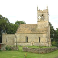
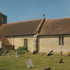
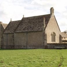
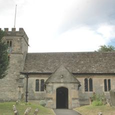
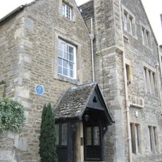
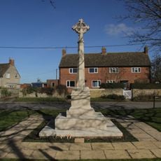
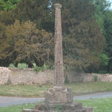
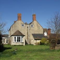
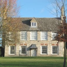
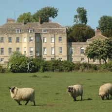
Noke, village and civil parish in Cherwell district, Oxfordshire, England

La comunità dei viaggiatori curiosi

AroundUs riunisce migliaia di luoghi selezionati, consigli locali e gemme nascoste, arricchiti ogni giorno da oltre 91.051 contributori in tutto il mondo.

Inizia a esplorare
Posizione
Confina con
Oddington, Islip, Woodeaton, Beckley and Stowood, Fencott and Murcott
Coordinate GPS
51.81400,-1.21300
Ultimo aggiornamento
4 marzo 2025 alle 06:45
Intorno a questo luogo
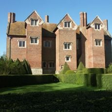
Beckley Park
Regno Unito

Beckley Park

3.6 km
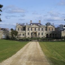
Woodperry House
Regno Unito

Woodperry House

4.2 km
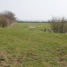
Otmoor RSPB reserve
Regno Unito

Otmoor RSPB reserve

2.5 km
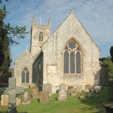
St Nicholas' Church, Islip
Regno Unito

St Nicholas' Church, Islip

2 km
Church of the Holy Rood, Woodeaton
Regno Unito

Church of the Holy Rood, Woodeaton

1.5 km
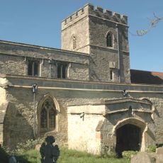
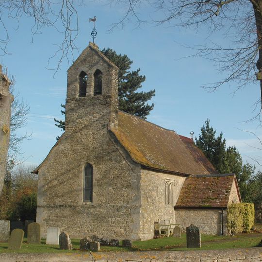
Church of St Giles
Regno Unito

Church of St Giles

112 m
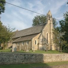
Church of St Andrew
Regno Unito

Church of St Andrew

1.9 km
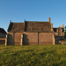
Chapel At Water Eaton Manor House
Regno Unito

Chapel At Water Eaton Manor House

3 km
Church of St Nicholas
Regno Unito

Church of St Nicholas

4.5 km
Church of the Assumption of the Blessed Virgin Mary
Regno Unito

Church of the Assumption of the Blessed Virgin Mary

2.6 km
Church of St Thomas A Beckett
Regno Unito

Church of St Thomas A Beckett

3.1 km
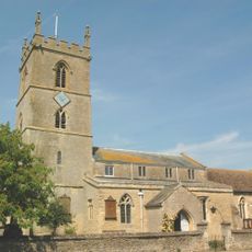
Church of St Mary the Virgin
Regno Unito

Church of St Mary the Virgin

3.3 km
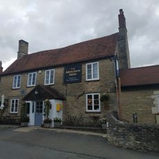
The Abingdon Arms Public House
Regno Unito

The Abingdon Arms Public House

2.9 km
Manor House
Regno Unito

Manor House

3 km
Islip (Oxfordshire) War Memorial
Regno Unito

Islip (Oxfordshire) War Memorial

2.1 km
Manor House
Regno Unito

Manor House

3 km
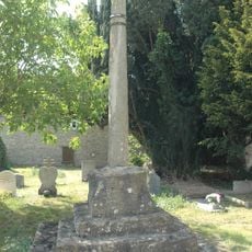
Woodeaton Cross
Regno Unito

Woodeaton Cross

1.4 km
Northfield Farmhouse
Regno Unito

Northfield Farmhouse

2.7 km
Gateway Approximately 30 Metres East Of Water Eaton Manor House
Regno Unito

Gateway Approximately 30 Metres East Of Water Eaton Manor House

2.9 km
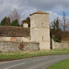
Manor House, Water Tower, Workshops And Attached Walls Approximately 70 Metres To South East
Regno Unito

Manor House, Water Tower, Workshops And Attached Walls Approximately 70 Metres To South East

1.5 km
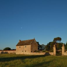
Home Farmhouse, Dovecote Approximately 80 Metres To East
Regno Unito

Home Farmhouse, Dovecote Approximately 80 Metres To East

3 km
Church Farmhouse
Regno Unito

Church Farmhouse

4.5 km
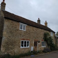
Home Farmhouse
Regno Unito

Home Farmhouse

3.1 km
Churchyard Cross Approximately 5 Metres South West Of Church Of St Mary The Virgin
Regno Unito

Churchyard Cross Approximately 5 Metres South West Of Church Of St Mary The Virgin

3.3 km
Manor House
Regno Unito

Manor House

1.5 km
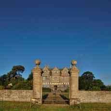
North Pavilion And Attached Walls Approximately 40 Metres North East Of The Manorhouse
Regno Unito

North Pavilion And Attached Walls Approximately 40 Metres North East Of The Manorhouse

2.9 km
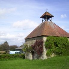
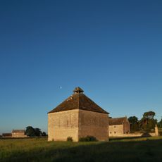
Dovecote Approximately 80 Metres East Of The Manorhouse
Regno Unito

Dovecote Approximately 80 Metres East Of The Manorhouse

2.9 km
South Pavilion And Attached Walls Approximately 40 Metres East Of The Manorhouse
Regno Unito

South Pavilion And Attached Walls Approximately 40 Metres East Of The Manorhouse

2.9 km
Mostra la mappa completa
Recensioni
Condividi la tua esperienza

Nessuna recensione

Discussioni
Avvia una discussione...

Nessuna discussione

« Noke - village and civil parish in Cherwell district, Oxfordshire, England » è fornito da Around Us (it.aroundus.com). Le immagini e i testi sono tratti dal progetto Wikimedia con licenza Creative Commons. È possibile copiare, distribuire e modificare copie di questa pagina, alle condizioni stabilite dalla licenza, a condizione che questa nota sia chiaramente visibile.

Scopri tesori nascosti ad ogni viaggio!

Da piccoli caffè caratteristici a panorami nascosti, fuggi dalla folla e scova i posti che fanno davvero per te. La nostra app ti semplifica tutto: ricerca vocale, filtri furbi, percorsi ottimizzati e dritte autentiche da viaggiatori di tutto il mondo. Scaricala subito per vivere l'avventura sul tuo smartphone!

Around Us App Screenshot
❝

Un nuovo approccio alla scoperta turistica❞

— Le Figaro

❝

Tutti i luoghi che meritano di essere esplorati❞

— France Info

❝

Un’escursione su misura in pochi clic❞

— 20 Minutes

Around Us
Guida di viaggio e mappe
Scarica

Invia al tuo telefono

QR Code
1

Apri l'app fotocamera sul tuo cellulare.

2

Inquadra il codice QR con la fotocamera. Apparirà una notifica.

3

Tocca la notifica per aprire il link.