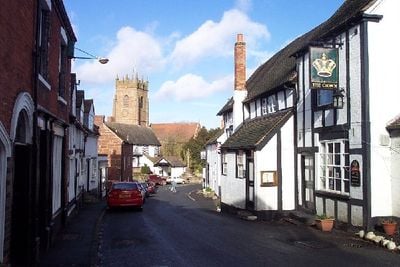
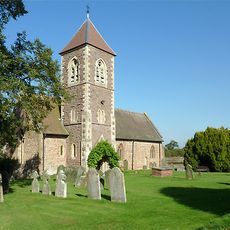
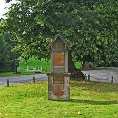
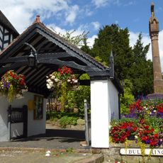
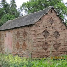
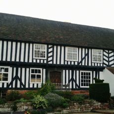
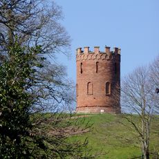
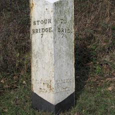
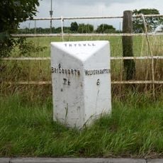
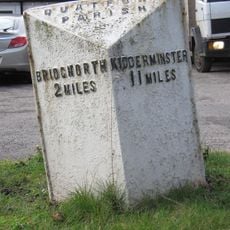
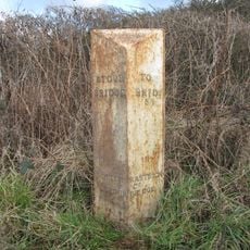
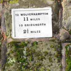
Claverley, village in Shropshire, England, UK
La comunità dei viaggiatori curiosi
AroundUs riunisce migliaia di luoghi selezionati, consigli locali e gemme nascoste, arricchiti ogni giorno da oltre 60,000 contributori in tutto il mondo.
Around Us è pensato per il tuo telefono — inquadra le strade con la fotocamera e scopri i monumenti e i luoghi intorno a te in realtà aumentata. Around Us è pensata per il tuo smartphone — i forzieri si sbloccano quando cammini, esplori e fotografi i luoghi vicini.
Abbiamo bisogno della tua posizione per mostrarti luoghi interessanti intorno a te
Trova luoghi interessanti e gemme nascoste intorno a te
Ottieni indicazioni precise e distanze verso i luoghi
La tua posizione non viene mai condivisa con altri utenti. Viene utilizzata solo quando tocchi il pulsante posizione.

La comunità dei viaggiatori curiosi
AroundUs riunisce migliaia di luoghi selezionati, consigli locali e gemme nascoste, arricchiti ogni giorno da oltre 60,000 contributori in tutto il mondo.


Nessuna recensione
Nessuna discussione
Da piccoli caffè caratteristici a panorami nascosti, fuggi dalla folla e scova i posti che fanno davvero per te. La nostra app ti semplifica tutto: ricerca vocale, filtri furbi, percorsi ottimizzati e dritte autentiche da viaggiatori di tutto il mondo. Scaricala subito per vivere l'avventura sul tuo smartphone!

Un nuovo approccio alla scoperta turistica❞
— Le Figaro
Tutti i luoghi che meritano di essere esplorati❞
— France Info
Un’escursione su misura in pochi clic❞
— 20 Minutes
Apri l'app fotocamera sul tuo cellulare.
Inquadra il codice QR con la fotocamera. Apparirà una notifica.
Tocca la notifica per aprire il link.