
Haddon, village and civil parish in Huntingdonshire, Cambridgeshire, England
Posizione: Huntingdonshire
Coordinate GPS: 52.51700,-0.31600
Ultimo aggiornamento: 6 marzo 2025 alle 13:46
Durobrivae
5.2 km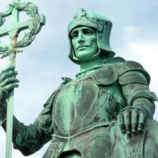
Pearl Assurance War Memorial
4.2 km
Orton Pit
2.5 km
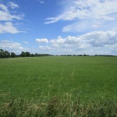
Castor Flood Meadows
5.4 km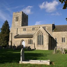
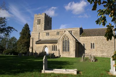
Parish Church of St Mary
941 m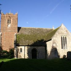
Parish Church of All Saints
957 m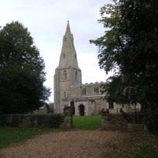
Parish Church of St Michael
3.5 km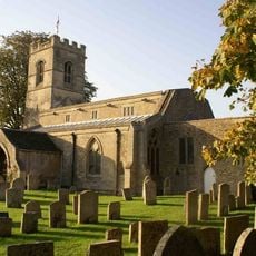
Church of St Mary
3.9 km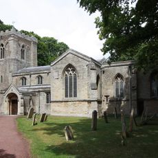
Parish Church of St Andrew
3.7 km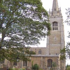
Parish Church of St Peter
3.4 km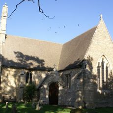
Parish Church of St Helen
2 km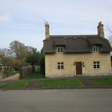
8, Church Street
3.7 km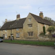
10, Church Street
3.8 km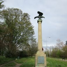
Monument 1/4 Mile North Of Norman Cross
1.8 km
Mile Post Circa 50 Metres South Of Norman House
2.4 km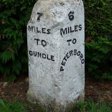
Milestone Circa 1500 Metres North East Of Sheelpwalk Lodge
3.6 km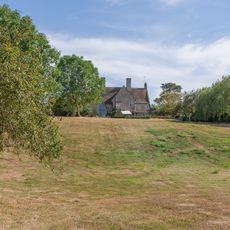
The Manor House
3.9 km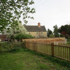
Manor Farmhouse
1 km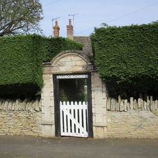
Gateway To West Of Number 4
3.7 km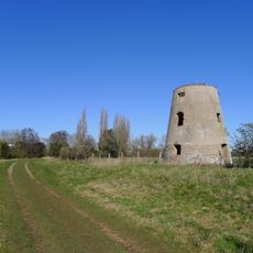
Castor Mill
4.8 km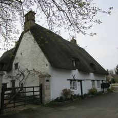
1 3, Mill Lane
3.8 km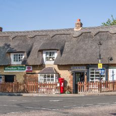
Alwalton Office
3.6 km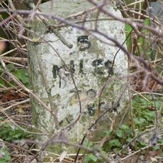
Milestone Circa 10 Metres South Of Kates Cabin
3.5 km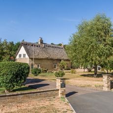
Orchard House
3.6 km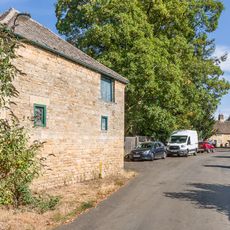
Stables And Coach House To The Old Rectory
3.9 km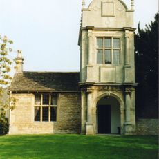
Lynch Lodge, Alwalton
3.9 km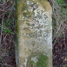
Milestone, a mile E of village
4.4 km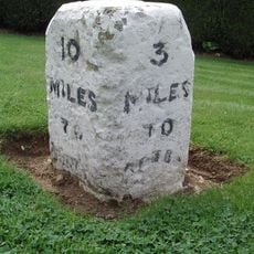
Milestone, Oundle Road, Orton Waterville
4.5 kmHa visitato questo luogo? Tocchi le stelle per valutarlo e condividere la Sua esperienza o foto con la community! Provalo ora! Puoi annullarlo in qualsiasi momento.
Scopri tesori nascosti ad ogni viaggio!
Da piccoli caffè caratteristici a panorami nascosti, fuggi dalla folla e scova i posti che fanno davvero per te. La nostra app ti semplifica tutto: ricerca vocale, filtri furbi, percorsi ottimizzati e dritte autentiche da viaggiatori di tutto il mondo. Scaricala subito per vivere l'avventura sul tuo smartphone!

Un nuovo approccio alla scoperta turistica❞
— Le Figaro
Tutti i luoghi che meritano di essere esplorati❞
— France Info
Un’escursione su misura in pochi clic❞
— 20 Minutes