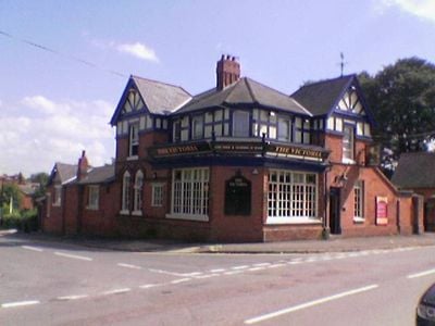
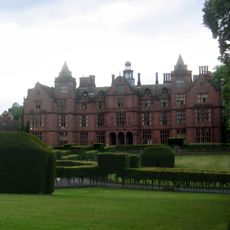
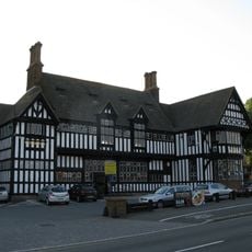
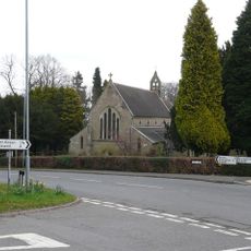
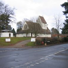
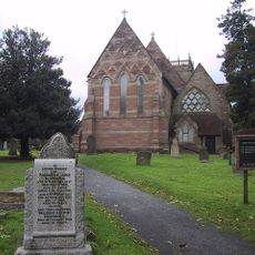
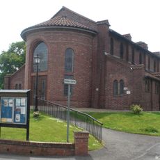
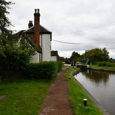
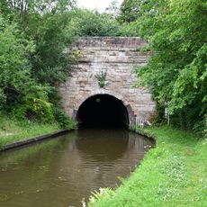
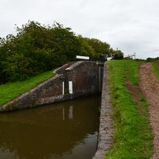
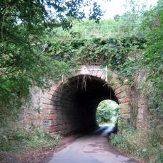
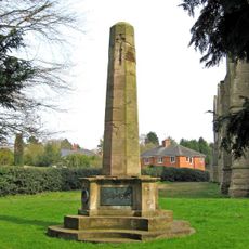
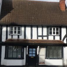
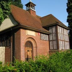
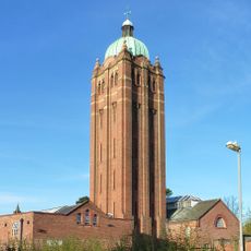
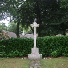
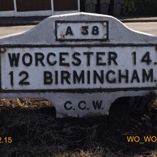
Barnt Green, village in Worcestershire
Posizione: Bromsgrove
Coordinate GPS: 52.36240,-1.98761
Ultimo aggiornamento: 12 maggio 2025 alle 14:09
Hewell Grange
4.6 km
Black Horse
5.6 km
Cofton Park
2.5 km
Barnt Green House
410 m
Cofton Hall
1.2 km
Our Lady and St Brigid's Church, Northfield
5.5 km
Church of St Michael, Cofton Hackett
1.6 km
Holy Trinity Church, Lickey
2.1 km
St John the Baptist's Church, Longbridge
3.7 km
St Chad's Church, Rubery
4 km
Church of All Saints
4.9 km
Church of St Catherine
2.3 km
Church of St Laurence
2.2 km
Church of St Andrew
234 m
Worcester and Birmingham Canal, Lock Cottage at Lock 58, Tardebigge Flight
4.8 km
Worcester and Birmingham Canal, South Portal of the Tardebigge Tunnel
4.6 km
Worcester and Birmingham Canal, Lock Number 58 Including Side Pond Retaining Wall and Sluice Immediately South
4.8 km
Blackwell Road Railway Under Bridge At Ngr So9884371537
3.1 km
Bromsgrove All Saints' War Memorial
4.9 km
17, The Square
2.2 km
Old Rednal Library
3.5 km
Water Tower At Hollymoor Hospital
4.7 km
Lickey War Memorial
2.1 km
Water Tower
5.1 km
Workshops About 75 Metres South West Of South Porch Of Tardbigge Tunnel
4.7 km
Plymouth House
4.6 km
Milestone, Redditch Road, Arrowfield Top
2 km
Milestone, Lickey End, S of M42 Jct 1
4.2 kmRecensioni
Ha visitato questo luogo? Tocchi le stelle per valutarlo e condividere la Sua esperienza o foto con la community! Provalo ora! Puoi annullarlo in qualsiasi momento.
Scopri tesori nascosti ad ogni viaggio!
Da piccoli caffè caratteristici a panorami nascosti, fuggi dalla folla e scova i posti che fanno davvero per te. La nostra app ti semplifica tutto: ricerca vocale, filtri furbi, percorsi ottimizzati e dritte autentiche da viaggiatori di tutto il mondo. Scaricala subito per vivere l'avventura sul tuo smartphone!
Un nuovo approccio alla scoperta turistica❞
— Le Figaro
Tutti i luoghi che meritano di essere esplorati❞
— France Info
Un’escursione su misura in pochi clic❞
— 20 Minutes