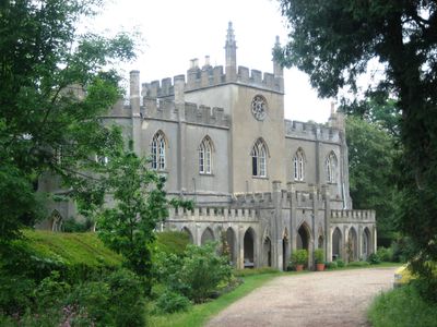
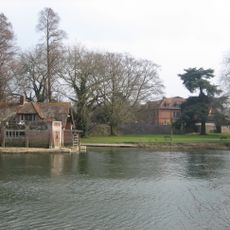
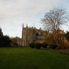
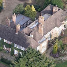
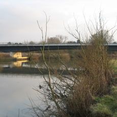
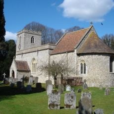
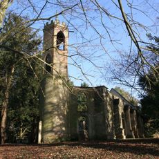
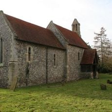
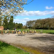
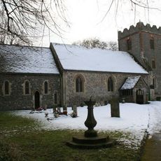
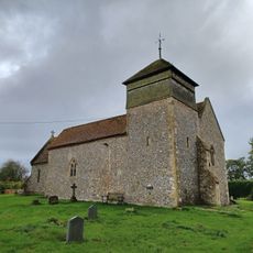
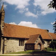
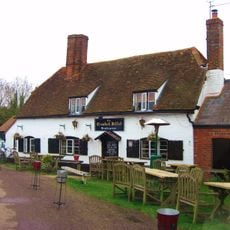
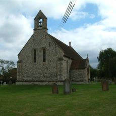
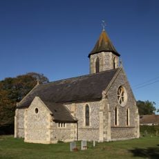
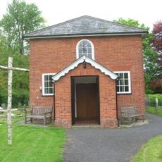
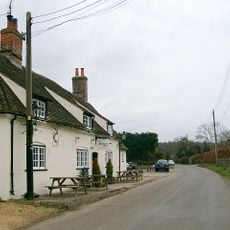
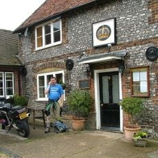
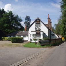
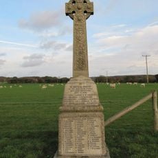
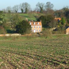
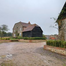
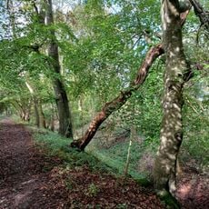
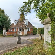
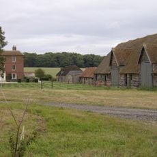
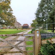
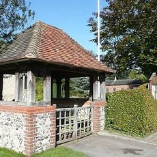
Ipsden, village and civil parish in South Oxfordshire, England
Posizione: South Oxfordshire
Coordinate GPS: 51.56527,-1.06912
Ultimo aggiornamento: 3 marzo 2025 alle 16:47
Carmel College
4.2 km
Braziers Park
1.6 km
Nuffield Place
4 km
Winterbrook Bridge
4.6 km
St Peter and St Paul, Checkendon
3 km
St John the Baptist's Church, Mongewell
4.4 km
St Mary's Church, Newnham Murren
4.6 km
Nuffield Place (National Trust)
4 km
St Mary the Virgin, North Stoke
3.8 km
Church of the Holy Trinity
2.8 km
Church of St Mary
1.2 km
The Crooked Billet Public House
4 km
Church of St Leonard
3.4 km
Church of St John the Evangelist
3.5 km
Stoke Row Independent Chapel
4.1 km
The Highwayman Public House
3.9 km
The Crown Public House
3.6 km
Maharajah's Well
3.7 km
The Four Horseshoes
3.1 km
Ipsden war memorial
1.3 km
The Old Vicarage
1.3 km
Howberry Wood Farm, Granary Approximately 5 Metres East Of Farmhouse
4.2 km
Grim's Ditch; portion from Mongewell Park Lodge to S of Nuffield church
1.9 km
The Lodge, Gate Piers And Flanking Walls, Carmel College
3.8 km
English Farmhouse
3 km
Howberry Wood Farmhouse
4.2 km
Checkendon War Memorial Lychgate
3.1 km
Milestone, Port Hill; 20m W of lane to Hayden Farm
4.1 kmHa visitato questo luogo? Tocchi le stelle per valutarlo e condividere la Sua esperienza o foto con la community! Provalo ora! Puoi annullarlo in qualsiasi momento.
Scopri tesori nascosti ad ogni viaggio!
Da piccoli caffè caratteristici a panorami nascosti, fuggi dalla folla e scova i posti che fanno davvero per te. La nostra app ti semplifica tutto: ricerca vocale, filtri furbi, percorsi ottimizzati e dritte autentiche da viaggiatori di tutto il mondo. Scaricala subito per vivere l'avventura sul tuo smartphone!
Un nuovo approccio alla scoperta turistica❞
— Le Figaro
Tutti i luoghi che meritano di essere esplorati❞
— France Info
Un’escursione su misura in pochi clic❞
— 20 Minutes