
Hillington, village and civil parish in Norfolk, United Kingdom
Posizione: King's Lynn and West Norfolk
Coordinate GPS: 52.79955,0.55133
Ultimo aggiornamento: 18 marzo 2025 alle 18:16
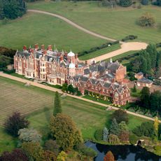
Sandringham House
4.2 km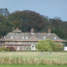
Anmer Hall
4.3 km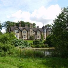
York Cottage
3.8 km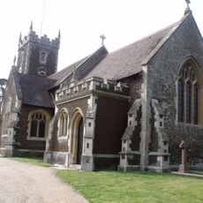
St Mary Magdalene Church, Sandringham
4.3 km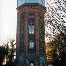
Appleton Water Tower
2.8 km
Roydon Common
4.5 km
Sandringham Museum & Stables Tearoom
4.1 km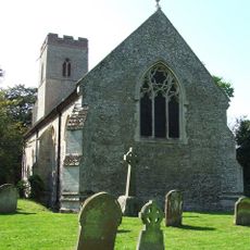
Church of St Andrew, Congham
2 km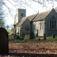
Church of St. Mary
4.3 km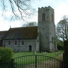
Church of All Saints
2.9 km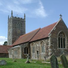
Church of St Peter and St Paul
3.2 km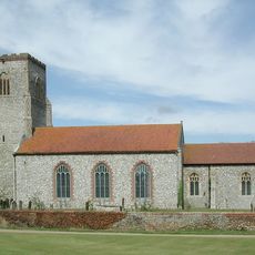
Church of St Mary
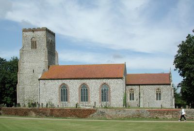
352 m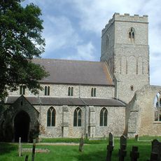
Church of St Mary
1.2 km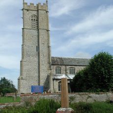
Church of St Botolph
3.6 km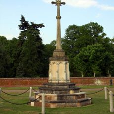
Sandringham War Memorial
4.4 km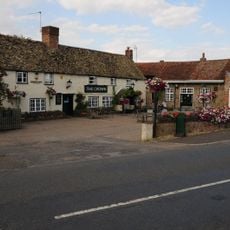
The Crown Inn
6.2 km
Flitcham War Memorial
1.4 km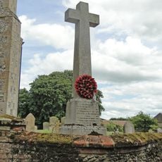
Hillington War Memorial
341 m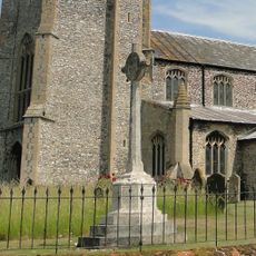
Grimston War Memorial
3.6 km
Appleton medieval and early post-medieval settlement
2 km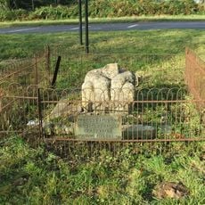
Butler's Cross
4.6 km
Bell barrow 670m north east of Crow Hall: one of a group of round barrows on Harpley Common
4.7 km
Bowl barrow 900m north east of Crow Hall: one of a group of round barrows on Harpley Common
4.8 km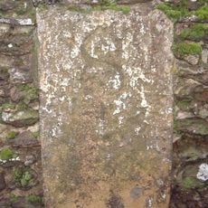
Milestone, boundary wall of Hillington Park
882 m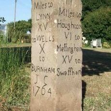
Milestone, corner of garden, nr jct with track
4.5 km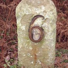
Milestone, roadside at TF6747026830
4.8 km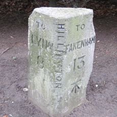
Milestone, by "The Beeches"
1.1 km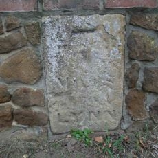
Milestone, Outside 8 Fakenham Rd
579 mHa visitato questo luogo? Tocchi le stelle per valutarlo e condividere la Sua esperienza o foto con la community! Provalo ora! Puoi annullarlo in qualsiasi momento.
Scopri tesori nascosti ad ogni viaggio!
Da piccoli caffè caratteristici a panorami nascosti, fuggi dalla folla e scova i posti che fanno davvero per te. La nostra app ti semplifica tutto: ricerca vocale, filtri furbi, percorsi ottimizzati e dritte autentiche da viaggiatori di tutto il mondo. Scaricala subito per vivere l'avventura sul tuo smartphone!

Un nuovo approccio alla scoperta turistica❞
— Le Figaro
Tutti i luoghi che meritano di essere esplorati❞
— France Info
Un’escursione su misura in pochi clic❞
— 20 Minutes