
Chestfield, a village located in Kent, United Kingdom
Posizione: Canterbury
Coordinate GPS: 51.35376,1.06732
Ultimo aggiornamento: 20 marzo 2025 alle 10:23
Whitstable Museum and Gallery
3 km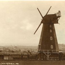
Black Mill
3.2 km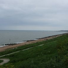
Tankerton Slopes
2 km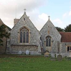
Church of All Saints
1.9 km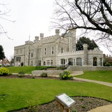
Tankerton Castle
2.5 km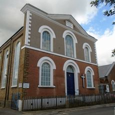
Church of St John (Methodist)
2.9 km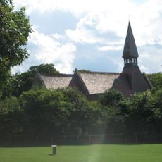
Church of St John the Baptist
1.2 km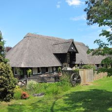
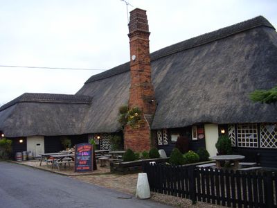
The Barn Tea Rooms
339 m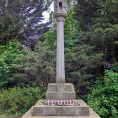
War Memorial in the Churchyard of the Church of All Saints, Whitstable
2 km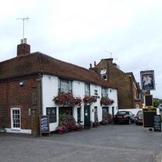
The Two Brewers Public House
3.1 km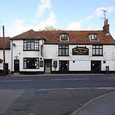
Monument Public House
1.9 km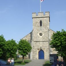
St. Alphege Church
2.9 km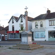
Whitstable War Memorial
3 km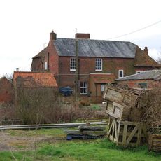
Well Court
4.2 km
Paddock South The Paddock
253 m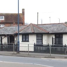
Tollgate Stores
3.2 km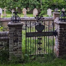
Walter Goodsall Burial Enclosure At All Saints Churchyard
1.9 km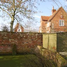
Frog Hall
4.4 km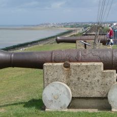
2 Cannon (Opposite No 9)
2.4 km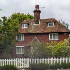
Meadow Croft
1.9 km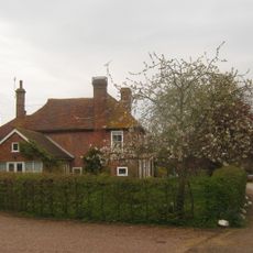
The Manor House The Old Farm House
281 m
Whitstable Library
3 km
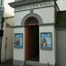
Foresters Hall
3 km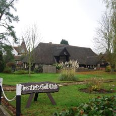
Chestfield Golf Club House
349 m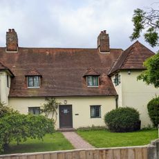
The Old Parsonage
1.8 km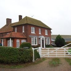
Brooklands Cottage Brooklands Farmhouse
1.6 km
Milestone, Pean Hill, 10m S of entrance to "Blanchenden", N of Pean Farm
4.3 km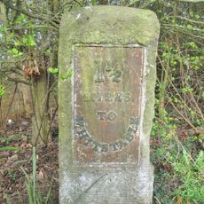
Milestone, Clapham Hill, opp. Marlborough Street
3.6 kmHa visitato questo luogo? Tocchi le stelle per valutarlo e condividere la Sua esperienza o foto con la community! Provalo ora! Puoi annullarlo in qualsiasi momento.
Scopri tesori nascosti ad ogni viaggio!
Da piccoli caffè caratteristici a panorami nascosti, fuggi dalla folla e scova i posti che fanno davvero per te. La nostra app ti semplifica tutto: ricerca vocale, filtri furbi, percorsi ottimizzati e dritte autentiche da viaggiatori di tutto il mondo. Scaricala subito per vivere l'avventura sul tuo smartphone!

Un nuovo approccio alla scoperta turistica❞
— Le Figaro
Tutti i luoghi che meritano di essere esplorati❞
— France Info
Un’escursione su misura in pochi clic❞
— 20 Minutes