
East Layton, civil parish in the Richmondshire district of North Yorkshire, England,
Posizione: North Yorkshire
Coordinate GPS: 54.48433,-1.74873
Ultimo aggiornamento: 29 aprile 2025 alle 18:20
Forcett Hall
2.6 km
Stanwick Camp
2.5 km
Ravensworth Castle
3.6 km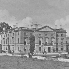
Stanwick Park
2.6 km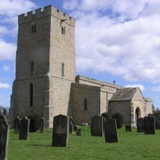
St John the Baptist's Church, Stanwick
3 km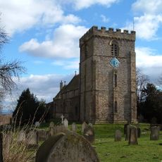
St James' Church, Melsonby
4 km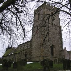
Church of St Peter and St Felix
4.1 km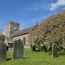
Church of St Cuthbert
2.6 km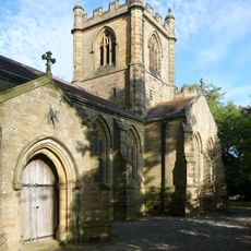
Christ Church
73 m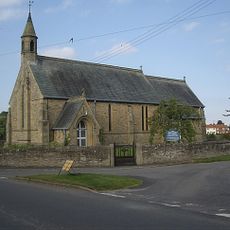
Church of St Paul
4.1 km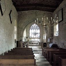
Roman Catholic Church of St Mary
5.3 km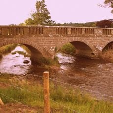
Bridge Over Hartforth Beck
3.8 km
Hartforth Hall
3.5 km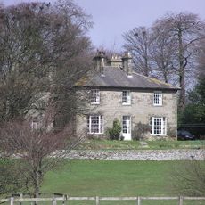
Dunsa Manor
3.2 km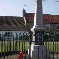
Newsham War Memorial, Richmondshire
5.6 km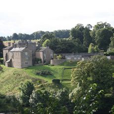
Wycliffe Hall
6.2 km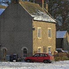
The Old Grammar School And Grammar School House And Attached Wall And Railings
4.1 km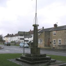
Market Cross And Stocks
5.8 km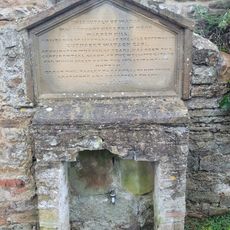
Water Tap And Tablet Opposite Oak Tree Inn
4.5 km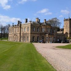
Water Tower Approximately Five Metres To North Of Hartforth Hall
3.5 km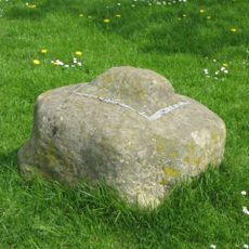
Cross Base
3.1 km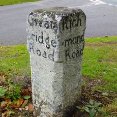
Guide Post Opposite Smallways Inn
5.3 km
Milepost 400 Metres North Of Junction With Pudding Hill Road
5.7 km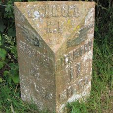
Milepost 400 Metres North Of Junction With Pudding Hill Road
5.7 km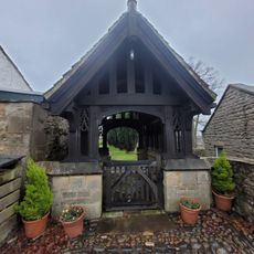
Lych Gate to Church of St Mary
4.5 km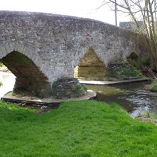
Aldbrough St John Packhorse Bridge
4.1 km
Dovecote
2.8 km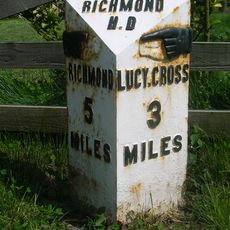
Milestone, S end of Melsonby village
3.9 kmHa visitato questo luogo? Tocchi le stelle per valutarlo e condividere la Sua esperienza o foto con la community! Provalo ora! Puoi annullarlo in qualsiasi momento.
Scopri tesori nascosti ad ogni viaggio!
Da piccoli caffè caratteristici a panorami nascosti, fuggi dalla folla e scova i posti che fanno davvero per te. La nostra app ti semplifica tutto: ricerca vocale, filtri furbi, percorsi ottimizzati e dritte autentiche da viaggiatori di tutto il mondo. Scaricala subito per vivere l'avventura sul tuo smartphone!

Un nuovo approccio alla scoperta turistica❞
— Le Figaro
Tutti i luoghi che meritano di essere esplorati❞
— France Info
Un’escursione su misura in pochi clic❞
— 20 Minutes