
Stone, village and civil parish in Worcestershire, United Kingdom
Posizione: Wyre Forest
Coordinate GPS: 52.36686,-2.21055
Ultimo aggiornamento: 1 aprile 2025 alle 18:58
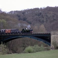
Severn Valley Railway
2.8 km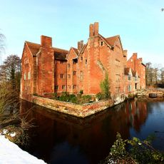
Harvington Hall
2 km
Aggborough
2.7 km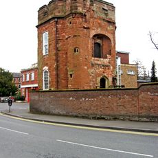
Caldwall Castle
3.3 km
Kidderminster Town Hall
3.4 km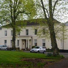
The Shrubbery
3.2 km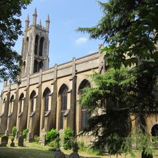
St George's Church, Kidderminster
3.4 km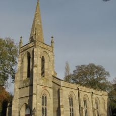
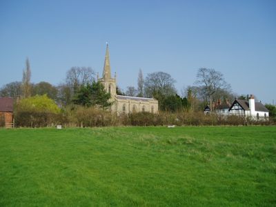
Church of St Mary
745 m
Church of St Mary (Roman Catholic)
2.1 km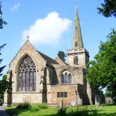
Church of St Cassian, Chaddesley Corbett
3.4 km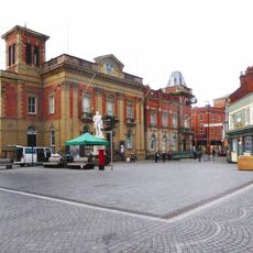
Statue of Sir Rowland Hill
3.4 km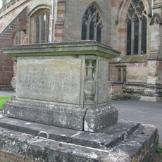
Haynes Memorial About 10 Metres South Of Chancel Of Church Of St Cassian
3.5 km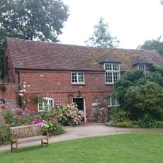
Roman Catholic Chapel About 10 Metres North Of Harvington Hall
2 km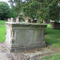
Edwards Memorial About 15 Metres South Of Chancel Of Church Of St Cassain
3.5 km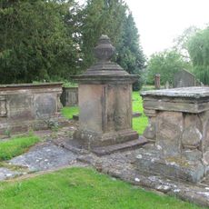
Four Pratt Memorials About 5 Metres South-East Of Chancel Of Church Of St Cassian
3.5 km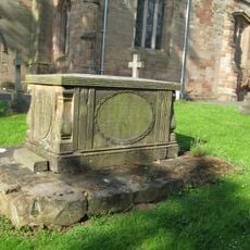
Hooper Memorial About 10 Metres South Of Tower Of Church Of St Cassian
3.4 km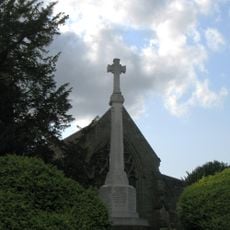
Chaddesley Corbett War Memorial
3.5 km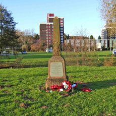
Hoobrook War Memorial
2.3 km
Lodge Farmhouse
3.4 km
Caldwall Hall
3.3 km
Morrisons
3.1 km
Moated site, fishponds and quarries at Harvington Hall
2 km
Churchyard Cross About 10 Metres South Of Church Of St Cassian
3.5 km
The Worcester Cross
3.2 km
Mortons Works (Former Carpet Manufacturing Company)
3.1 km
The Malt House
2 km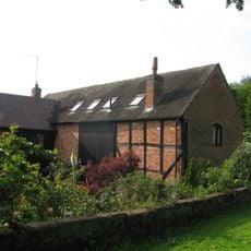
Barn About 30 Metres North Of Lodge Farmhouse
3.4 km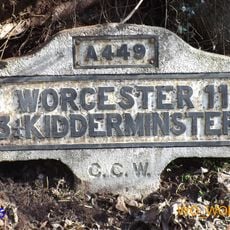
Milestone, N of old railway bridge
2.7 kmHa visitato questo luogo? Tocchi le stelle per valutarlo e condividere la Sua esperienza o foto con la community! Provalo ora! Puoi annullarlo in qualsiasi momento.
Scopri tesori nascosti ad ogni viaggio!
Da piccoli caffè caratteristici a panorami nascosti, fuggi dalla folla e scova i posti che fanno davvero per te. La nostra app ti semplifica tutto: ricerca vocale, filtri furbi, percorsi ottimizzati e dritte autentiche da viaggiatori di tutto il mondo. Scaricala subito per vivere l'avventura sul tuo smartphone!

Un nuovo approccio alla scoperta turistica❞
— Le Figaro
Tutti i luoghi che meritano di essere esplorati❞
— France Info
Un’escursione su misura in pochi clic❞
— 20 Minutes