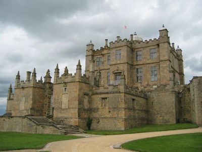
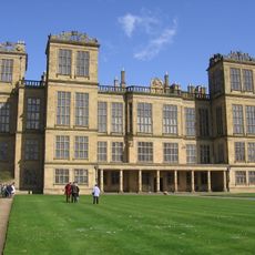
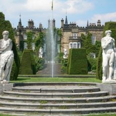
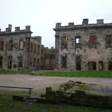
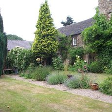
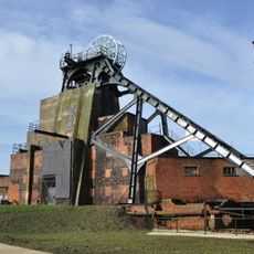
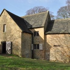
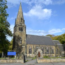
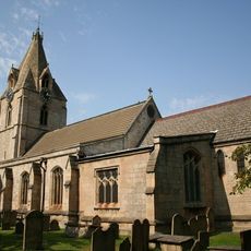
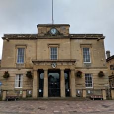
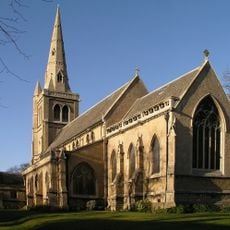
Bolsover, local government district in Derbyshire, England
Posizione: Derbyshire
Inizio: 1 aprile 1974
Capitale: Clowne
Confina con: Chesterfield, North East Derbyshire, Amber Valley
Sito web: http://bolsover.gov.uk
Coordinate GPS: 53.25000,-1.26000
Ultimo aggiornamento: 4 marzo 2025 alle 06:08
Hardwick Hall
9.6 km
Creswell Crags
4.3 km
Renishaw Hall
8.2 km
Sutton Scarsdale Hall
6.6 km
Carnfield Hall
18.1 km
Pleasley Colliery
8.5 km
Stainsby Mill
8.5 km
Church of St John the Baptist, Ault Hucknall
8.1 km
Palace Theatre
12.4 km
Teversal Manor
11.1 km
Sherwood Observatory
15.3 km
St Winifred's Church, Holbeck
5.2 km
St. Peter and St. Paul's Church, Mansfield
12.7 km
Church of the Immaculate Conception, Spinkhill
7.1 km
Church of St Edmund
10.6 km
Mansfield Museum
12.4 km
Mansfield Old Town Hall
12.5 km
Church of the Holy Trinity
6.1 km
St. John's Church, Mansfield
12.1 km
Church of St Chad, Pleasley Vale
8.4 km
St. Wilfrid's Church, Kirkby-in-Ashfield
17 km
St. Katherine's Church
11 km
Church of St Philip Neri and Attached Presbytery
12 km
St Leonard's Church, Scarcliffe
4.1 km
Church of St. Mary Magdalene, Sutton-in-Ashfield
13.9 km
St. Andrew's Church, Skegby
11.8 km
St. Mark's Church, Mansfield
13.1 km
Church of St Lawrence
5.1 kmHa visitato questo luogo? Tocchi le stelle per valutarlo e condividere la Sua esperienza o foto con la community! Provalo ora! Puoi annullarlo in qualsiasi momento.
Scopri tesori nascosti ad ogni viaggio!
Da piccoli caffè caratteristici a panorami nascosti, fuggi dalla folla e scova i posti che fanno davvero per te. La nostra app ti semplifica tutto: ricerca vocale, filtri furbi, percorsi ottimizzati e dritte autentiche da viaggiatori di tutto il mondo. Scaricala subito per vivere l'avventura sul tuo smartphone!
Un nuovo approccio alla scoperta turistica❞
— Le Figaro
Tutti i luoghi che meritano di essere esplorati❞
— France Info
Un’escursione su misura in pochi clic❞
— 20 Minutes