
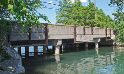
East River Road–North Hickory Canal Bridge
East River Road–North Hickory Canal Bridge, place in Michigan listed on National Register of Historic Places
Posizione: Wayne County
Inizio: 1945
Coordinate GPS: 42.09611,-83.15056
Ultimo aggiornamento: 28 novembre 2025 alle 15:29
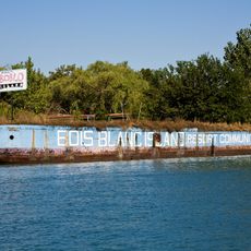
Boblo Island Amusement Park
2.7 km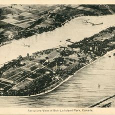
Bois Blanc Island
2.5 km
Grosse Ile
3.9 km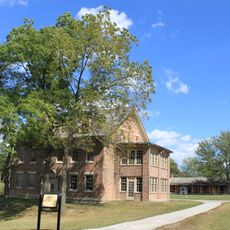
Fort Malden
3.3 km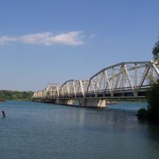
Grosse Ile Toll Bridge
8.5 km
Lake Erie Metropark
5.7 km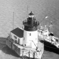
Detroit River Light
10.6 km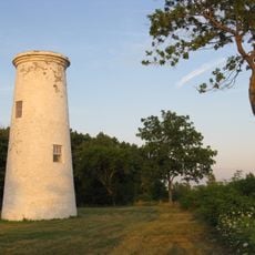
Bois Blanc Island Lighthouse and Blockhouse
2.7 km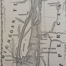
Fort Amherstburg
3.3 km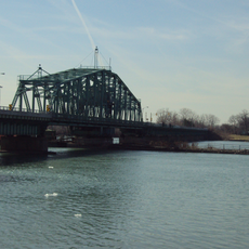
Wayne County Bridge
4.1 km
Sugar Island
742 m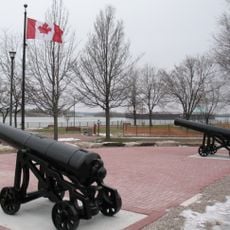
Amherstburg Royal Naval Dockyard
3.1 km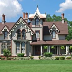
East River Road Historic District
3.4 km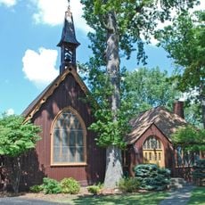
St. James Episcopal Church
3.3 km
Jefferson Avenue–Huron River and Harbin Drive–Silver Creek Canal Bridges
8 km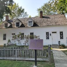
Park House Museum
3.2 km
Calf Island
2.5 km
Gibraltar Road–Waterway Canal Bridge
3.3 km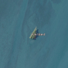
Fox Island
1.3 km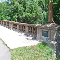
Parke Lane Road–Thorofare Canal Bridge
8 km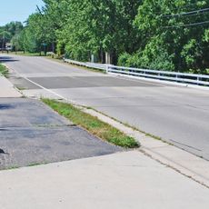
South Pointe Drive–Frenchman's Creek Bridge
1.9 km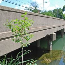
Ferry Street–Thorofare Canal Bridge
4.7 km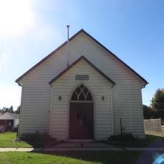
Amherstburg First Baptist Church
3.8 km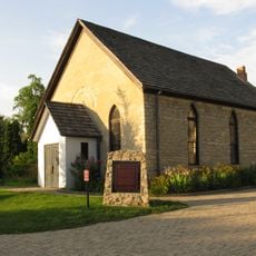
Nazrey African Methodist Episcopal Church
3.7 km
Bois Blanc Island Lighthouse
2.8 km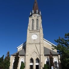
St. John the Baptist Church
3.9 km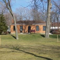
Commissariat Office
3.1 km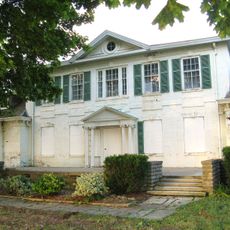
Belle Vue
3.1 kmRecensioni
Ha visitato questo luogo? Tocchi le stelle per valutarlo e condividere la Sua esperienza o foto con la community! Provalo ora! Puoi annullarlo in qualsiasi momento.
Scopri tesori nascosti ad ogni viaggio!
Da piccoli caffè caratteristici a panorami nascosti, fuggi dalla folla e scova i posti che fanno davvero per te. La nostra app ti semplifica tutto: ricerca vocale, filtri furbi, percorsi ottimizzati e dritte autentiche da viaggiatori di tutto il mondo. Scaricala subito per vivere l'avventura sul tuo smartphone!

Un nuovo approccio alla scoperta turistica❞
— Le Figaro
Tutti i luoghi che meritano di essere esplorati❞
— France Info
Un’escursione su misura in pochi clic❞
— 20 Minutes