Parco reale di Studley, Giardino inglese a Ripon, Regno Unito.
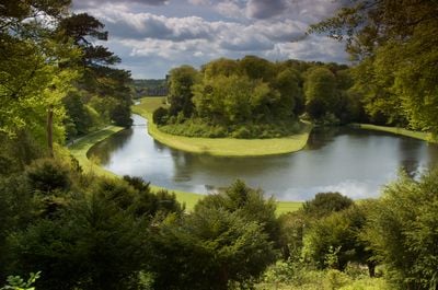
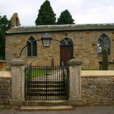
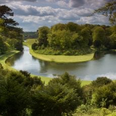
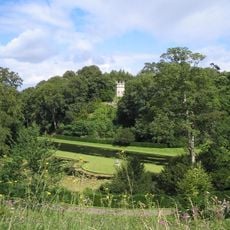
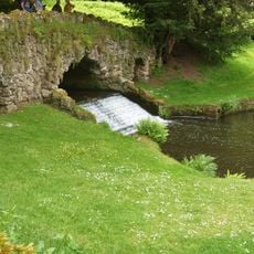
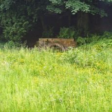
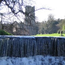
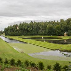
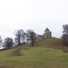
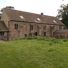
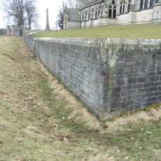
Studley Royal Park è un grande giardino vicino a Ripon composto da laghi, strutture in pietra e sentieri fiancheggiati da alberi nel paesaggio collinare dello Yorkshire. Il terreno si estende attraverso valli e pendii, collegandosi alle antiche rovine di un'abbazia vicina.
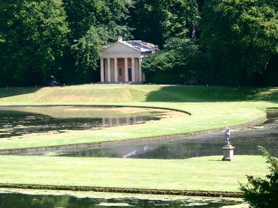
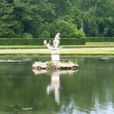
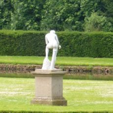
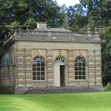
Il terreno è stato trasformato nel 18° secolo da John Aislabie, che creò un nuovo layout del giardino che in seguito si collegò alle rovine medievali di un'abbazia vicina. Questi due progetti, inizialmente separati, alla fine si sono riuniti come destinazione unica.
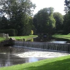
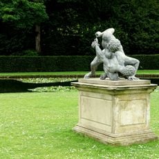
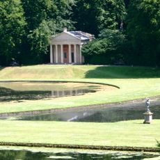
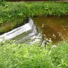
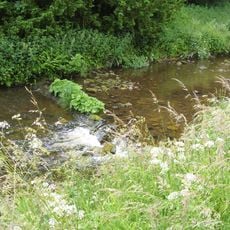
Lo spazio mostra come l'acqua e il verde diventano arte quando organizzati con cura e proposito. Camminando si nota come i laghi, i canali e gli alberi sono disposti intenzionalmente per creare un paesaggio espressivo.
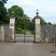
La visita funziona meglio con scarpe comode, poiché i sentieri sono collinari e possono essere fangosi, specialmente dopo la pioggia. Ci sono diversi punti di accesso e dovrai dedicare tempo per esplorare sia il layout del giardino che le rovine dell'abbazia senza fretta.
Nella sezione del parco dei cervi, animali selvatici come cervi e fagiani vagano liberamente sul terreno come parte del design originale. Queste creature aggiungono un elemento vivente che cambia costantemente con le stagioni e l'ora del giorno.
La comunità dei viaggiatori curiosi
AroundUs riunisce migliaia di luoghi selezionati, consigli locali e gemme nascoste, arricchiti ogni giorno da oltre 60,000 contributori in tutto il mondo.