
Taylor, comune statunitense del Nebraska
Posizione: Loup County
Altezza sopra il mare: 691 m
Coordinate GPS: 41.76944,-99.38056
Ultimo aggiornamento: 5 marzo 2025 alle 00:17
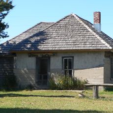
Dowse Sod House
30.4 km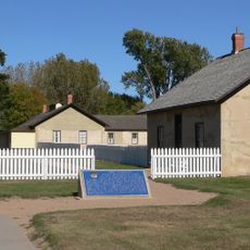
Fort Hartsuff State Historical Park
30.1 km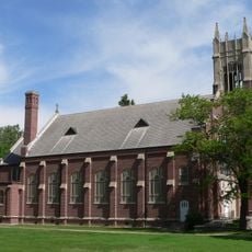
St. Anselm's Catholic Church, Rectory and Parish Hall
43.8 km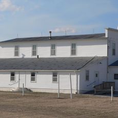
Rad Slavin cis. 112 Z.C.B.J. Hall
25.8 km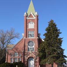
Church of the Visitation of the Blessed Virgin Mary
80.6 km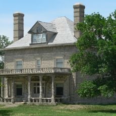
A.T. Ranch Headquarters
75.7 km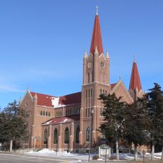
St. Michael's Catholic Church Complex
85 km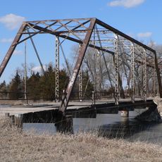
Sargent Bridge
15.9 km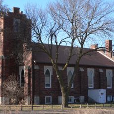
St. Peder's Dansk Evangelical Lutheran Kirke
95.3 km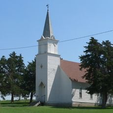
Dannevirke Danish Lutheran Church and Community Hall
75 km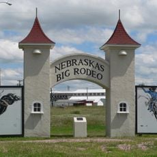
Garfield County Frontier Fairgrounds
21.4 km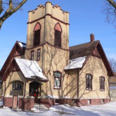
First Presbyterian Church
85.4 km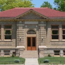
Loup City Township Carnegie Library
64.9 km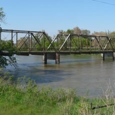
North Loup Bridge
59.8 km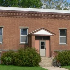
Burwell Carnegie Library
20.6 km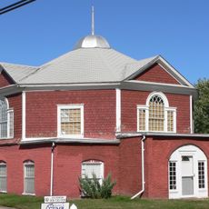
People's Unitarian Church
41.9 km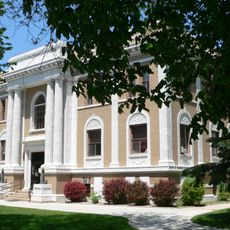
Sherman County Courthouse
65 km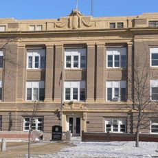
Greeley County Courthouse
74.9 km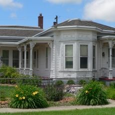
Brantly Sturdevant House
90.8 km
Former Wheeler County Courthouse
69.9 km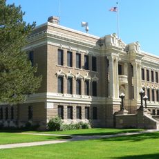
Valley County Courthouse
42 km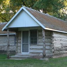
Custer County Courthouse
69.7 km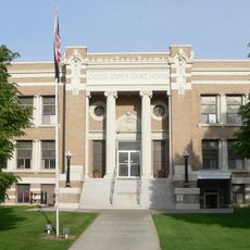
Custer County Courthouse
46.3 km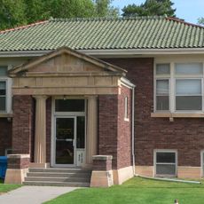
Brenizer Library
44.8 km
Rock County Courthouse
91.4 km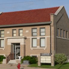
Broken Bow Carnegie Library
46.2 km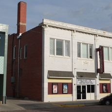
Tiffany Theater
46.2 km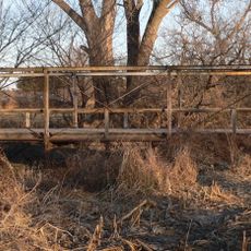
Sweetwater Mill Bridge
86.9 kmRecensioni
Ha visitato questo luogo? Tocchi le stelle per valutarlo e condividere la Sua esperienza o foto con la community! Provalo ora! Puoi annullarlo in qualsiasi momento.
Scopri tesori nascosti ad ogni viaggio!
Da piccoli caffè caratteristici a panorami nascosti, fuggi dalla folla e scova i posti che fanno davvero per te. La nostra app ti semplifica tutto: ricerca vocale, filtri furbi, percorsi ottimizzati e dritte autentiche da viaggiatori di tutto il mondo. Scaricala subito per vivere l'avventura sul tuo smartphone!

Un nuovo approccio alla scoperta turistica❞
— Le Figaro
Tutti i luoghi che meritano di essere esplorati❞
— France Info
Un’escursione su misura in pochi clic❞
— 20 Minutes