
Westendorf, comune tedesco
Posizione: Ostallgäu
Altezza sopra il mare: 688 m
Parte di: Verwaltungsgemeinschaft Westendorf
Sito web: https://gemeinde-westendorf.de
Coordinate GPS: 47.93333,10.71667
Ultimo aggiornamento: 7 marzo 2025 alle 06:26

Pfarrhof
613 m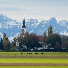
Pfarrkirche St. Michael
763 m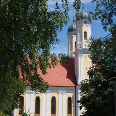
St. Wendelin (Obergermaringen)
3.8 km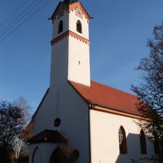
Filialkirche St. Philippus und Jakobus
2.6 km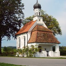
Dreifaltigkeitskapelle
1.6 km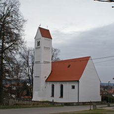
Filialkirche St. Martin
3.5 km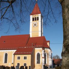
Pfarrkirche St. Peter und Paul
1.4 km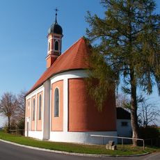
St. Antonius
1.9 km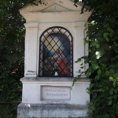
Rosenkranzbildstöcke Georgibergstraße
2.8 km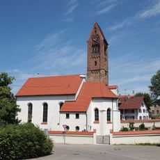
St. Michael (Obergermaringen)
3.4 km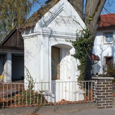
Wegkapelle
3.1 km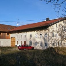
Bauernhaus
2.6 km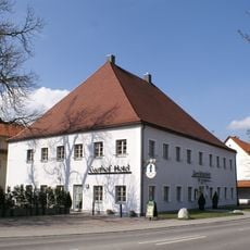
Gasthaus
3.8 km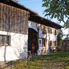
Bauernhaus
2.5 km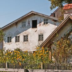
Bauernhaus
680 m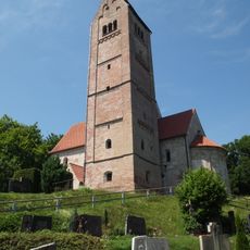
St. Georg
2.7 km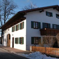
Bauernhaus
1.7 km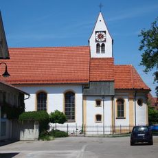
St. Johannes
3 km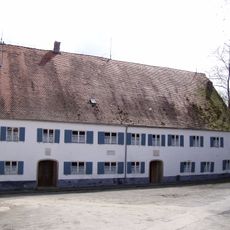
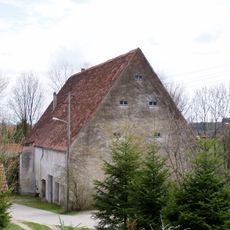
Mühle
1.8 km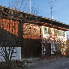
Ehem. Bauernhaus
2.7 km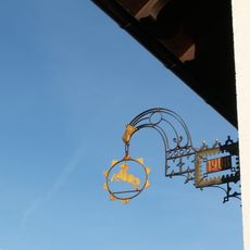
Neugotischer Ausleger
2.6 km
Bauernhaus
3.5 km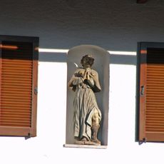
Hausfigur
2.6 km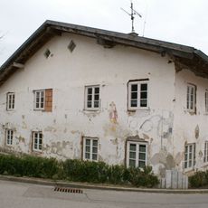
Bauernhaus
3.7 km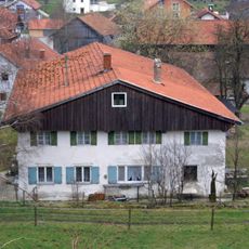
Bauernhaus
3.6 km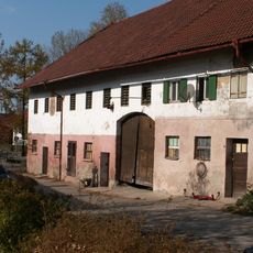
Gasthaus
233 m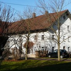
Bauernhaus
3.1 km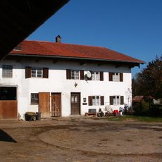
Bauernhaus Espachweg 26 in Westendorf
1.8 kmRecensioni
Ha visitato questo luogo? Tocchi le stelle per valutarlo e condividere la Sua esperienza o foto con la community! Provalo ora! Puoi annullarlo in qualsiasi momento.
Scopri tesori nascosti ad ogni viaggio!
Da piccoli caffè caratteristici a panorami nascosti, fuggi dalla folla e scova i posti che fanno davvero per te. La nostra app ti semplifica tutto: ricerca vocale, filtri furbi, percorsi ottimizzati e dritte autentiche da viaggiatori di tutto il mondo. Scaricala subito per vivere l'avventura sul tuo smartphone!

Un nuovo approccio alla scoperta turistica❞
— Le Figaro
Tutti i luoghi che meritano di essere esplorati❞
— France Info
Un’escursione su misura in pochi clic❞
— 20 Minutes