
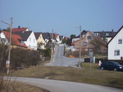
Brandlberg-Keilberg, human settlement
Posizione: Regensburg
Coordinate GPS: 49.03890,12.15000
Ultimo aggiornamento: 7 marzo 2025 alle 06:31
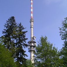
Hohe Linie transmitter
1.6 km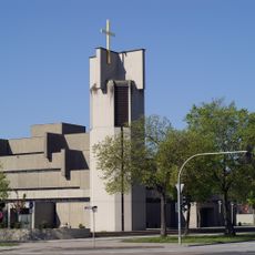
Heilig-Geist-Kirche
2.1 km
Am Keilstein
1.1 km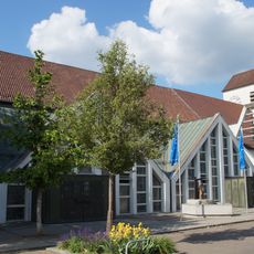
St. Konrad
1.7 km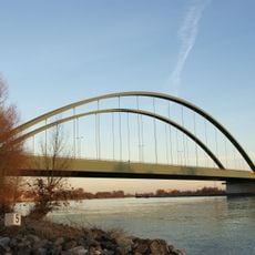
Schwabelweis road bridge
1.9 km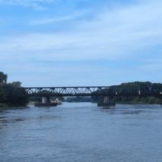
Schwabelweis railway bridge
2.1 km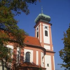
St. Georg
1.8 km
Brandlberg
775 m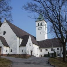
St. Michael
938 m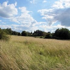
Südöstliche Juraausläufer bei Regensburg
390 m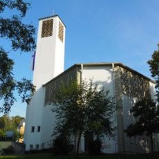
St. Lukas
2.5 km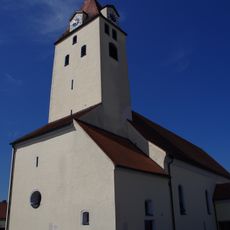
Katholische Pfarrkirche Maria Verkündigung (Tegernheim)
2.8 km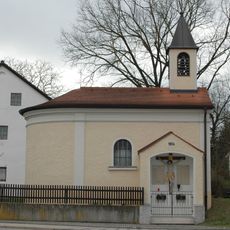
St. Maria
2.3 km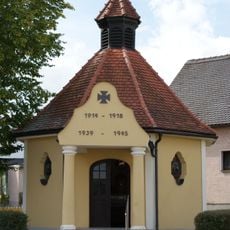
Kriegergedächtniskapelle
1.9 km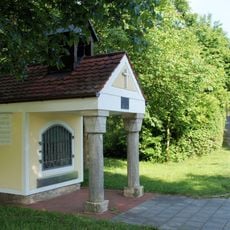
Kapellenausstattung in der erneuerten Wegkapelle
1.4 km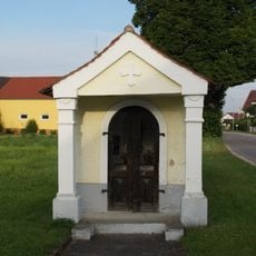
Wegkapelle
3 km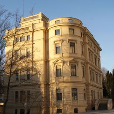
Direktionsvilla der Kalkfabrik Funk
1.3 km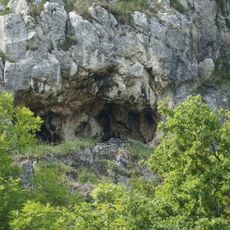
Höhle am Keilstein NE von Schwabelweis
1.2 km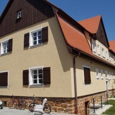
Mehrfamilienwohnhaus für die städtische Kleinsiedlung Schwabelweis
1.8 km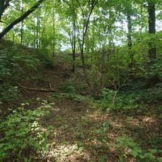
Große Doline Schauergrube W von Vorderkeilberg
215 m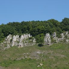
Felshänge an der Südseite des Keilberges NE von Regensburg
1.1 km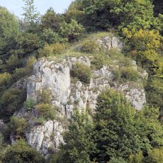
Felsgruppe am SW-Teil des Keilbergs N von Schwabelweis
1.1 km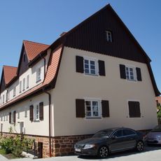
Mehrfamilienwohnhaus für die städtische Kleinsiedlung Schwabelweis
1.8 km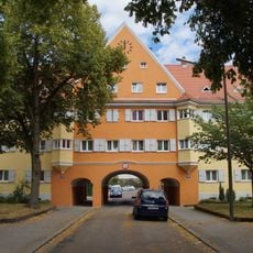
Ensemble Wohnsiedlung Arberstraße
3 km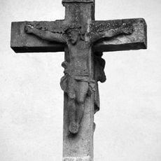
Wegkreuz
3 km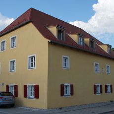
Ehemaliges Bauernhaus
2 km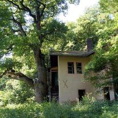
Ehemaliges Wirtshaus
1.5 km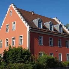
Wohnhaus eines ehemaligen Ökonomiehofes
3 kmRecensioni
Ha visitato questo luogo? Tocchi le stelle per valutarlo e condividere la Sua esperienza o foto con la community! Provalo ora! Puoi annullarlo in qualsiasi momento.
Scopri tesori nascosti ad ogni viaggio!
Da piccoli caffè caratteristici a panorami nascosti, fuggi dalla folla e scova i posti che fanno davvero per te. La nostra app ti semplifica tutto: ricerca vocale, filtri furbi, percorsi ottimizzati e dritte autentiche da viaggiatori di tutto il mondo. Scaricala subito per vivere l'avventura sul tuo smartphone!

Un nuovo approccio alla scoperta turistica❞
— Le Figaro
Tutti i luoghi che meritano di essere esplorati❞
— France Info
Un’escursione su misura in pochi clic❞
— 20 Minutes