
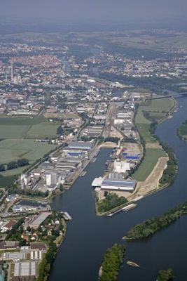
Ostenviertel, human settlement in Germany
Posizione: Regensburg
Coordinate GPS: 49.01720,12.12500
Ultimo aggiornamento: 7 marzo 2025 alle 06:43
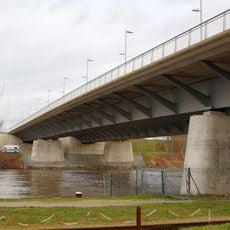
Ponte dei Nibelunghi
987 m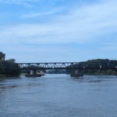
Schwabelweis railway bridge
913 m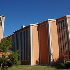
Mater Dolorosa Church
878 m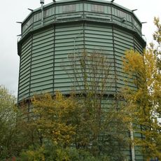
Städtisches Gaswerk Regensburg
568 m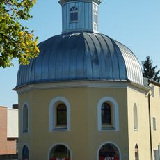
Ehemalige Siechenkapelle Alt-St. Niklas
611 m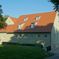
Former Pestinhof and hospital of the imperial city
827 m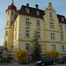
Fabrikantenvilla
893 m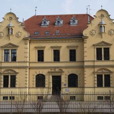
Villa
999 m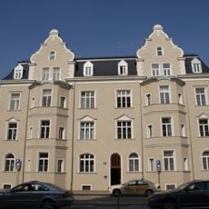
Mietshaus
883 m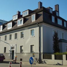
Ehemaliges Zollamt des Luitpoldhafens
291 m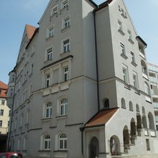
Mietshaus
948 m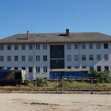
Ehemaliges Verwaltungsgebäude der Donau-Dampf-Schiffahrts-Gesellschaft
600 m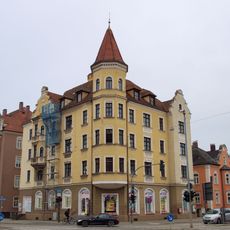
Wohn- und Geschäftshaus
943 m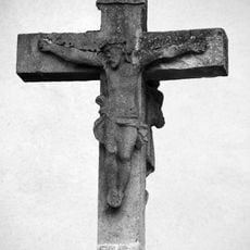
Wegkreuz
815 m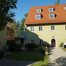
Former Pestinhof and hospital
817 m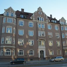
Mietshaus
907 m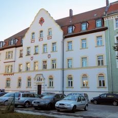
Wohnhaus und ehemalige Landwirtschaftsschule
860 m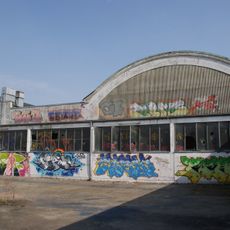
Städtischer Schlachthof Regensburg
578 m
Bruderwöhrdstraße 15b
830 m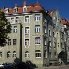
Mietshaus
869 m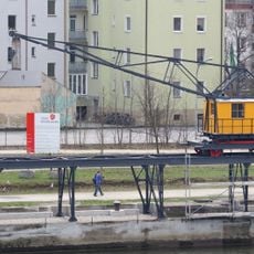
Krananlage
994 m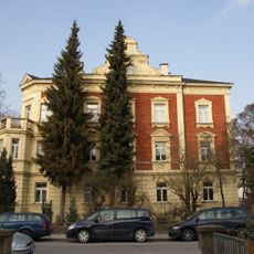
Wohnhaus
938 m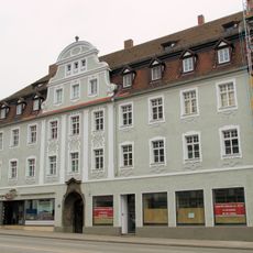
Wohnhaus
921 m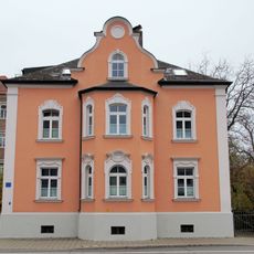
Wohnhaus
943 m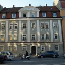
Wohnhaus
961 m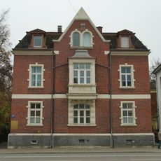
Wohnhaus
969 m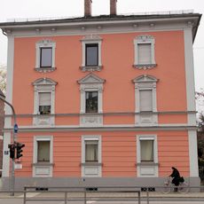
Wohnhaus
979 m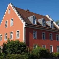
Wohnhaus eines ehemaligen Ökonomiehofes
856 mRecensioni
Ha visitato questo luogo? Tocchi le stelle per valutarlo e condividere la Sua esperienza o foto con la community! Provalo ora! Puoi annullarlo in qualsiasi momento.
Scopri tesori nascosti ad ogni viaggio!
Da piccoli caffè caratteristici a panorami nascosti, fuggi dalla folla e scova i posti che fanno davvero per te. La nostra app ti semplifica tutto: ricerca vocale, filtri furbi, percorsi ottimizzati e dritte autentiche da viaggiatori di tutto il mondo. Scaricala subito per vivere l'avventura sul tuo smartphone!

Un nuovo approccio alla scoperta turistica❞
— Le Figaro
Tutti i luoghi che meritano di essere esplorati❞
— France Info
Un’escursione su misura in pochi clic❞
— 20 Minutes