
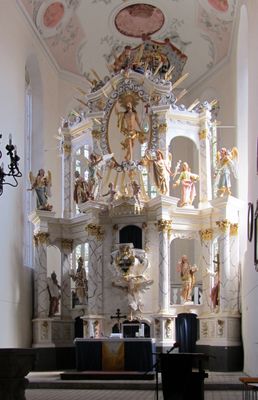
Stadtkirche Buttstädt, church building in Buttstädt, Germany
Posizione: Buttstädt
Coordinate GPS: 51.12102,11.41626
Ultimo aggiornamento: 3 marzo 2025 alle 00:17

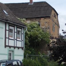
Raspehaus
6 km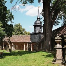
Camposanto Buttstädt
335 m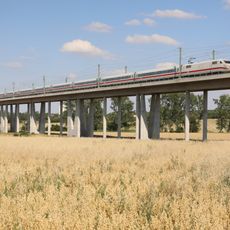
Gänsebachtalbrücke
1.1 km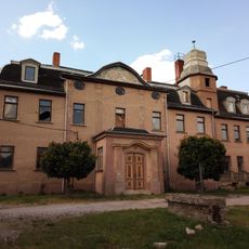
Schloss Rohrbach
6.1 km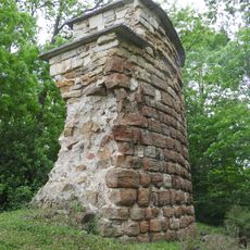
Burgruine Teutleben
2.7 km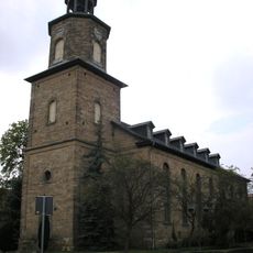
Stadtkirche Unserer Lieben Frauen
6.1 km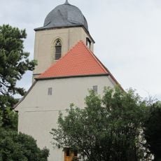
St. Johannis
6.2 km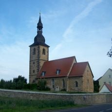
Dorfkirche Oberreißen
4 km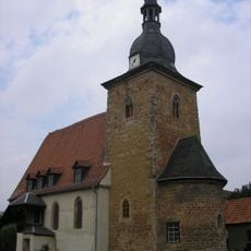
Kirche Teutleben
2.9 km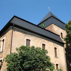
Protestant Church (Nermsdorf)
5.2 km
Schloss Hardisleben
3.7 km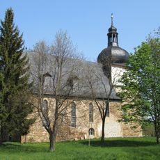
St. Trinitatis (Guthmannshausen)
3.6 km
St. Trinitatis (Herrengosserstedt)
4.7 km
St. Johannes Baptista (Hardisleben)
3.7 km
Protestant Church Rudersdorf
3.2 km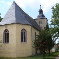
St. Vigberti (Olbersleben)
6.2 km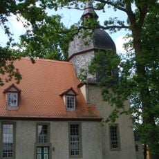
Protestant Church Niederreißen
2.5 km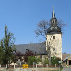
Protestant Church Mannstedt
2.5 km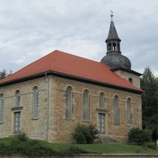
Protestant Church Nirmsorf
4.7 km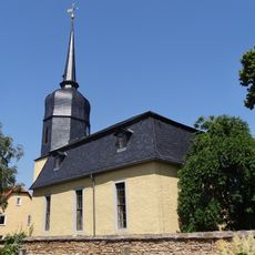
Protestant Church (Rohrbach)
6.1 km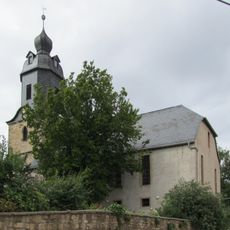
St. Alban (Willerstedt)
4.3 km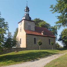
Protestant Church Tromsdorf
4.4 km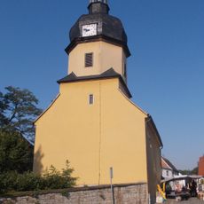
St. Nicolaus (Tromsdorf)
4.6 km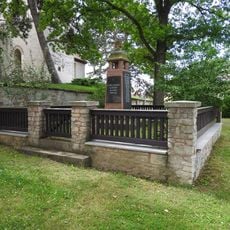
War memorial Gebstedt
6.2 km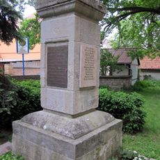
War memorial Nermsdorf
5.2 km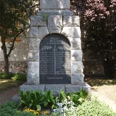
War memorial Mannstedt
2.5 km
War memorial Buttstädt
367 m
War memorial in Rohrbach (Landkreis Weimarer Land)
6.1 kmRecensioni
Ha visitato questo luogo? Tocchi le stelle per valutarlo e condividere la Sua esperienza o foto con la community! Provalo ora! Puoi annullarlo in qualsiasi momento.
Scopri tesori nascosti ad ogni viaggio!
Da piccoli caffè caratteristici a panorami nascosti, fuggi dalla folla e scova i posti che fanno davvero per te. La nostra app ti semplifica tutto: ricerca vocale, filtri furbi, percorsi ottimizzati e dritte autentiche da viaggiatori di tutto il mondo. Scaricala subito per vivere l'avventura sul tuo smartphone!

Un nuovo approccio alla scoperta turistica❞
— Le Figaro
Tutti i luoghi che meritano di essere esplorati❞
— France Info
Un’escursione su misura in pochi clic❞
— 20 Minutes