
Bauernhaus, building in Regen, Lower Bavaria, Germany
Posizione: Regen
Indirizzo: Hauptstraße 23a
Coordinate GPS: 48.97724,13.06769
Ultimo aggiornamento: 4 luglio 2025 alle 00:14
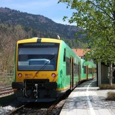
Bavarian Forest Railway
2.4 km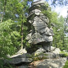
Teufelstisch
5 km
Stadtpfarrkirche St. Michael (Regen)
4.5 km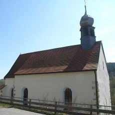
Sankt Johann in Regen
3.5 km
Heilig-Geist-Kirche
4.5 km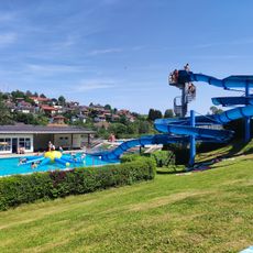
Freibad Regen
3.6 km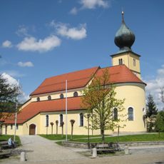
Sankt Laurentius in Ruhmannsfelden
6.1 km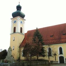
St. Petrus und Paulus (March)
193 m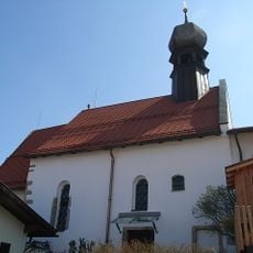
Heilig-Geist-Spitalkirche in Regen
4.5 km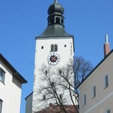
Katholische Stadtpfarrkirche St. Michael
4.5 km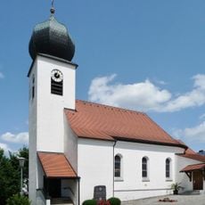
Herz Jesu
5.7 km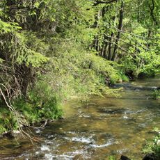
Ruhmannsfeldener Leite
5.8 km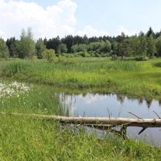
Stockwiesen bei Schollenried
4.6 km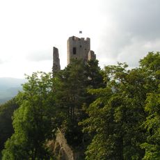
Pfahl bei der Ruine Weißenstein
6 km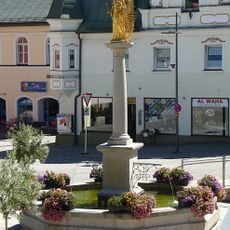
Mariensäule
4.4 km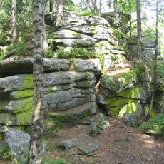
Gipfelgrat des Teufelstischs NW von Bischofsmais
5 km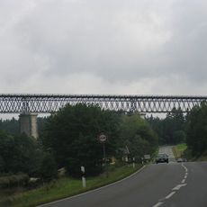
Eisenbahnbrücke
3 km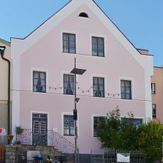
Wohnhaus
4.4 km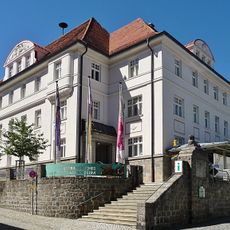
Niederbayerisches Landwirtschaftsmuseum
4.3 km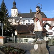
Steinstandbild St. Johann v. Nepomuk
4.5 km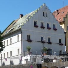
Verkehrsamt
4.3 km
Stadtplatz 7
4.3 km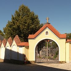
Friedhof
4.5 km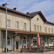
Station building at Regen station
5.1 km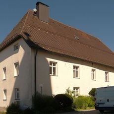
Pfarrhof
4.5 km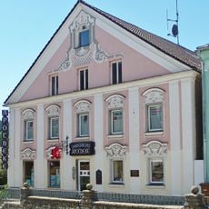
Apotheke
4.4 km
Gedeckte Steintreppe
4.4 km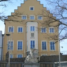
Rathaus
4.3 kmRecensioni
Ha visitato questo luogo? Tocchi le stelle per valutarlo e condividere la Sua esperienza o foto con la community! Provalo ora! Puoi annullarlo in qualsiasi momento.
Scopri tesori nascosti ad ogni viaggio!
Da piccoli caffè caratteristici a panorami nascosti, fuggi dalla folla e scova i posti che fanno davvero per te. La nostra app ti semplifica tutto: ricerca vocale, filtri furbi, percorsi ottimizzati e dritte autentiche da viaggiatori di tutto il mondo. Scaricala subito per vivere l'avventura sul tuo smartphone!

Un nuovo approccio alla scoperta turistica❞
— Le Figaro
Tutti i luoghi che meritano di essere esplorati❞
— France Info
Un’escursione su misura in pochi clic❞
— 20 Minutes