
Granitfelsgruppe SSW von Luckstein, Geotop in Landkreis Cham in Bavaria, Germany
Posizione: Wald
Altezza sopra il mare: 580 m
Lunghezza: 5 m
Larghezza: 4 m
Sito web: http://www.umweltatlas.bayern.de/mapapps/resources/reports/geotope/generateBericht.pdf?additionallayerfieldvalue=372R021
Coordinate GPS: 49.12759,12.32978
Ultimo aggiornamento: 19 aprile 2025 alle 13:05
Burgruine Lobenstein
6.1 km
Burg Siegenstein
4.3 km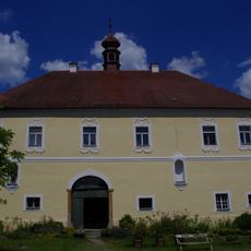
Schloss Hauzendorf
4.8 km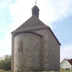
St. Ägidius
3.9 km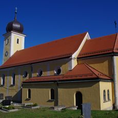
St. Laurentius
2.9 km
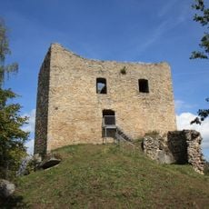
Burg Adlmannstein
5.8 km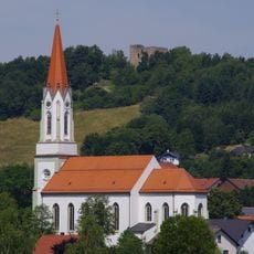
Mariä Himmelfahrt
6.3 km
Schloss Wulkersdorf
3.8 km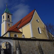
St. Jakobus Maior
3.4 km
Ehemaliger Pfarrhof
4.2 km
St. Leonhard
3.8 km
St. Nikolaus
4.2 km
St. Martin
6.5 km
Katholische Filialkirche St. Peter
6.2 km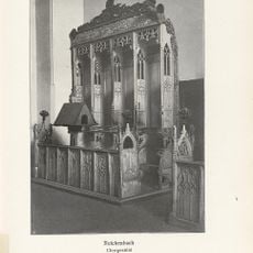
Chorgestühl
6.3 km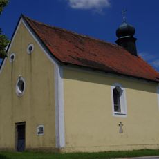
St. Leonhard
6.4 km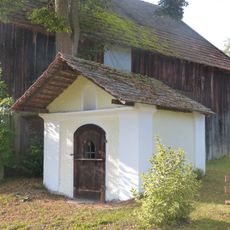
Wegkapelle
4.9 km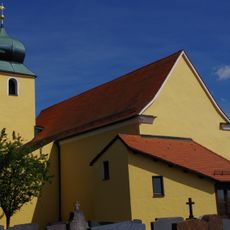
St. Lambert
3.8 km
St. Johannes, Lichtenberg, Bernhardswald
6.5 km
Oberer Bayerischer Wald (2)
4.7 km
Gasthaus
4.2 km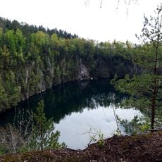
Ehemaliger Granitbruch NE von Gumping
3.4 km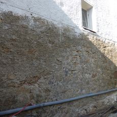
Burg Adlmannstein
5.8 km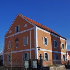
Figurengruppe am Pfarrhof
2.9 km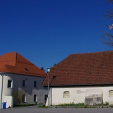
Ehemaliges Neues Schloss, jetzt Brauereigasthof
6.2 km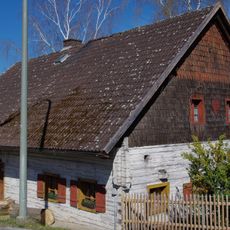
Ehemalige Schmiede
6 km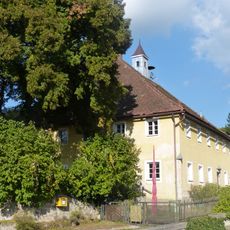
Ehemalige Schlosswirtschaft
5.7 km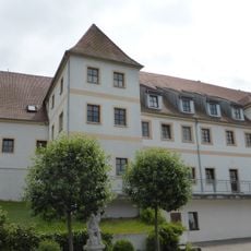
Sogenanntes Pestenhofer Haus, ehemaliger Wohnstallbau
6.5 kmRecensioni
Ha visitato questo luogo? Tocchi le stelle per valutarlo e condividere la Sua esperienza o foto con la community! Provalo ora! Puoi annullarlo in qualsiasi momento.
Scopri tesori nascosti ad ogni viaggio!
Da piccoli caffè caratteristici a panorami nascosti, fuggi dalla folla e scova i posti che fanno davvero per te. La nostra app ti semplifica tutto: ricerca vocale, filtri furbi, percorsi ottimizzati e dritte autentiche da viaggiatori di tutto il mondo. Scaricala subito per vivere l'avventura sul tuo smartphone!

Un nuovo approccio alla scoperta turistica❞
— Le Figaro
Tutti i luoghi che meritano di essere esplorati❞
— France Info
Un’escursione su misura in pochi clic❞
— 20 Minutes