
Granitfelsen am Gemeindeberg SW von Schergendorf, Geotop in Landkreis Cham in Bavaria, Germany
Posizione: Falkenstein
Altezza sopra il mare: 605 m
Lunghezza: 8 m
Larghezza: 8 m
Sito web: http://www.umweltatlas.bayern.de/mapapps/resources/reports/geotope/generateBericht.pdf?additionallayerfieldvalue=372R023
Coordinate GPS: 49.09475,12.43815
Ultimo aggiornamento: 20 marzo 2025 alle 11:47
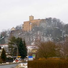
Burg Falkenstein
3.4 km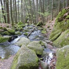
Hölle
755 m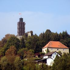
Burg Brennberg
3.8 km
Tannerl
2.3 km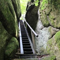
Schlosspark Falkenstein
3.5 km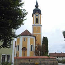
St. Laurentius
3.1 km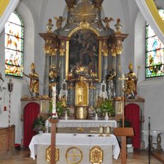
Sankt Rupert
4 km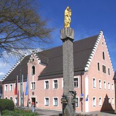
Rathaus, ehemaliges Pflegamt
3.5 km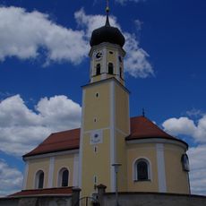
St. Martin
3.3 km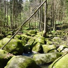
Blockmeer im NSG "Hölle" NW von Postfelden
1.4 km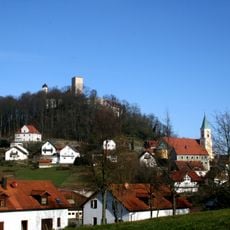
Katholische Marktkirche St. Sebastian
3.4 km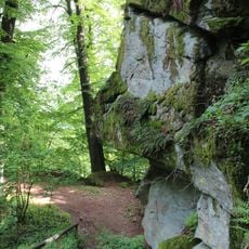
Burgberg Falkenstein
3.4 km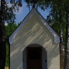
Hofkapelle St. Maria
2.7 km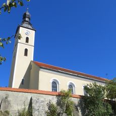
Katholische Pfarrkirche St. Rupert
4 km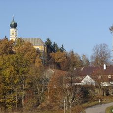
Church of St. Peter and Paul
3.5 km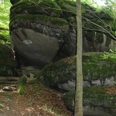
Froschmaul am Burgberg Falkenstein
3.3 km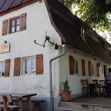
Gasthaus
3.4 km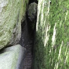
Herzbeutelgässchen am Burgberg NW von Falkenstein
3.3 km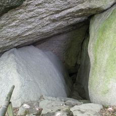
Hohler Stein am Burgberg NW von Falkenstein
3.3 km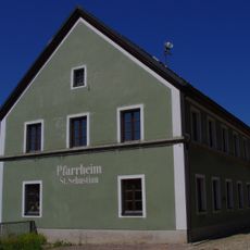
Ehemaliges Schulhaus
3.4 km
Gasthof
3.5 km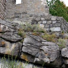
Burgberg bei Brennberg
3.8 km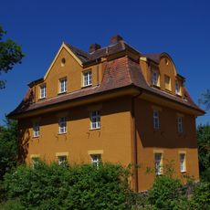
Wohnhaus für Bahnbedienstete
3.8 km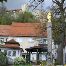
Marienfigur
3.5 km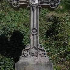
Wegkreuz
3.3 km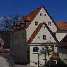
Wohnhaus
3.5 km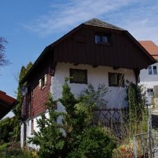
Wohnhaus
3.3 km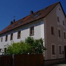
Wohnhaus
3.4 kmRecensioni
Ha visitato questo luogo? Tocchi le stelle per valutarlo e condividere la Sua esperienza o foto con la community! Provalo ora! Puoi annullarlo in qualsiasi momento.
Scopri tesori nascosti ad ogni viaggio!
Da piccoli caffè caratteristici a panorami nascosti, fuggi dalla folla e scova i posti che fanno davvero per te. La nostra app ti semplifica tutto: ricerca vocale, filtri furbi, percorsi ottimizzati e dritte autentiche da viaggiatori di tutto il mondo. Scaricala subito per vivere l'avventura sul tuo smartphone!

Un nuovo approccio alla scoperta turistica❞
— Le Figaro
Tutti i luoghi che meritano di essere esplorati❞
— France Info
Un’escursione su misura in pochi clic❞
— 20 Minutes