
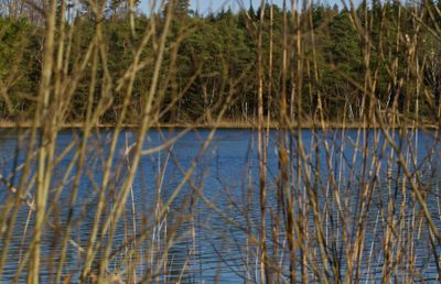
Schutz von Landschaftsteilen um den Staudhamer See in den Gemeinden Steppach, Soyen, Attel und Edling
Schutz von Landschaftsteilen um den Staudhamer See in den Gemeinden Steppach, Soyen, Attel und Edling, protected landscape in Bavaria, Germany
Posizione: Rosenheim
Inizio: 1969
Coordinate GPS: 48.07194,12.17625
Ultimo aggiornamento: 11 marzo 2025 alle 03:04
Hesse-Schlössl
3.1 km
Kapuzinerinsel
3.9 km
Schloss Brandstätt
3.7 km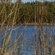
Hochmoor am Kesselsee
302 m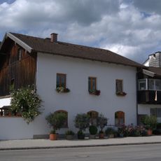
Wohnhaus
3.9 km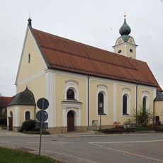
St. Cyriakus
2 km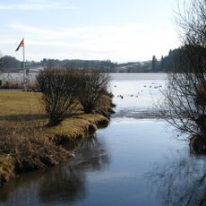
Schutz des Soyensees und seiner Umgebung
4.1 km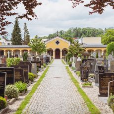
Friedhofskirche Im Hag 7 in Wasserburg am Inn
4.1 km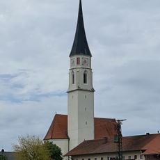
Mariä Himmelfahrt
3.1 km
Wohnhaus
3.9 km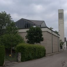
Katholische Stadtpfarrkirche St. Konrad
3.9 km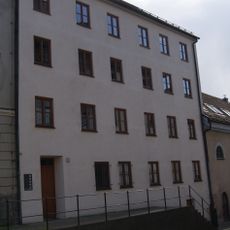
Wohnhaus
4 km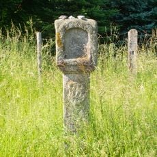
Bildstock
2.6 km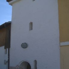
Ehemaliger Verteidigungsturm der Stadt, nach 1860 Pulverturm,
3.7 km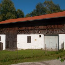
Bundwerkstadel
3 km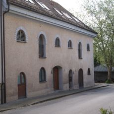
Ehemaliges Speichergebäude
4 km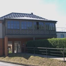
Rottmoser Keller
3.7 km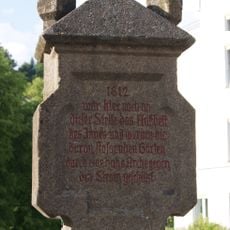
Gedenkstein
4 km
Wohnhaus der ehemaligen Knoppermühle
3.9 km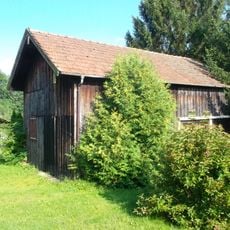
Blockbau-Obergeschoss eines ehemaligen Einfirsthofes
3.1 km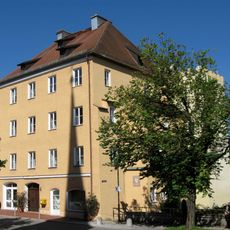
Wohnhaus, sogenanntes Noder´sches Haus
4.1 km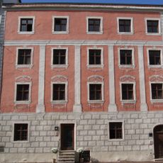
Ehemaliges Dechanthaus
4.1 km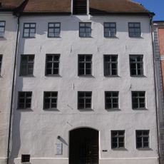
Ehemaliges Rentamt, dann Bezirksamt, jetzt Vermessungsamt
4 km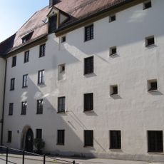
Ehemaliges Richter- und Pflegerhaus, Seit dem frühen 19. Jahrhundert Gefängnis
4 km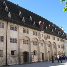
Auf der Burg 9
4.1 km
Wohnhaus
4 km
Ehemaliges Amtsgebäude
4 km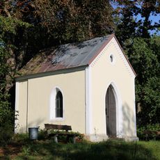
Wegkapelle am Hochhauser Weiher
1.6 kmRecensioni
Ha visitato questo luogo? Tocchi le stelle per valutarlo e condividere la Sua esperienza o foto con la community! Provalo ora! Puoi annullarlo in qualsiasi momento.
Scopri tesori nascosti ad ogni viaggio!
Da piccoli caffè caratteristici a panorami nascosti, fuggi dalla folla e scova i posti che fanno davvero per te. La nostra app ti semplifica tutto: ricerca vocale, filtri furbi, percorsi ottimizzati e dritte autentiche da viaggiatori di tutto il mondo. Scaricala subito per vivere l'avventura sul tuo smartphone!

Un nuovo approccio alla scoperta turistica❞
— Le Figaro
Tutti i luoghi che meritano di essere esplorati❞
— France Info
Un’escursione su misura in pochi clic❞
— 20 Minutes