
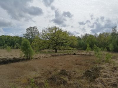
NSG Hechtmoor, protected area in the European Union defined by the habitats directive in Schleswig-Holstein, Germany
Posizione: Mittelangeln
Inizio: 1999
Coordinate GPS: 54.66332,9.59202
Ultimo aggiornamento: 6 marzo 2025 alle 16:59
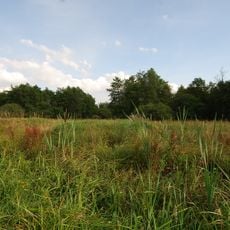
Fröruper Berge
9 km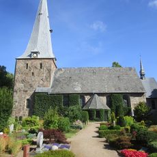
St. Marienkirche
7.6 km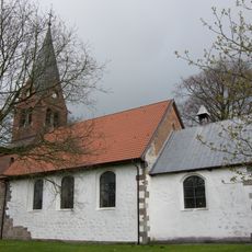
St. Laurentiuskirche
3.3 km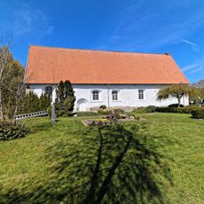
Fahrenstedt Church
6.6 km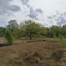
Hechtmoor
168 m
Struxdorf Church
4.6 km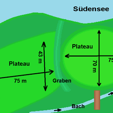
Südenseehof
6 km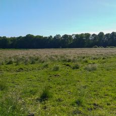
Wälder an der Bondenau
5 km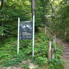
Wellspanger-Loiter-Oxbek-System und angrenzende Wälder
7.9 km
Sieverstedt Church
7.4 km
Großsolt Church
6.5 km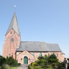
St. Ursula
8.5 km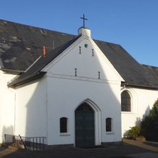
St.-Marien-Kirche
4.9 km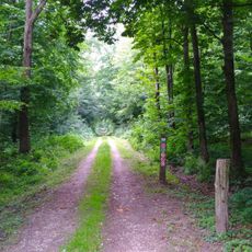
Rehbergholz und Schwennholz
981 m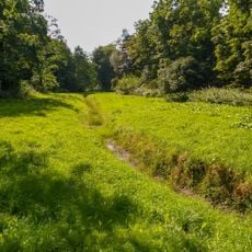
Wald-, Moor- und Heidelandschaft der Fröruper Berge und Umgebung
8.2 km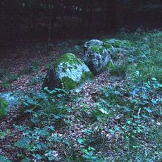
Großsteingrab Pinnesgrab
2 km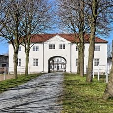
Gut Fahrenstedt
6.4 km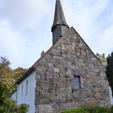
Jakobus-Kirche
3.4 km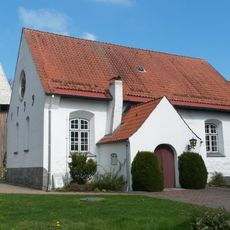
Schnarup-Thumby Kirche
3.9 km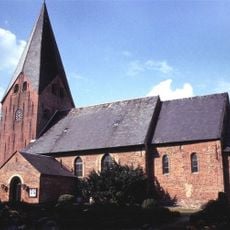
Norderstraße 5, Kirche St. Ursula
8.5 km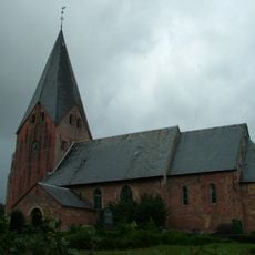
Norderstraße 5, Kirche St. Ursula
8.5 km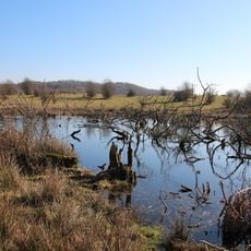
Winderatter See
8.8 km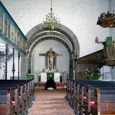
Kirche St. Marien mit Ausstattung
7.6 km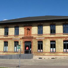
Ehem. Bahnhofshotel und Gaststätte
7.8 km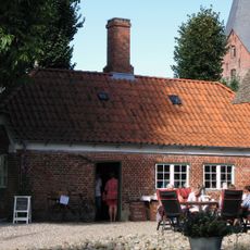
Lindenallee 2, Wohnhaus
8.5 km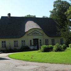
Pastorat
7.6 km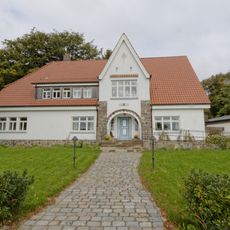
Am Kirchberg 16, Pastorat
6.6 km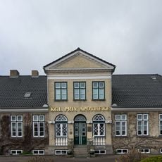
Schleswiger Straße 1, Apotheke
3.2 kmRecensioni
Ha visitato questo luogo? Tocchi le stelle per valutarlo e condividere la Sua esperienza o foto con la community! Provalo ora! Puoi annullarlo in qualsiasi momento.
Scopri tesori nascosti ad ogni viaggio!
Da piccoli caffè caratteristici a panorami nascosti, fuggi dalla folla e scova i posti che fanno davvero per te. La nostra app ti semplifica tutto: ricerca vocale, filtri furbi, percorsi ottimizzati e dritte autentiche da viaggiatori di tutto il mondo. Scaricala subito per vivere l'avventura sul tuo smartphone!

Un nuovo approccio alla scoperta turistica❞
— Le Figaro
Tutti i luoghi che meritano di essere esplorati❞
— France Info
Un’escursione su misura in pochi clic❞
— 20 Minutes