
NTP S-H Wadden Sea and adjacent coastal areas
NTP S-H Wadden Sea and adjacent coastal areas, protected area in the European Union defined by the habitats directive in Schleswig-Holstein, Germany
Posizione: Nordfriesland district
Inizio: 2004
Coordinate GPS: 54.48444,8.47732
Ultimo aggiornamento: 5 marzo 2025 alle 12:26

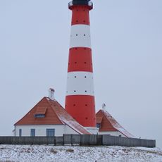
Faro di Westerheversand
16.2 km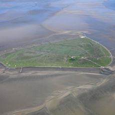
Süderoog
5.4 km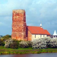
St. Salvator
8.2 km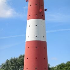
Leuchtturm Pellworm
12.3 km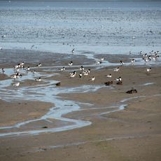
Nordfriesisches Wattenmeer
17.3 km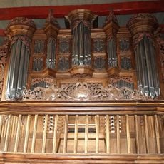
Organo della chiesa di San Salvatore a Pellworm
8.3 km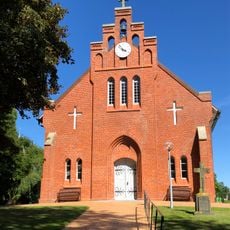
Neue Kirche
11.6 km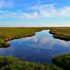
Wadden Sea and Hallig Islands of Schleswig-Holstein Biosphere Reserve
11.4 km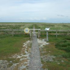
Stockenstieg
16.2 km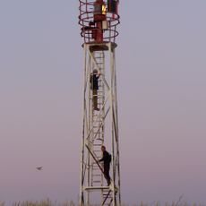
Wriakhörn Lighthouse
17.7 km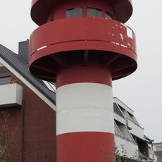
Leuchtturm Wittdün
16.6 km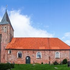
St. Stephanus
17.2 km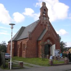
Kapelle
16.8 km
Rütergat
14.3 km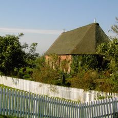
St. John's Church
10.8 km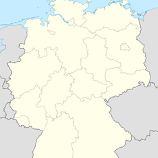
Schmaltief
10.7 km
Rungholtmuseum Bahnsen
9.2 km
Leuchtturm Nordmarsch
16.1 km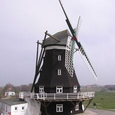
Nordermühle
12.1 km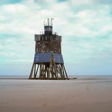
Leuchtturm Süderoogsand
6.7 km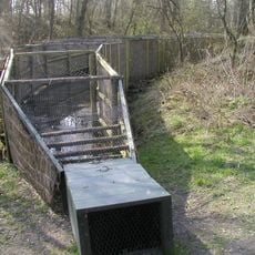
Vogelkoje Pellworm
15.7 km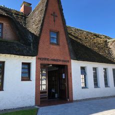
Momme-Nissen-Haus
14.1 km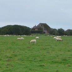
Haubarg Rosenhof
16.9 km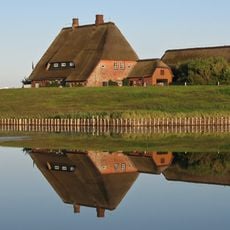
Kirchwarft
10.8 km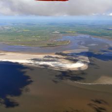
Westerhever Sand
14.9 km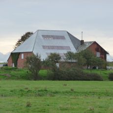
Haubarg
17.2 km
Haubarg Stufhusen
15.6 km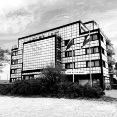
Zur alten Post (Amrum)
16.7 kmRecensioni
Ha visitato questo luogo? Tocchi le stelle per valutarlo e condividere la Sua esperienza o foto con la community! Provalo ora! Puoi annullarlo in qualsiasi momento.
Scopri tesori nascosti ad ogni viaggio!
Da piccoli caffè caratteristici a panorami nascosti, fuggi dalla folla e scova i posti che fanno davvero per te. La nostra app ti semplifica tutto: ricerca vocale, filtri furbi, percorsi ottimizzati e dritte autentiche da viaggiatori di tutto il mondo. Scaricala subito per vivere l'avventura sul tuo smartphone!

Un nuovo approccio alla scoperta turistica❞
— Le Figaro
Tutti i luoghi che meritano di essere esplorati❞
— France Info
Un’escursione su misura in pochi clic❞
— 20 Minutes