
Illingen - Schwarzenheller, protected area in Germany
Posizione: Illingen
Inizio: 1963
Coordinate GPS: 49.36555,7.00153
Ultimo aggiornamento: 12 giugno 2025 alle 15:28
Bergkapelle
2.5 km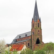
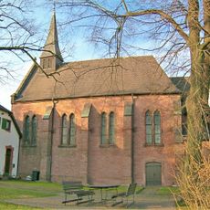
St. Josef
1.9 km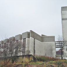
St. Augustinus
1.5 km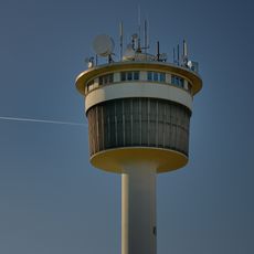
Wasserturm Heusweiler-Holz
3.5 km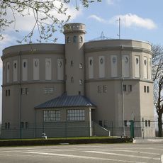
Water tower in Göttelborn
3.1 km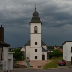
Evangelische Kirche
2 km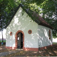
Valentinuskapelle (Wiesbach)
1.6 km
Mariä Himmelfahrt
2.6 km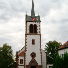
Evangelische Pfarrkirche Wahlschied
2.5 km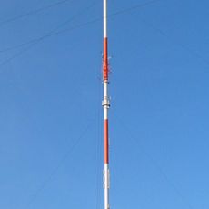
Göttelborner Höhe
3 km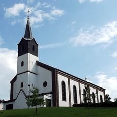
St. Jakobus
2.3 km
Ehrenmal
2.3 km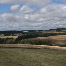
Berschweiler Tal mit Kreuzwaeldchen und Holzer Wiese
3.5 km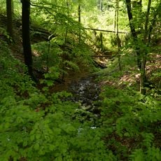
Illingen - Bamsterwald
3.1 km
Illingen - "Zu den Rechen"
1.7 km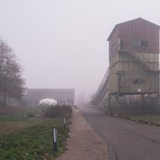
Landabsatz
3.4 km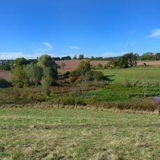
Illingen - Malzbach
2.2 km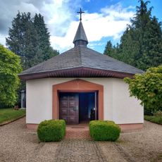
Vogelsbornkapelle
3.2 km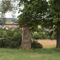
Wegekreuz
2.8 km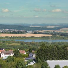
Schlammweiher Hahnwies
2.5 km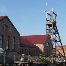
Fördergerüst Schacht Holz
3.4 km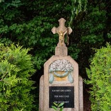
Wegekreuz
3.2 km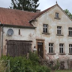
Building
3.2 km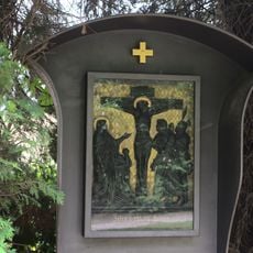
Stations of the cross
3.2 km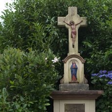
Wegekreuz
3.3 km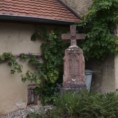
Wegekreuz
3 km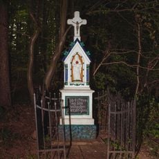
Wegekreuz
3.4 km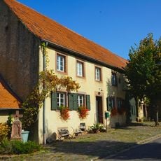
Bauernhaus
3 kmRecensioni
Ha visitato questo luogo? Tocchi le stelle per valutarlo e condividere la Sua esperienza o foto con la community! Provalo ora! Puoi annullarlo in qualsiasi momento.
Scopri tesori nascosti ad ogni viaggio!
Da piccoli caffè caratteristici a panorami nascosti, fuggi dalla folla e scova i posti che fanno davvero per te. La nostra app ti semplifica tutto: ricerca vocale, filtri furbi, percorsi ottimizzati e dritte autentiche da viaggiatori di tutto il mondo. Scaricala subito per vivere l'avventura sul tuo smartphone!

Un nuovo approccio alla scoperta turistica❞
— Le Figaro
Tutti i luoghi che meritano di essere esplorati❞
— France Info
Un’escursione su misura in pochi clic❞
— 20 Minutes