
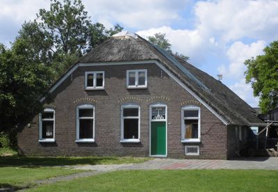
Gemeenteweg 351, Staphorst, Bauernhaus in den Niederlanden
Posizione: Staphorst
Indirizzo: Gemeenteweg 351 7951PB 7951PB
Coordinate GPS: 52.65351,6.22818
Ultimo aggiornamento: 9 marzo 2025 alle 09:59
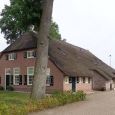
Gemeenteweg 346, Staphorst
610 m
Gemeenteweg 272, Staphorst
356 m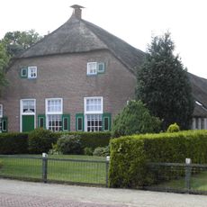
Gemeenteweg 251, Staphorst
558 m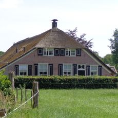
Leijendwarsweg 4, Staphorst
601 m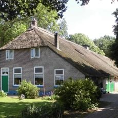
Gemeenteweg 312, Staphorst
120 m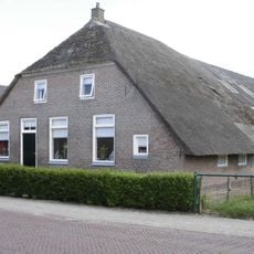
Gemeenteweg 292, Staphorst
255 m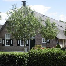
Gemeenteweg 254, Staphorst
459 m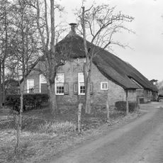
Gemeenteweg 305, Staphorst
316 m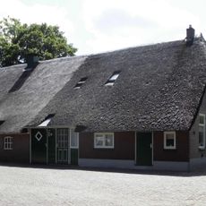
Gemeenteweg 308, Staphorst
218 m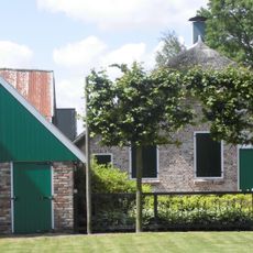
Gemeenteweg 301, Staphorst
326 m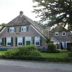
Gemeenteweg 298, Staphorst
218 m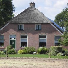
Gemeenteweg 337, Staphorst
184 m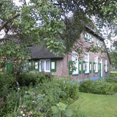
Gemeenteweg 353, Staphorst
73 m
Gemeenteweg 236, Staphorst
581 m
Gemeenteweg 244, Staphorst
522 m
Gemeenteweg 321, Staphorst
264 m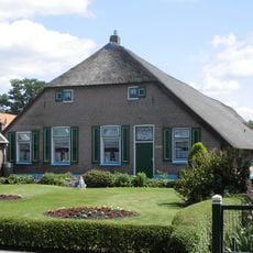
Gemeenteweg 286, Staphorst
301 m
Boerderij van het Staphorstse type
348 m
Boerderij van het Staphorstse type
169 m
Gemeenteweg 300, Staphorst
185 m
Boerderij van het Staphorstse type
419 m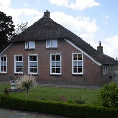
Gemeenteweg 275, Staphorst
435 m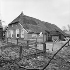
Gemeenteweg 330, Staphorst
232 m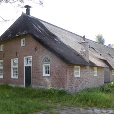
Gemeenteweg 269, Staphorst
470 m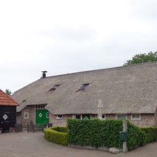
Jan Lubbertsland 2, Staphorst
104 m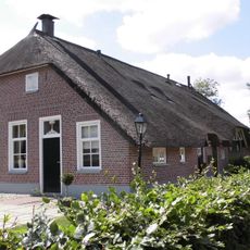
Gemeenteweg 255, Staphorst
553 m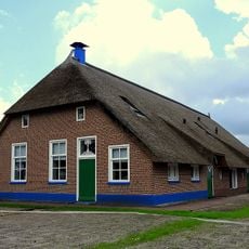
Gave boerderij van het Staphorstse type
616 m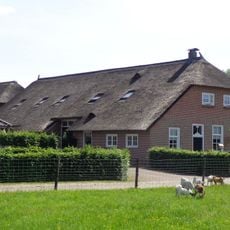
Portiekstraatje 4, Staphorst
601 mRecensioni
Ha visitato questo luogo? Tocchi le stelle per valutarlo e condividere la Sua esperienza o foto con la community! Provalo ora! Puoi annullarlo in qualsiasi momento.
Scopri tesori nascosti ad ogni viaggio!
Da piccoli caffè caratteristici a panorami nascosti, fuggi dalla folla e scova i posti che fanno davvero per te. La nostra app ti semplifica tutto: ricerca vocale, filtri furbi, percorsi ottimizzati e dritte autentiche da viaggiatori di tutto il mondo. Scaricala subito per vivere l'avventura sul tuo smartphone!

Un nuovo approccio alla scoperta turistica❞
— Le Figaro
Tutti i luoghi che meritano di essere esplorati❞
— France Info
Un’escursione su misura in pochi clic❞
— 20 Minutes