
Site in which the remains of a settlement near Rimburg, archaeological site near Rimburg, Netherlands
Posizione: Landgraaf
Indirizzo: Maastrichterweg
Coordinate GPS: 50.91441,6.07742
Ultimo aggiornamento: 10 marzo 2025 alle 00:58
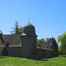
Schloss Rimburg
865 m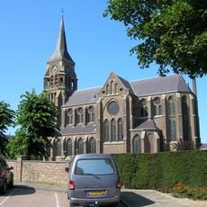
Sint-Jozefkerk
1.8 km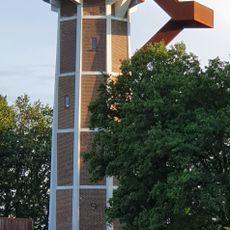
Watertower Rimburg
902 m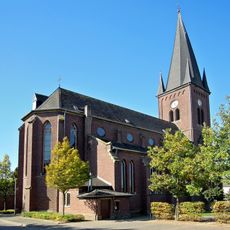
St. Mariä Himmelfahrt
1.7 km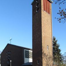
St. Mariä Heimsuchung
1.6 km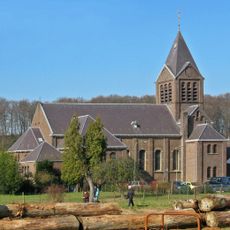
Drievuldigheidskerk
747 m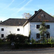
Rimburg mills
719 m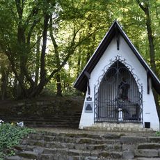
Sint-Jozefkapel
139 m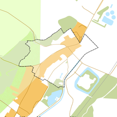
Rijksbeschermd gezicht Rimburg
595 m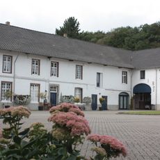
Hoeve De Kruisstraat
719 m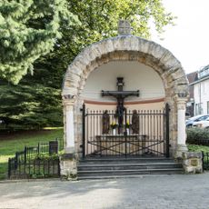
Kapel Groenstraat
1.7 km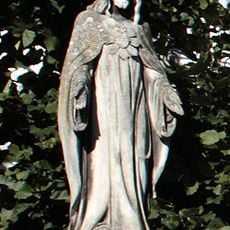
Statue of Sacred Heart of Jesus Christ
719 m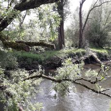
Wurmtal nördlich Herzogenrath
1.5 km
Former town hall Ubach over Worms
1.8 km
Rimburgerweg 160, Rimburg
1 km
Rinckberg 27, Rimburg
557 m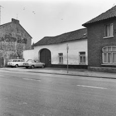
Groenstraat 128, Landgraaf
1.8 km
De Bieleman
1.9 km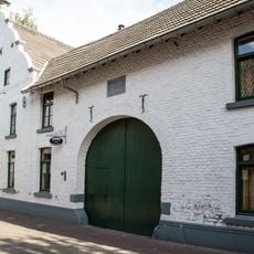
Rinckberg 29, Rimburg
545 m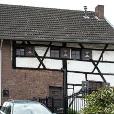
Groenstraat 123, Landgraaf
1.8 km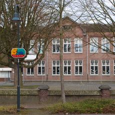
Palenbergerweg 5, Rimburg
807 m
Rinckberg 22, Rimburg
546 m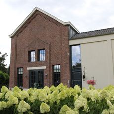
Rimburg water pumping station
561 m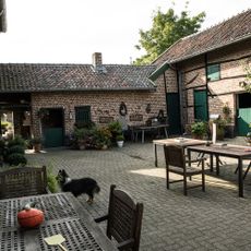
Groenstraat 139, Landgraaf
1.7 km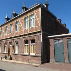
Broekhuizenstraat 107, Rimburg
406 m
Charles Frehenstraat 2, Landgraaf
1.9 km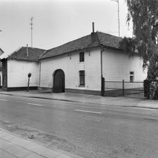
Groenstraat 126, Landgraaf
1.8 km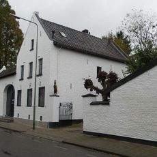
Grensstraat 87, Landgraaf
1.8 kmRecensioni
Ha visitato questo luogo? Tocchi le stelle per valutarlo e condividere la Sua esperienza o foto con la community! Provalo ora! Puoi annullarlo in qualsiasi momento.
Scopri tesori nascosti ad ogni viaggio!
Da piccoli caffè caratteristici a panorami nascosti, fuggi dalla folla e scova i posti che fanno davvero per te. La nostra app ti semplifica tutto: ricerca vocale, filtri furbi, percorsi ottimizzati e dritte autentiche da viaggiatori di tutto il mondo. Scaricala subito per vivere l'avventura sul tuo smartphone!

Un nuovo approccio alla scoperta turistica❞
— Le Figaro
Tutti i luoghi che meritano di essere esplorati❞
— France Info
Un’escursione su misura in pochi clic❞
— 20 Minutes