
Жарки, human settlement in Kostroma Oblast, Russia
Posizione: Расловское сельское поселение
Coordinate GPS: 57.92603,41.39877
Ultimo aggiornamento: 21 marzo 2025 alle 04:26

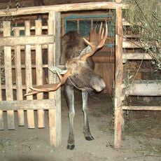
Kostroma Moose Farm
30.1 km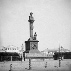
Ivan Susanin Monument
33.2 km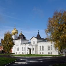
Theophany Convent, Kostroma
32.9 km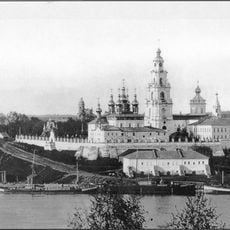
Kostroma Kremlin
33.3 km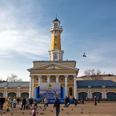
Fire lookout tower in Kostroma
33.1 km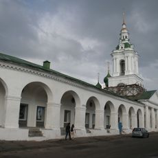
Kostroma Gostiny Dvor
33.3 km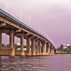
Kostroma Bridge
33.6 km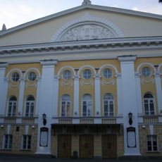
Ostrovsky State Drama Theatre
32.7 km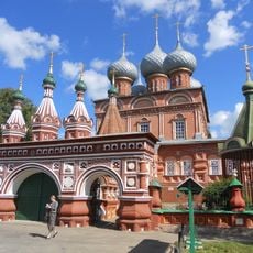
Church of the Resurrection
32.7 km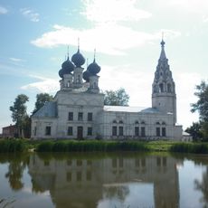
Resurrection Church in Susanino
26.9 km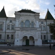
Kostroma Historical and Architectural Museum-Reserve
32.8 km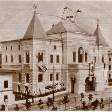
Romanov Museum
32.8 km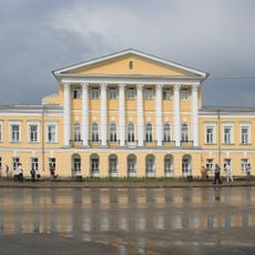
Borshchov Manor, Kostroma
32.9 km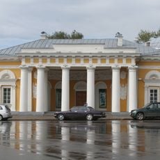
Guard house, Kostroma
33 km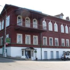
Kostroma region Museum of Nature
33.3 km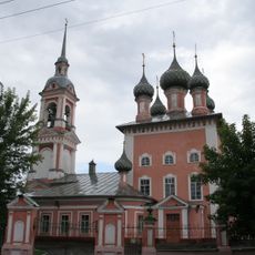
Saint John Chrysostom Church
32.5 km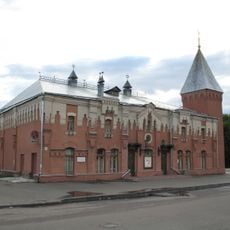
Puppet Theatre of Kostroma Oblast
33.3 km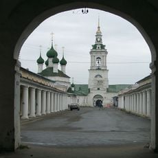
Church of the Holy Mandylion in the Rows
33.2 km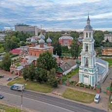
Monastery of the Theotokos of the Sign
32.8 km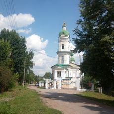
Church of Alexis, a man of God, Kostroma
32.2 km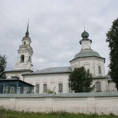
Church of the Saviour Behind the Pond in Kostroma, Russia
32.1 km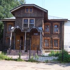
בית הכנסת בקוסטרומה
32.3 km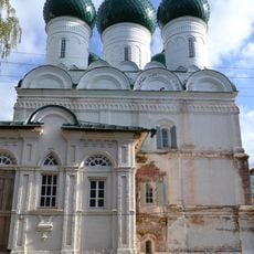
Church of the Resurrection of Christ, Kostroma
33.1 km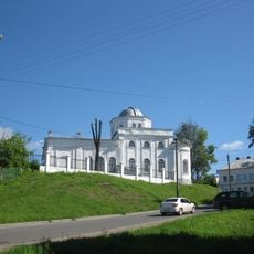
Saint John the Evangelist church
33 km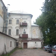
Власьевская церковь (Кострома)
33 km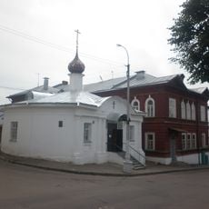
Часовня Николая Чудотворца на Молочной горе
33.3 km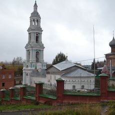
Church of the Theotokos of the Sign
32.7 km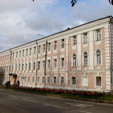
Костромское реальное училище
33.5 kmRecensioni
Ha visitato questo luogo? Tocchi le stelle per valutarlo e condividere la Sua esperienza o foto con la community! Provalo ora! Puoi annullarlo in qualsiasi momento.
Scopri tesori nascosti ad ogni viaggio!
Da piccoli caffè caratteristici a panorami nascosti, fuggi dalla folla e scova i posti che fanno davvero per te. La nostra app ti semplifica tutto: ricerca vocale, filtri furbi, percorsi ottimizzati e dritte autentiche da viaggiatori di tutto il mondo. Scaricala subito per vivere l'avventura sul tuo smartphone!

Un nuovo approccio alla scoperta turistica❞
— Le Figaro
Tutti i luoghi che meritano di essere esplorati❞
— France Info
Un’escursione su misura in pochi clic❞
— 20 Minutes