
Wreningham, village in United Kingdom
Posizione: South Norfolk
Coordinate GPS: 52.54385,1.19384
Ultimo aggiornamento: 4 marzo 2025 alle 02:35
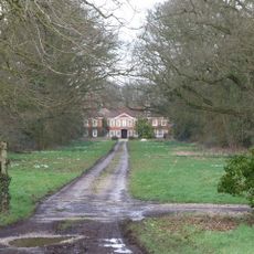
Tacolneston Hall
4.3 km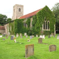
Church of All Saints
3.7 km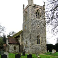
Church of St Peter
3.8 km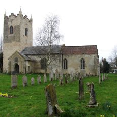
Church of All Saints
1.7 km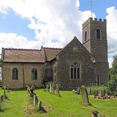
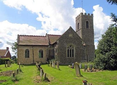
Church of All Saints
332 m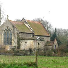
Church of St Nicholas
1.9 km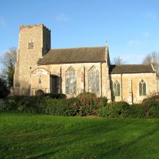
Church of All Saints
2.3 km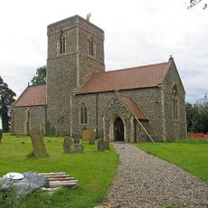
Church of St Nicholas
2.4 km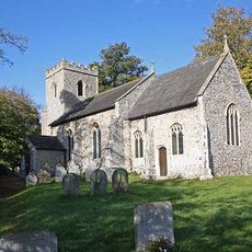
Church of St Margaret
2.3 km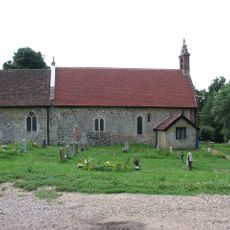
Church of St Michael
2.7 km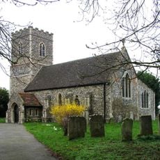
Church of St Mary
3.5 km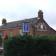
Bird-In-Hand P.H.
21 m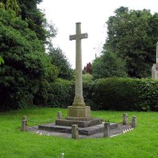
Ashwellthorpe War Memorial
2.3 km
Bracon Ash and Hethel War Memorial
2 km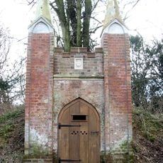
Icehouse To Ketteringham Hall At Tg 1691 0264
3.9 km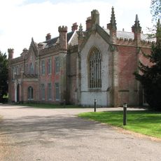
Ketteringham Hall
3.7 km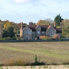
Flordon Hall
2.2 km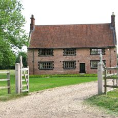
High House Farmhouse
2.2 km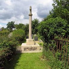
Wreningham War Memorial
354 m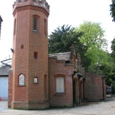
Right Gateway Turret To Stable Yard At Ketteringham Hall And Attached Range, Incorporating Three Greek Marbles
3.8 km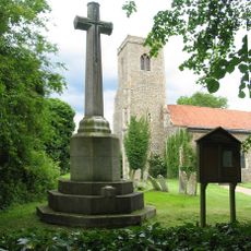
Tacolneston War Memorial
3.7 km
Ruins of Church of St Peter C.20M East of Church of St Mary Q.V. 5/20
3.5 km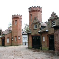
Left Gateway Turret To Stable Yard At Ketteringham Hall Incorporating A Greek Marble, With Attached Range
3.8 km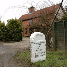
Milestone, N of entrance to Rose Cottage, Norwich Road
845 m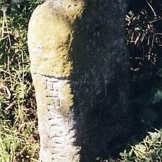
Milestone, just N of jct with School Road, N side of post box
2.1 km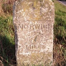
Milestone, 40yds N of jct with Wymondham Road
684 m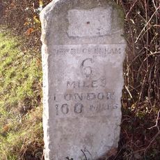
Milestone, 25yds S of Tye's Farm
2.3 km
Milestone, 100m S of church
3.8 kmRecensioni
Ha visitato questo luogo? Tocchi le stelle per valutarlo e condividere la Sua esperienza o foto con la community! Provalo ora! Puoi annullarlo in qualsiasi momento.
Scopri tesori nascosti ad ogni viaggio!
Da piccoli caffè caratteristici a panorami nascosti, fuggi dalla folla e scova i posti che fanno davvero per te. La nostra app ti semplifica tutto: ricerca vocale, filtri furbi, percorsi ottimizzati e dritte autentiche da viaggiatori di tutto il mondo. Scaricala subito per vivere l'avventura sul tuo smartphone!

Un nuovo approccio alla scoperta turistica❞
— Le Figaro
Tutti i luoghi che meritano di essere esplorati❞
— France Info
Un’escursione su misura in pochi clic❞
— 20 Minutes