Coton in the Elms, Insediamento in Inghilterra
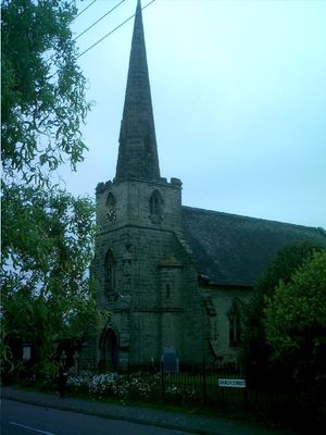
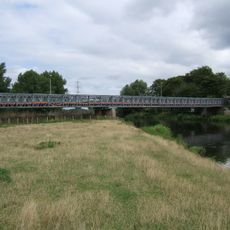
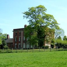
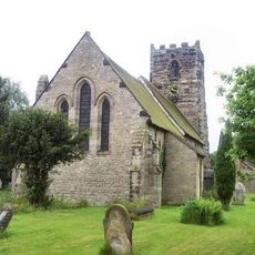
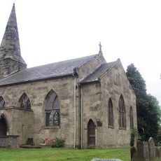
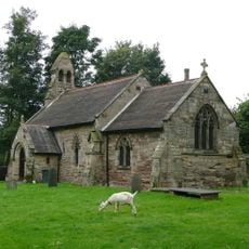
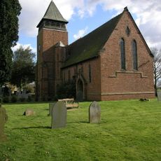
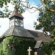
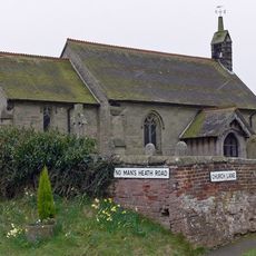
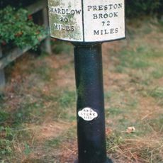
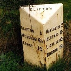
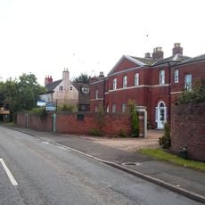
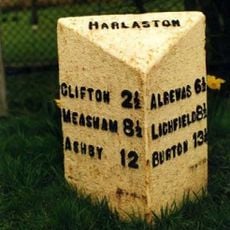
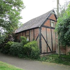
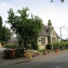
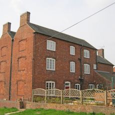
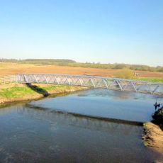
Coton in the Elms è un piccolo villaggio nel South Derbyshire, in Inghilterra, organizzato come parrocchia civile e situato nelle Midlands. L'insediamento comprende case sparse, fattorie e strutture rurali distribuite nel paesaggio agricolo caratteristico di questa regione.
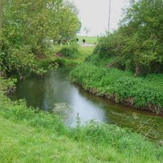
Il nome del villaggio si riferisce ai tigli che un tempo crescevano abbondantemente in questa zona. L'insediamento si è sviluppato come comunità agricola nel corso dei secoli e ha mantenuto il suo carattere rurale nel corso della sua storia.
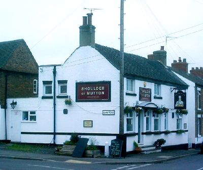
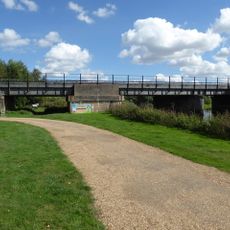
Essendo un villaggio rurale, Coton in the Elms è meglio accessibile in auto poiché si trova in un'area scarsamente popolata. L'insediamento offre strutture minime, quindi i visitatori dovrebbero aspettarsi di viaggiare verso i paesi vicini per gli acquisti e i servizi.
La comunità dei viaggiatori curiosi
AroundUs riunisce migliaia di luoghi selezionati, consigli locali e gemme nascoste, arricchiti ogni giorno da oltre 60,000 contributori in tutto il mondo.