
Isham, village and civil parish in Northamptonshire, United Kingdom
Posizione: North Northamptonshire
Coordinate GPS: 52.35290,-0.70240
Ultimo aggiornamento: 9 marzo 2025 alle 13:29

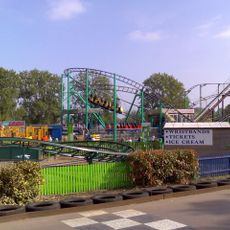
Wicksteed Park
3.6 km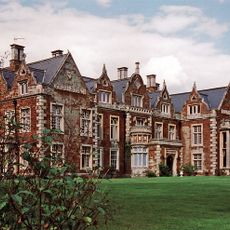
Finedon Hall
3.1 km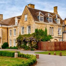
Barton Seagrave Hall
3.8 km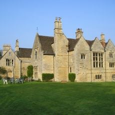
Burton Latimer Hall And Wall Attached To South
2.2 km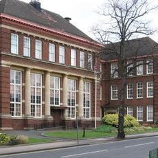
Kettering Municipal Offices
5 km
Badsaddle, Withmale Park and Bush Walk Woods
5.3 km
Finedon Cally Banks
2.9 km
Wicksteed Park Nature Reserve
3.6 km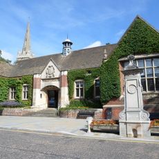
Kettering Library
5.1 km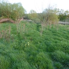
Southfield Farm Marsh
2.3 km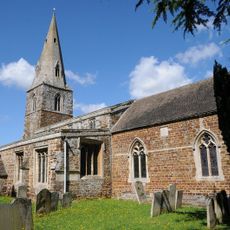
Church of St Andrew
5.3 km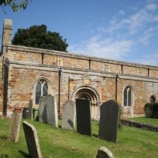
Church of St Mary
2.3 km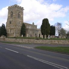
Church of St Peter
402 m
Church of St Mary the Virgin
3.2 km
Church of All Saints, Pytchley
2.8 km
Church of St Mary the Virgin
2.4 km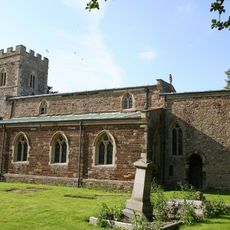
Church of St Leonard
5.1 km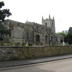
Church of All Saints
2.7 km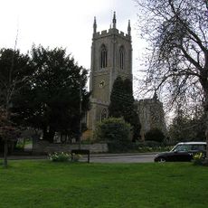
Church of St Mary
2.8 km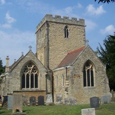
Church of Saint Botolph
3.6 km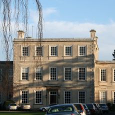
Harrowden Hall (Wellingborough Golf Club)
2.7 km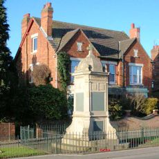
Finedon War Memorial
3.7 km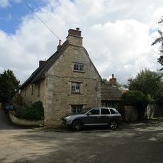
Keeper's Cottage
3 km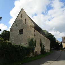
Barns Approximately 40 Metres East Of The Old Rectory
2.6 km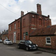
Old School House
2.9 km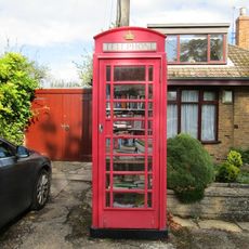
K6 Telephone Kiosk
2.7 km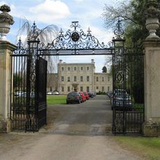
Gates, Gatepiers And Railings Approximately 90 Metres West Of Harrowden Hall
2.7 km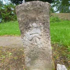
Milestone, Barton Road, at entrance to Wickstead Park
3.8 kmRecensioni
Ha visitato questo luogo? Tocchi le stelle per valutarlo e condividere la Sua esperienza o foto con la community! Provalo ora! Puoi annullarlo in qualsiasi momento.
Scopri tesori nascosti ad ogni viaggio!
Da piccoli caffè caratteristici a panorami nascosti, fuggi dalla folla e scova i posti che fanno davvero per te. La nostra app ti semplifica tutto: ricerca vocale, filtri furbi, percorsi ottimizzati e dritte autentiche da viaggiatori di tutto il mondo. Scaricala subito per vivere l'avventura sul tuo smartphone!

Un nuovo approccio alla scoperta turistica❞
— Le Figaro
Tutti i luoghi che meritano di essere esplorati❞
— France Info
Un’escursione su misura in pochi clic❞
— 20 Minutes