
Calow, village and civil parish in North East Derbyshire, England
Posizione: North East Derbyshire
Confina con: Chesterfield, Grassmoor, Hasland and Winsick, Temple Normanton, Sutton cum Duckmanton, Staveley, Brimington
Coordinate GPS: 53.23540,-1.37740
Ultimo aggiornamento: 6 marzo 2025 alle 19:28
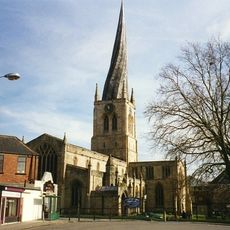
Church of St Mary and All Saints, Chesterfield
3.1 km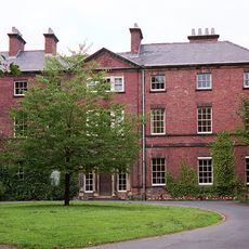
Tapton House
2.7 km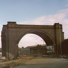
Horns Bridge
3 km
Chesterfield Museum and Art Gallery
3.1 km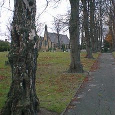
St Paul's Church
3.2 km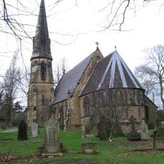
Church of St Peter
884 m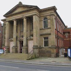
Central Methodist Church
3.4 km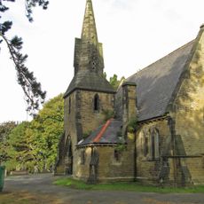
Cemetery Church And Chapel At Spital Cemetery
2.6 km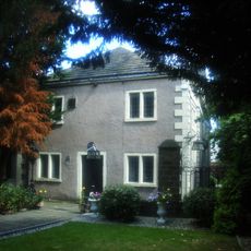
Unitarian Chapel
3.3 km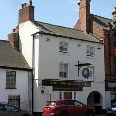
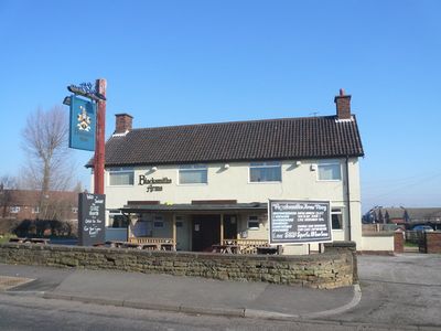
The Spread Eagle Public House
3.3 km
War Memorial in Churchyard to North East of St Mary's Church
3.1 km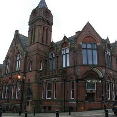
Stephenson Memorial Hall
3.1 km
Winding Wheel
3.1 km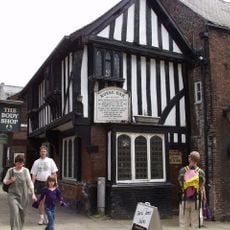
The Royal Oak Inn
3.4 km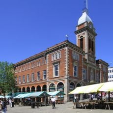
The Market Hall
3.5 km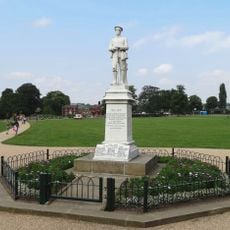
Hasland War Memorial
2.6 km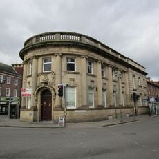
William And Glyn's Bank And Bank Chambers
3.2 km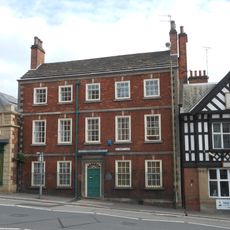
42, St Mary's Gate
3.1 km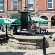
The Town Pump
3.4 km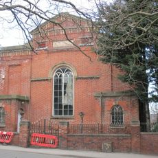
Physiotherpay Department Of Royal Hospital
3.1 km
9, Beetwell Street
3.3 km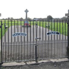
Calow War Memorial
251 m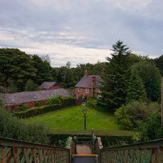
The Court House (Including Range Of Adjoining Buildings)
2.8 km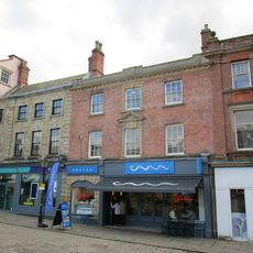
43, Low Pavement
3.4 km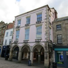
41, Low Pavement
3.4 km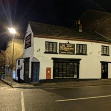
Holywell Cross Post Office
3.2 km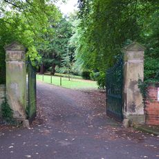
Gatepiers At Tapton House
2.7 km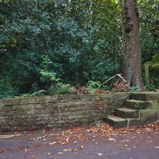
Mounting Block Outside Entrance Gates To Tapton House
2.7 kmRecensioni
Ha visitato questo luogo? Tocchi le stelle per valutarlo e condividere la Sua esperienza o foto con la community! Provalo ora! Puoi annullarlo in qualsiasi momento.
Scopri tesori nascosti ad ogni viaggio!
Da piccoli caffè caratteristici a panorami nascosti, fuggi dalla folla e scova i posti che fanno davvero per te. La nostra app ti semplifica tutto: ricerca vocale, filtri furbi, percorsi ottimizzati e dritte autentiche da viaggiatori di tutto il mondo. Scaricala subito per vivere l'avventura sul tuo smartphone!

Un nuovo approccio alla scoperta turistica❞
— Le Figaro
Tutti i luoghi che meritano di essere esplorati❞
— France Info
Un’escursione su misura in pochi clic❞
— 20 Minutes