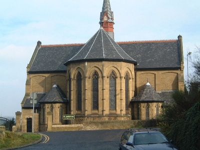
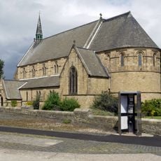
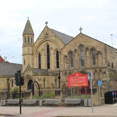
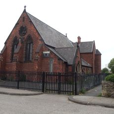
Felling, urban area in the metropolitan borough of Gateshead, Tyne and Wear, England
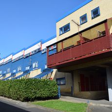
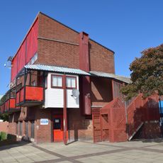
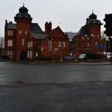
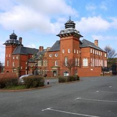
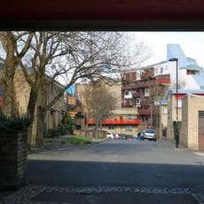
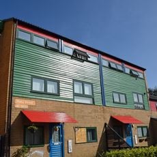
Felling è un villaggio a Gateshead con case costruite tra la fine del 19° e l'inizio del 20° secolo lungo le sue strade. L'insediamento si estende su un terreno pianeggiante e dolce con piccoli parchi e spazi verdi sparsi nelle aree residenziali.
Il nome deriva dall'abbattimento di alberi nei tempi antichi, e l'area fu stabilita come distretto nel 1894. Felling crebbe come centro di estrazione del carbone, cave e lavoro industriale, che plasmò il modo di vivere e lavorare di più generazioni.
Felling si sviluppò come un luogo dove le persone si riunivano nei pub e sulle strade principali per condividere la loro vita quotidiana. Questo spirito comunitario ha plasmato l'identità del villaggio e rimane visibile oggi in come i residenti valorizzano le loro tradizioni locali e i legami con il passato.
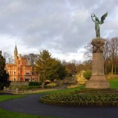
Il luogo è ben servito da collegamenti di autobus che lo collegano a Gateshead e alle città vicine. Il terreno pianeggiante e la vicinanza ai parchi rendono facile camminare e orientarsi.
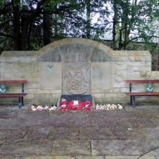
Un collegamento locale sorprendente con un grande evento mondiale proviene da John Brown-King dalla vicina Windy Nook, a cui si attribuisce il primo colpo della Prima Guerra Mondiale da una nave chiamata The Amphion. Questa storia collega il piccolo villaggio a un momento significativo della storia mondiale.
La comunità dei viaggiatori curiosi
AroundUs riunisce migliaia di luoghi selezionati, consigli locali e gemme nascoste, arricchiti ogni giorno da oltre 60,000 contributori in tutto il mondo.