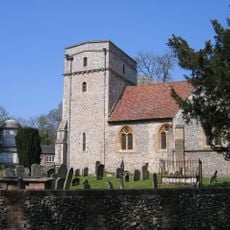
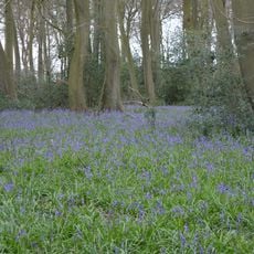
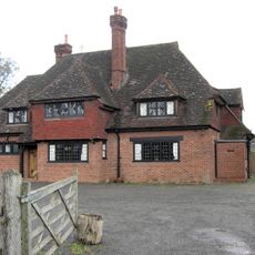
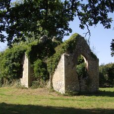
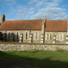
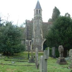
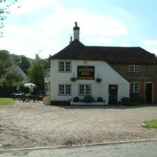
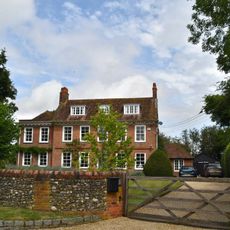
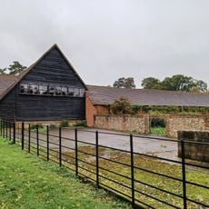
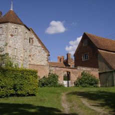
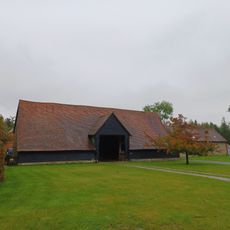
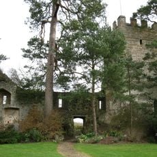
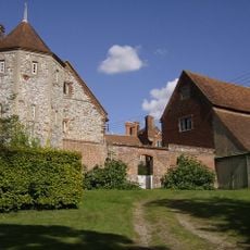
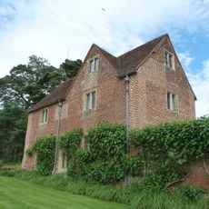
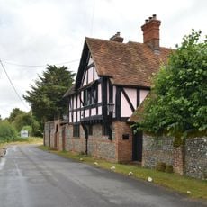
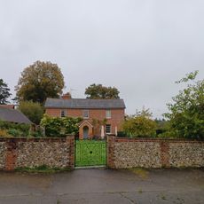
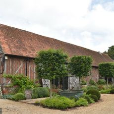
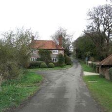
Bix and Assendon, civil parish in South Oxfordshire district, Oxfordshire, England
Posizione: South Oxfordshire
Confina con: Henley-on-Thames, Pishill with Stonor, Swyncombe, Nettlebed, Highmoor, Rotherfield Greys
Coordinate GPS: 51.56000,-0.94000
Ultimo aggiornamento: 6 marzo 2025 alle 13:02
Friar Park
2.8 km
Greys Court
2 km
Fawley Court
3.1 km
Crocker End House
3.3 km
Fawley Hill Railway
2.2 km
St Mary the Virgin's Church, Fawley
2.4 km
Lambridge Wood
566 m
The Fox Public House
1.1 km
Bix old church
2.1 km
Church of St James
778 m
Henley Cemetery Church Of England Chapel
994 m
Golden Ball Public House
853 m
Lawrences Farmhouse
942 m
Brawns Farmhouse
684 m
Bromsden Farmhouse, Barn Approximately 40 Metres South
2 km
Greys Court Well House
2.1 km
Bromsden Farmhouse, Barn Approximately 20 Metres West
2 km
Greys Court, Great Tower, Attached Ruined Tower And Walls Approximately 60 Metres East
2 km
Greys Court, The Keep
2.1 km
Greys Court, Cromwellian Stables Approximately 40 Metres East
2 km
Bix Manor
809 m
Bromsden Farmhouse
2 km
Bix Manor, Barn Approximately 40 Metres South
814 m
Greys Court, Dower House
2 km
The Old Bakehouse
2.2 km
Milestone, Fair Mile; opp. Lambridge Wood Road
2 km
Milestone, W of the Fox PH and top of Bix Hill
1.2 km
Milestone, Nettlebed Woods, half way down the straight
2.8 kmRecensioni
Ha visitato questo luogo? Tocchi le stelle per valutarlo e condividere la Sua esperienza o foto con la community! Provalo ora! Puoi annullarlo in qualsiasi momento.
Scopri tesori nascosti ad ogni viaggio!
Da piccoli caffè caratteristici a panorami nascosti, fuggi dalla folla e scova i posti che fanno davvero per te. La nostra app ti semplifica tutto: ricerca vocale, filtri furbi, percorsi ottimizzati e dritte autentiche da viaggiatori di tutto il mondo. Scaricala subito per vivere l'avventura sul tuo smartphone!
Un nuovo approccio alla scoperta turistica❞
— Le Figaro
Tutti i luoghi che meritano di essere esplorati❞
— France Info
Un’escursione su misura in pochi clic❞
— 20 Minutes