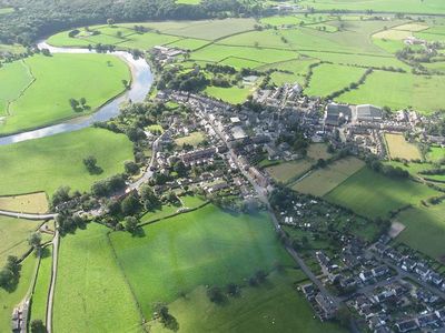
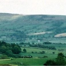
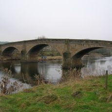
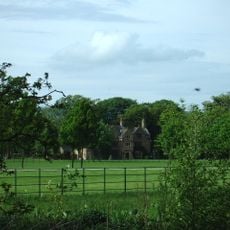
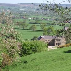
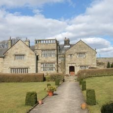
Ribchester, village and civil parish in Lancashire, UK
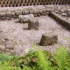
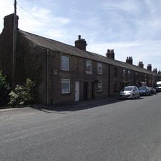
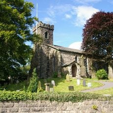
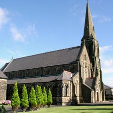
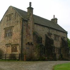
Ribchester è un piccolo villaggio nella valle del Ribble, Lancashire, situato accanto al fiume Ribble. Contiene una casa termale romana del 1 secolo con pavimenti e pilastri superstiti, un museo che espone artefatti romani e un famoso elmo di cavalleria, diverse chiese risalenti al 13 secolo e edifici tradizionali con elementi Tudor.
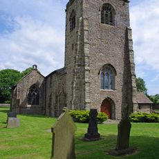
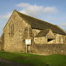
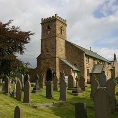
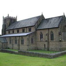
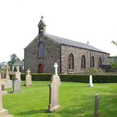
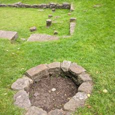
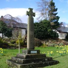
Il sito prende il nome dal forte romano Bremetennacum, costruito alla fine del 1 secolo accanto al fiume Ribble per proteggere un punto di attraversamento. Successivamente l'insediamento si sviluppò in un villaggio con chiese medievali come la Cappella Stydd del 12 secolo e la Chiesa di San Wilfrido, che ancora oggi rimangono in piedi.
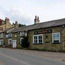
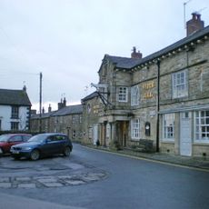
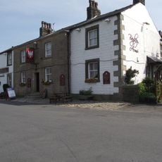
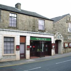
Il nome Ribchester deriva dal nome latino del forte romano Bremetennacum. I passeggiatori di cani sono una vista abituale lungo i sentieri del fiume, e i quattro pub fungono da luoghi di incontro dove i locali si riuniscono e chiacchierano.
Il villaggio si esplora facilmente a piedi con vari sentieri fluviali disponibili, incluso il Ribble Way che segue il fiume dalle colline dello Yorkshire alla costa. Diversi pub e una sala da tè offrono posti dove riposare dopo una passeggiata e servono pasti preparati con ingredienti locali.
Un famoso elmo di cavalleria romana, uno dei reperti più preziosi del forte, è stato scoperto negli anni 1700 ed è ora esposto in un museo a Londra. Questa straordinaria scoperta rivela l'importanza militare dell'insediamento romano e attrae appassionati di storia da tutto il mondo.
La comunità dei viaggiatori curiosi
AroundUs riunisce migliaia di luoghi selezionati, consigli locali e gemme nascoste, arricchiti ogni giorno da oltre 60,000 contributori in tutto il mondo.