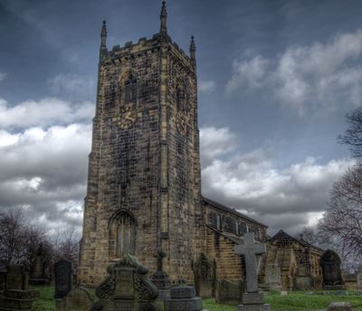
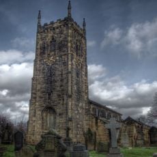
Normanton, town in the City of Wakefield, West Yorkshire, England
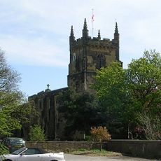
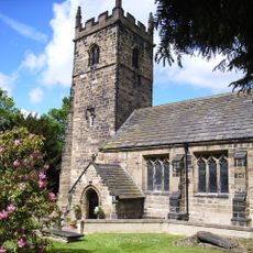
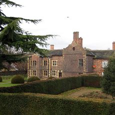
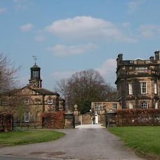
Normanton è una piccola città nel West Yorkshire con un mix di edifici più vecchi e case più nuove sparse. La struttura riflette diversi periodi di crescita, dalle fondazioni medievali alle strutture vittoriane costruite durante l'era delle ferrovie e dell'estrazione del carbone.
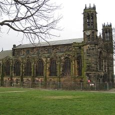
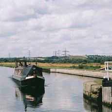
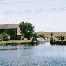
Normanton si sviluppò come insediamento normanno nel 11° secolo e conobbe la sua massima crescita negli anni 1800 attraverso ferrovie e estrazione del carbone. Queste industrie hanno plasmato la città e i suoi abitanti, fino al declino dell'estrazione del carbone nei primi anni 2000.
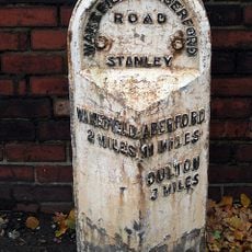
Il nome Normanton deriva dal periodo normanno intorno al 1086 e significa 'città normanna'. Le strade e gli edifici riflettono questo patrimonio medievale, e i visitatori possono vedere come questo passato continua a caratterizzare il luogo.
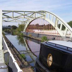
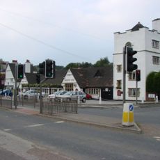
Esplorare Normanton è semplice, poiché la città si collega bene in autobus e treno alle città più grandi come Leeds e Wakefield. Il parcheggio è disponibile in molte aree, e la maggior parte dei luoghi è raggiungibile a piedi o a pochi minuti di auto.
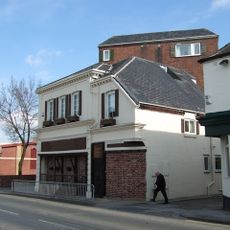
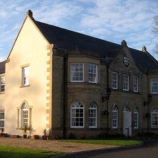
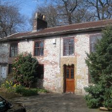
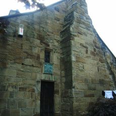
Hanson House, un edificio con struttura in legno del 15° secolo, esemplifica l'artigianato medievale ed è stato restaurato dopo un incendio. I visitatori possono vedere questa struttura e comprendere lo sforzo richiesto per mantenere edifici così antichi.
La comunità dei viaggiatori curiosi
AroundUs riunisce migliaia di luoghi selezionati, consigli locali e gemme nascoste, arricchiti ogni giorno da oltre 60,000 contributori in tutto il mondo.