
Marshfield, village and civil parish in Gloucestershire, UK
Posizione: South Gloucestershire
Coordinate GPS: 51.46200,-2.31700
Ultimo aggiornamento: 7 aprile 2025 alle 03:08
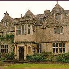
St Catherine's Court
3.5 km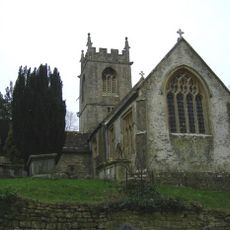
Church of St Catherine, St Catherine
3.5 km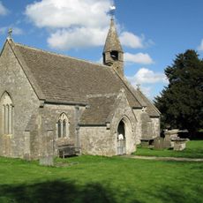
Church of St James
2.7 km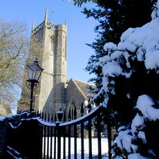
Parish Church of St Mary
148 m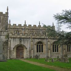
Church of Holy Trinity
3.1 km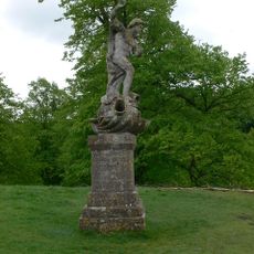
Statue of Neptune About 320 Metres East of Dyrham House
4.1 km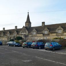
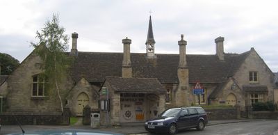
Crispe Almshouses And Chapel
685 m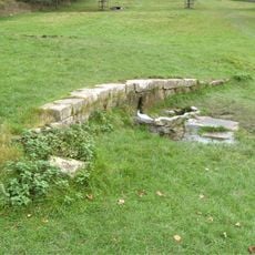
Remains Of Wall About 200 Metres North Of Statue Of Neptune
4.1 km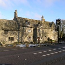
The White Hart
3.2 km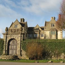
The Manor House
3.2 km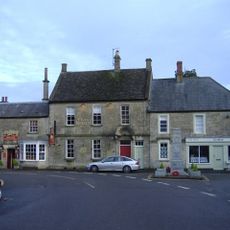
Lord Nelson Public House, And The North Wing
22 m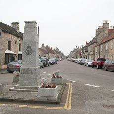
Marshfield War Memorial
12 m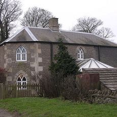
Oldfield Gatehouse
3.5 km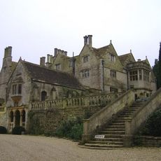
Retaining Wall And Central Flight Of Steps,immediately To North East Of St Catherine's Court
3.5 km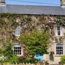
Dunsdown House
3.9 km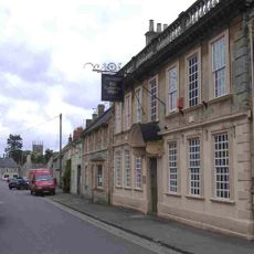
The Catherine Wheel
132 m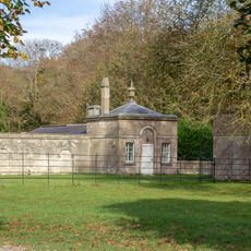
Lodge, Walls, Gate Piers And Railings To Dyrham Park On Bath Road
3.8 km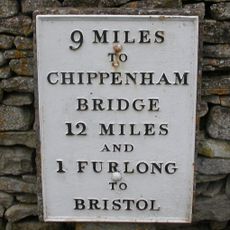
Milestone At Ngr St 7823 7381
183 m
Three Shire Stones
4 km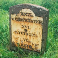
Milestone At Ngr St 7468 7457
3.5 km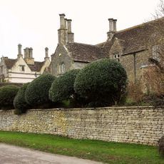
The Old Rectory
3.2 km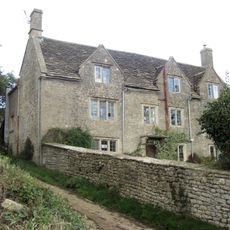
Manor Farmhouse
5 km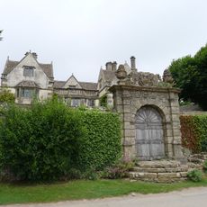
Garden Walls And Gateways About 15 Metres South Of The Manor House
3.2 km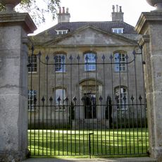
Marshfield House
80 m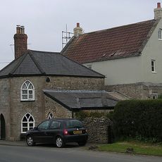
Toll House
841 m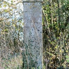
Gatepier At Ngr St 7699 7266
1.5 km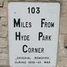
Milestone, High Street, by No. 2,
85 m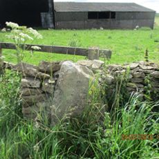
Milestone, Rushmead Farm, Tormarton Road
1.7 kmRecensioni
Ha visitato questo luogo? Tocchi le stelle per valutarlo e condividere la Sua esperienza o foto con la community! Provalo ora! Puoi annullarlo in qualsiasi momento.
Scopri tesori nascosti ad ogni viaggio!
Da piccoli caffè caratteristici a panorami nascosti, fuggi dalla folla e scova i posti che fanno davvero per te. La nostra app ti semplifica tutto: ricerca vocale, filtri furbi, percorsi ottimizzati e dritte autentiche da viaggiatori di tutto il mondo. Scaricala subito per vivere l'avventura sul tuo smartphone!

Un nuovo approccio alla scoperta turistica❞
— Le Figaro
Tutti i luoghi che meritano di essere esplorati❞
— France Info
Un’escursione su misura in pochi clic❞
— 20 Minutes