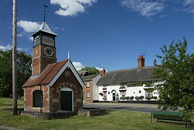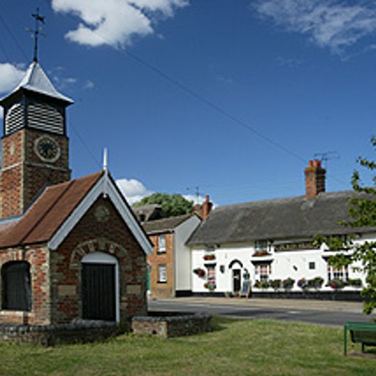
Heath and Reach, village and civil parish in Bedfordshire, UK
Posizione: Central Bedfordshire
Coordinate GPS: 51.94300,-0.65550
Ultimo aggiornamento: 7 marzo 2025 alle 23:12

Stockgrove Country Park
1.3 km
Double Arches Pit
1.7 km
Kings and Bakers Woods and Heaths
1.9 km
St Mary's Church, Potsgrove
3.2 km
Church of St Mary, Linslade
1.9 km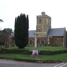
St Mary the Virgin, Great Brickhill
3.7 km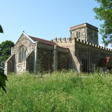
Church of St Peter & All Saints, Battlesden
3.6 km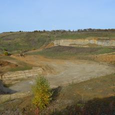
Nine Acres Pit
1.5 km
Nares Gladley Marsh
1.8 km
Stonehenge Works Station
1.7 km
The Globe Inn
2.1 km
Church of St Leonard
310 m
The Black Horse Public House
2.8 km
Friends Meeting House, Leighton Buzzard
2.8 km
33 And 35, North Street
2.8 km
Village Pumphouse And Clock Tower
7 m
10-14, Lammas Walk
2.8 km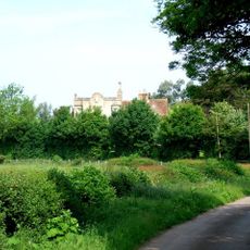
The Grange
3.8 km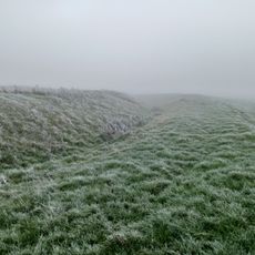
Moated site known as `The Hoult' and associated field system
3.3 km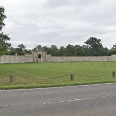
London Lodge, Gateway And Walls
4.8 km
12, North Street
2.9 km
Outbuilding To The Black Horse Public House
2.8 km
52 And 54, North Street
2.8 km
37-51, North Street
2.7 km
27-31, North Street
2.8 km
Canal bridge at Old Linslade
1.9 km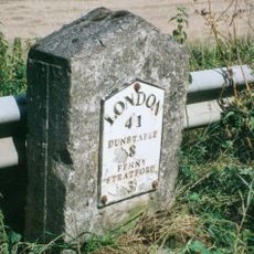
Milestone, Main Road; 50m NW of lane to Rammamere Farm and half mile NW of County Boundary, SE of Little Brickhill turn
3.2 km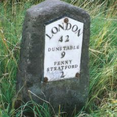
Milestone, north-bound carriageway, just before slip road to Little Brickhill
3.8 kmRecensioni
Ha visitato questo luogo? Tocchi le stelle per valutarlo e condividere la Sua esperienza o foto con la community! Provalo ora! Puoi annullarlo in qualsiasi momento.
Scopri tesori nascosti ad ogni viaggio!
Da piccoli caffè caratteristici a panorami nascosti, fuggi dalla folla e scova i posti che fanno davvero per te. La nostra app ti semplifica tutto: ricerca vocale, filtri furbi, percorsi ottimizzati e dritte autentiche da viaggiatori di tutto il mondo. Scaricala subito per vivere l'avventura sul tuo smartphone!

Un nuovo approccio alla scoperta turistica❞
— Le Figaro
Tutti i luoghi che meritano di essere esplorati❞
— France Info
Un’escursione su misura in pochi clic❞
— 20 Minutes
