Cranfield, parrocchia civile inglese
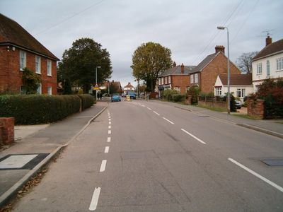
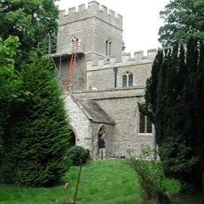
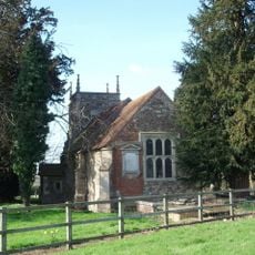
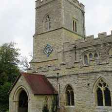
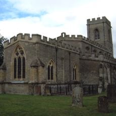
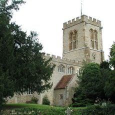
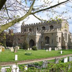
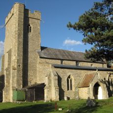
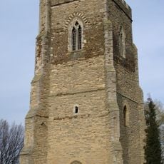
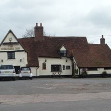
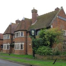
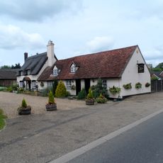
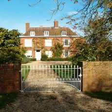
Cranfield è un villaggio nel Bedfordshire centrale con edifici che si estendono su diverse epoche, dalle case storiche agli sviluppi residenziali più recenti. L'insediamento si estende lungo la High Street e mostra un mix di origini rurali e espansione moderna.
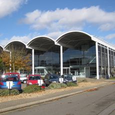
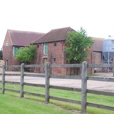
Il villaggio ha radici agricole ed è stato trasformato dalla costruzione di un aeroporto prima della Seconda Guerra Mondiale. Questa infrastruttura ha plasmato significativamente la sua crescita e ha portato ad aumenti di popolazione particolarmente visibili nella seconda metà del 20° secolo.
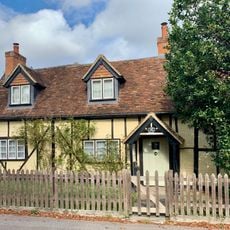
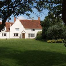
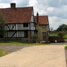
Il centro del villaggio mantiene il suo carattere tradizionale con edifici che riflettono diversi periodi costruttivi, dalle case dei lavoratori alle estensioni moderne. Le strade mostrano come i residenti hanno plasmato il luogo nel corso delle generazioni e come si è adattato alle esigenze mutevoli.
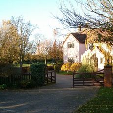
Il villaggio è facile da esplorare a piedi, con la High Street come asse principale e le strade residenziali che si diramano da essa. I visitatori dovrebbero notare che molti edifici storici sono proprietà private e possono essere visti solo dall'esterno, quindi è consigliabile una passeggiata lenta per osservare i diversi stili costruttivi.
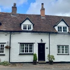
La Memorial Hall del 1911 è stata estensivamente rinnovata più volte e continua a servire come punto d'incontro comunitario, mostrando come il villaggio preserva e adatta i suoi edifici per i tempi moderni. Il fatto che Jessamine Cottages abbia riaperto finestre murate per ripristinare il suo aspetto storico illustra questa filosofia.
La comunità dei viaggiatori curiosi
AroundUs riunisce migliaia di luoghi selezionati, consigli locali e gemme nascoste, arricchiti ogni giorno da oltre 60,000 contributori in tutto il mondo.