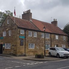
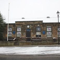
Great Ayton, village in North Yorkshire, England, UK
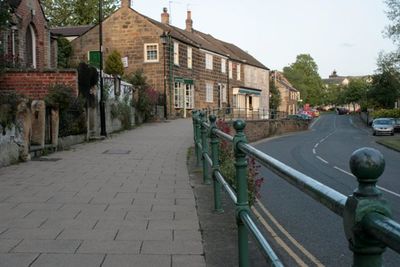
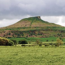
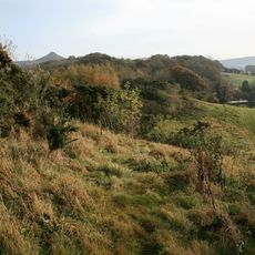
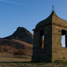
Great Ayton è un villaggio nello Yorkshire del Nord situato ai piedi delle Colline di Cleveland, con accesso a sentieri escursionistici e viste sui dintorni. Ha una piccola strada principale con negozi, caffè e pub, chiese tradizionali, e si trova vicino a Roseberry Topping, una collina distintiva nel paesaggio.
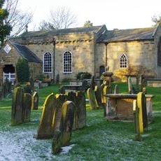
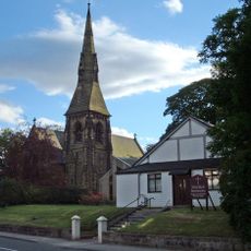
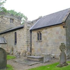
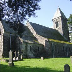
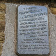
Il villaggio è registrato nel Domesday Book dell'undicesimo secolo, e la chiesa di All Saints risale al dodicesimo secolo. Ha guadagnato una più ampia notorietà come luogo d'infanzia del Capitano James Cook, il famoso esploratore del diciottesimo secolo.
Il villaggio mantiene un forte legame con James Cook, l'esploratore che trascorse parte della sua infanzia qui, e questo patrimonio plasma l'identità locale. I gruppi comunitari preservano attivamente tradizioni come il sword dancing e organizzano eventi che mantengono viva la storia del villaggio.
Il villaggio è accessibile in autobus via le strade A173 e B1292 e ha una stazione ferroviaria con collegamenti a città più grandi. Ci sono aree di parcheggio, bagni pubblici e diversi alloggi, ristoranti e caffè per i visitatori.
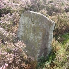
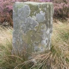
Un obelisco in pietra segna il luogo dove si trovava un tempo la casa della famiglia Cook prima di essere spostata a Melbourne negli anni 1930. Questa connessione inaspettata tra il villaggio e l'Australia lo rende un punto storico distintivo.
La comunità dei viaggiatori curiosi
AroundUs riunisce migliaia di luoghi selezionati, consigli locali e gemme nascoste, arricchiti ogni giorno da oltre 60,000 contributori in tutto il mondo.