
Blofield, villaggio e parrocchia civile inglese
Posizione: Broadland
Sito web: http://parishcouncil.blofieldvillage.org.uk
Coordinate GPS: 52.63500,1.44800
Ultimo aggiornamento: 9 marzo 2025 alle 03:58
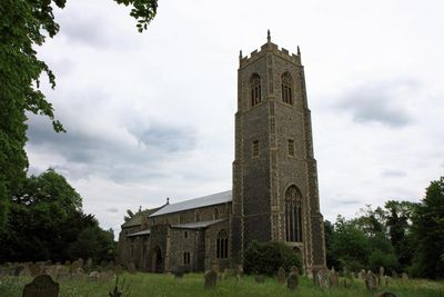
Church of St Michael
1.1 km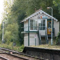
Brundall signal box
1.9 km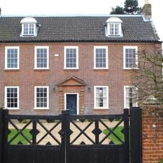
Hemblington Hall
2.3 km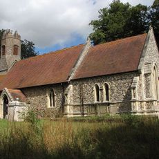
Church of St Margaret
2 km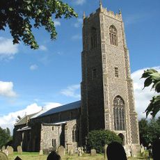
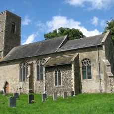
Church of St Andrew and St Peter
544 m
Church of All Saints
2.6 km
Church of St Mary
4.7 km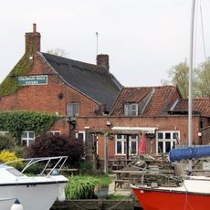
Coldham Hall Inn
2.7 km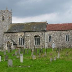
Church of St Peter
2.7 km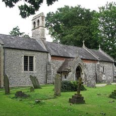
Church of St Lawrence
1.8 km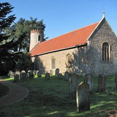
Church of St Gervase and Protase
2.9 km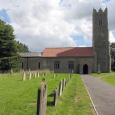
Church of St Peter
2.5 km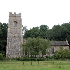
Church of St Andrew
3.1 km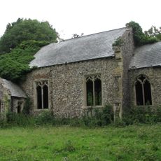
Church of St Peter
3.4 km
Church of St Mary the Virgin
3.2 km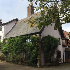
The Manor House
3.2 km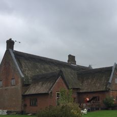
Thatched Cottage
3 km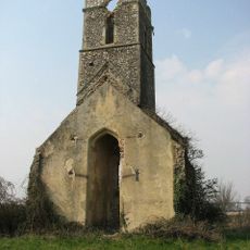
Ruined Church of All Saints
4.1 km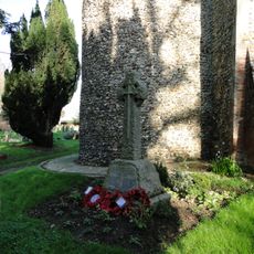
Little Plumstead War Memorial
2.9 km
North Burlingham War Memorial Cross
3.1 km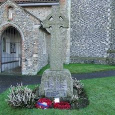
Strumpshaw War Memorial
2.5 km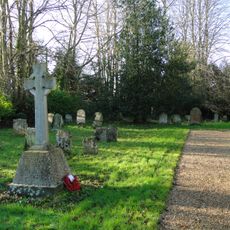
Great Plumstead War Memorial
3.2 km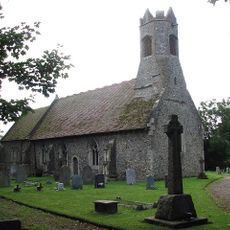
Witton War Memorial Cross
2 km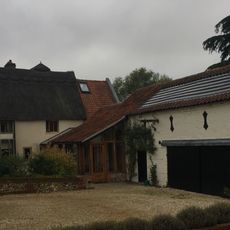
Oaklands Farmhouse
2.6 km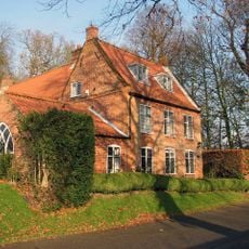
Beech House
476 m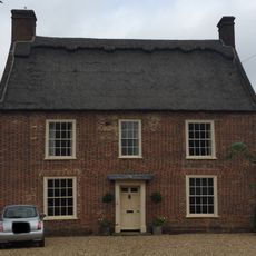
School House
3.1 km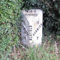
Milepost, Yarmouth Rd, by No. 133 , opp. garden centre
667 m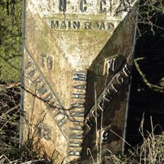
Milepost, 7 yds N of jct with A47
3.9 kmRecensioni
Ha visitato questo luogo? Tocchi le stelle per valutarlo e condividere la Sua esperienza o foto con la community! Provalo ora! Puoi annullarlo in qualsiasi momento.
Scopri tesori nascosti ad ogni viaggio!
Da piccoli caffè caratteristici a panorami nascosti, fuggi dalla folla e scova i posti che fanno davvero per te. La nostra app ti semplifica tutto: ricerca vocale, filtri furbi, percorsi ottimizzati e dritte autentiche da viaggiatori di tutto il mondo. Scaricala subito per vivere l'avventura sul tuo smartphone!

Un nuovo approccio alla scoperta turistica❞
— Le Figaro
Tutti i luoghi che meritano di essere esplorati❞
— France Info
Un’escursione su misura in pochi clic❞
— 20 Minutes