Horwich, Città ferroviaria nel Grande Manchester, Inghilterra
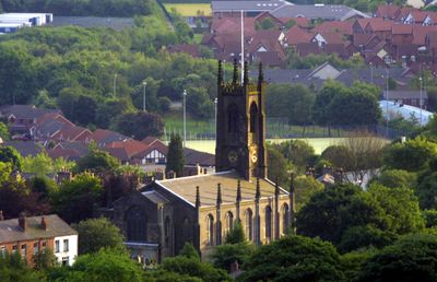
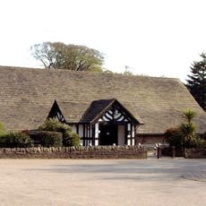
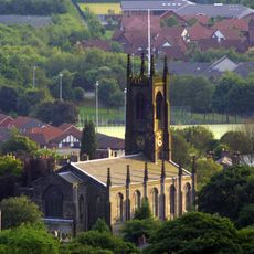
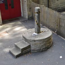
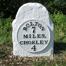
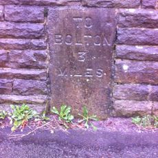
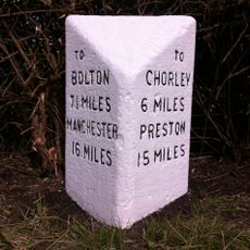
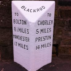
Horwich è una città situata tra Bolton e Chorley nel nord-ovest dell'Inghilterra, che copre un'area di circa 507 ettari. L'insediamento si estende su un terreno ondulato con quartieri residenziali, negozi locali e spazi verdi sparsi nel paesaggio.
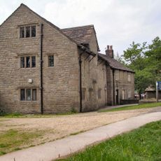
Una fabbrica di locomotive ha aperto nel 1884, trasformando l'insediamento da una comunità agricola a un centro industriale che è cresciuto rapidamente. La fabbrica è diventata il principale datore di lavoro dell'area per molti decenni e ha modellato lo sviluppo della zona.
I bambini raccolgono uova decorate nei giorni prima di Pasqua, una tradizione locale che riunisce le famiglie e riflette il legame della comunità con le celebrazioni stagionali. Questo costume rimane una parte importante di come i residenti segnano l'arrivo della primavera.
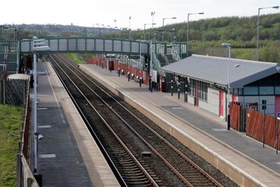
La città è accessibile in treno tramite la stazione di Horwich Parkway e da più rotte di autobus, con accesso diretto all'autostrada nelle vicinanze. L'impianto è facile da navigare, con negozi e servizi raggruppati nel centro della città.
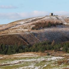
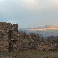
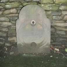
La foresta medievale che un tempo copriva questa area era dimora di lupi e fungeva da terreno di caccia per i primi re prima di essere disboscata nel 16° secolo. Poche tracce di questo passato selvaggio rimangono visibili oggi se non negli archivi storici locali e nei nomi dei luoghi.
La comunità dei viaggiatori curiosi
AroundUs riunisce migliaia di luoghi selezionati, consigli locali e gemme nascoste, arricchiti ogni giorno da oltre 60,000 contributori in tutto il mondo.