·

Attiva posizione

Abbiamo bisogno della tua posizione per mostrarti luoghi interessanti intorno a te

Scopri luoghi nelle vicinanze

Trova luoghi interessanti e gemme nascoste intorno a te

Indicazioni precise

Ottieni indicazioni precise e distanze verso i luoghi

La tua posizione non viene mai condivisa con altri utenti. Viene utilizzata solo quando tocchi il pulsante posizione.

Sheepstor

Accedi al tuo account

Inizia a esplorare — è gratis

Scelto da 62.659 viaggiatori nel mondo

Continua con Google
Continua con Apple
o

Ti invieremo un codice per connetterti

Continuando, accetti i nostri Termini e Condizioni e la nostra Informativa sulla Privacy

Controlla la tua casella di posta

Abbiamo inviato un codice PIN nella tua casella di posta. Inserisci il codice qui sotto.

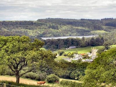
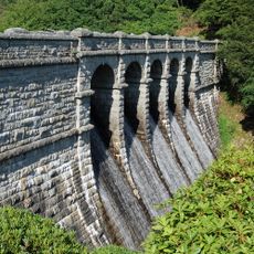
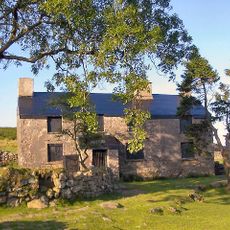
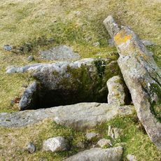
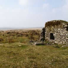
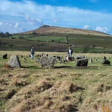
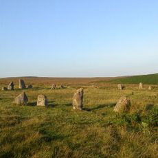
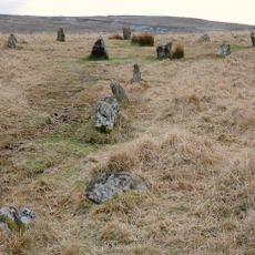
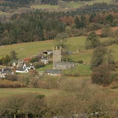
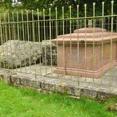
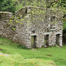
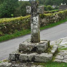
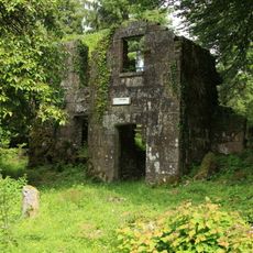
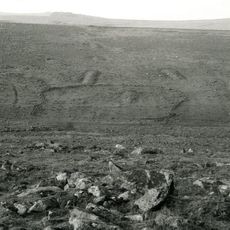
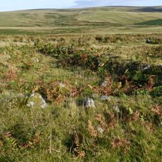
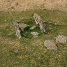
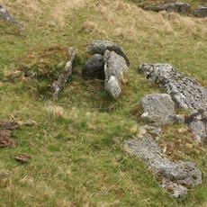
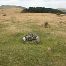
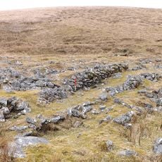
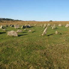
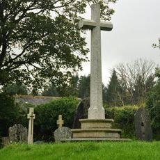
Sheepstor, Villaggio in Inghilterra

La comunità dei viaggiatori curiosi

AroundUs riunisce migliaia di luoghi selezionati, consigli locali e gemme nascoste, arricchiti ogni giorno da oltre 60,000 contributori in tutto il mondo.

Inizia a esplorare
Posizione
Coordinate GPS
50.49085,-4.03204
Ultimo aggiornamento
3 marzo 2025 alle 06:28
Intorno a questo luogo
Burrator Reservoir
Regno Unito

Burrator Reservoir

1.1 km
Ditsworthy Warren House
Regno Unito

Ditsworthy Warren House

2.8 km
Drizzlecombe
Regno Unito

Drizzlecombe

3.2 km
Eylesbarrow mine
Regno Unito

Eylesbarrow mine

4.6 km
Yellowmead Down
Regno Unito

Yellowmead Down

1.5 km
Brisworthy stone circle
Regno Unito

Brisworthy stone circle

2.3 km
Ringmoor stone row and cairn circle
Regno Unito

Ringmoor stone row and cairn circle

1.8 km
Church of St Leonard, Sheepstor
Regno Unito

Church of St Leonard, Sheepstor

56 m
Brooke Monuments To The North Of Church Of St Leonard
Regno Unito

Brooke Monuments To The North Of Church Of St Leonard

53 m
Middleworth farmstead, 450m south east of Norsworthy Bridge
Regno Unito

Middleworth farmstead, 450m south east of Norsworthy Bridge

2 km
Prehistoric and historic archaeological landscape at Trowlesworthy Warren
Regno Unito

Prehistoric and historic archaeological landscape at Trowlesworthy Warren

3 km
Roman's Cross
Regno Unito

Roman's Cross

7 m
Longstone Manor House
Regno Unito

Longstone Manor House

849 m
Three round cairns 370m ENE of Down Tor
Regno Unito

Three round cairns 370m ENE of Down Tor

3.1 km
Cairn with a cist south-east of Shavercombe Tor
Regno Unito

Cairn with a cist south-east of Shavercombe Tor

4 km
Multi-period remains at Hentor Warren
Regno Unito

Multi-period remains at Hentor Warren

3.4 km
Partially enclosed stone hut circle settlement and post-medieval warren structures on the western slope of Little and Great Trow
Regno Unito

Partially enclosed stone hut circle settlement and post-medieval warren structures on the western slope of Little and Great Trow

3.6 km
Cairn with a cist east of Willings Walls Reave
Regno Unito

Cairn with a cist east of Willings Walls Reave

3.3 km
Cairn with cist north of Gutter Tor
Regno Unito

Cairn with cist north of Gutter Tor

1.8 km
Prehistoric settlement, three round cairns and a post-medieval rabbit warren at Legis Tor
Regno Unito

Prehistoric settlement, three round cairns and a post-medieval rabbit warren at Legis Tor

2.5 km
Agglomerated enclosure with hut circles and later farmstead at Whittenknowles Rocks
Regno Unito

Agglomerated enclosure with hut circles and later farmstead at Whittenknowles Rocks

2.6 km
Cairn with a cist north of Whittenknowles Rocks
Regno Unito

Cairn with a cist north of Whittenknowles Rocks

2.7 km
Round cairn 100m south of Down Tor
Regno Unito

Round cairn 100m south of Down Tor

2.6 km
Cist south east of Roughtor Plantation
Regno Unito

Cist south east of Roughtor Plantation

2.1 km
A prehistoric settlement with cairns and a historic tin mill, streamwork and buildings lying adjacent to the Langcombe Brook
Regno Unito

A prehistoric settlement with cairns and a historic tin mill, streamwork and buildings lying adjacent to the Langcombe Brook

4.6 km
Yellowmead stone circles, cairn and stone alignment
Regno Unito

Yellowmead stone circles, cairn and stone alignment

1.5 km
Maj J. Bayly Memorial Cross, Sheepstor
Regno Unito

Maj J. Bayly Memorial Cross, Sheepstor

71 m
Two Brothers Adit
Regno Unito

Two Brothers Adit

3.4 km
Mostra la mappa completa
« Sheepstor - Villaggio in Inghilterra » è fornito da Around Us (it.aroundus.com). Le immagini e i testi sono tratti dal progetto Wikimedia con licenza Creative Commons. È possibile copiare, distribuire e modificare copie di questa pagina, alle condizioni stabilite dalla licenza, a condizione che questa nota sia chiaramente visibile.

Scopri tesori nascosti ad ogni viaggio!

Da piccoli caffè caratteristici a panorami nascosti, fuggi dalla folla e scova i posti che fanno davvero per te. La nostra app ti semplifica tutto: ricerca vocale, filtri furbi, percorsi ottimizzati e dritte autentiche da viaggiatori di tutto il mondo. Scaricala subito per vivere l'avventura sul tuo smartphone!

Around Us App Screenshot

Un nuovo approccio alla scoperta turistica

Le Figaro

Tutti i luoghi che meritano di essere esplorati

France Info

Un’escursione su misura in pochi clic

20 Minutes

Around Us
Guida di viaggio e mappe
Scarica

Invia al tuo telefono

QR Code
1

Apri l'app fotocamera sul tuo cellulare.

2

Inquadra il codice QR con la fotocamera. Apparirà una notifica.

3

Tocca la notifica per aprire il link.