
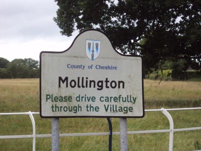
Mollington, village and civil parish in Cheshire West and Chester, England
Posizione: Cheshire West and Chester
Confina con: Capenhurst, Saughall and Shotwick Park, Puddington, Lea by Backford, Moston, Upton-by-Chester, Chester
Coordinate GPS: 53.22600,-2.95900
Ultimo aggiornamento: 3 marzo 2025 alle 04:15
Zoo di Chester
5 km
Shotwick House
277 m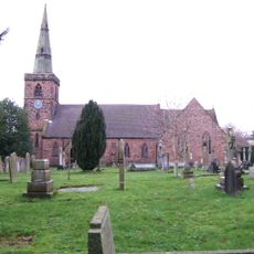
Holy Ascension Church, Upton by Chester
4.9 km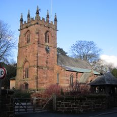
St Oswald's Church, Backford
4 km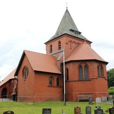
All Saints Church, Great Saughall
286 m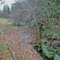
Bache Hall
4.7 km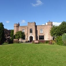
Crabwall Manor
2.5 km
Countess of Chester Country Park
4.3 km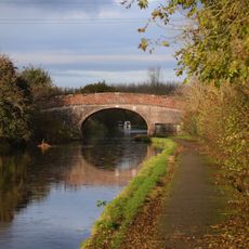
Knolls Bridge (Canal Bridge Number 131)
3.5 km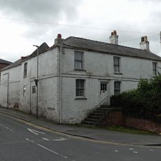
The Old Swinging Gate Inn
372 m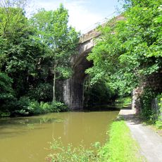
Mollington Viaduct
3.3 km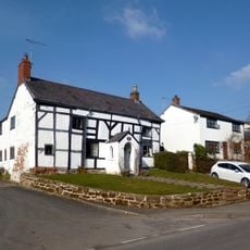
Bridge Farmhouse
415 m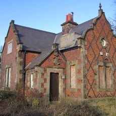
Lodge to Backford Hall
3.9 km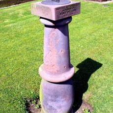
Sundial in churchyard of St Oswald's Church
4 km
Upton and District War Memorial Cross
5 km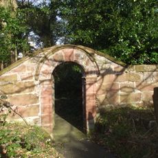
Churchyard walls and gateway to church of St Oswald
4 km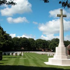
Blacon Cemetery Cross of Sacrifice
4 km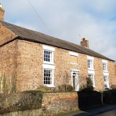
Aldersey House
200 m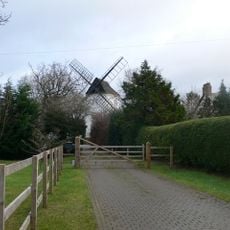
Gibbet Windmill
1.9 km
Footpath guidepost 25 metres south west of Bridge Farmhouse
424 m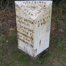
Footpath Guidepost In North West Corner Of The Garden Of Longlands
4.3 km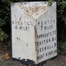
Milepost, Saughall Nurseries
1.4 km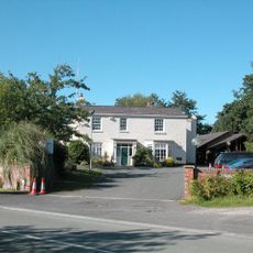
Vicarage
4.2 km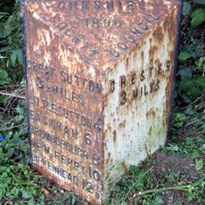
Milepost, S of Backford Bridge
4 km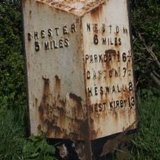
Milepost, Parkgate Road, Woodbank
2.3 km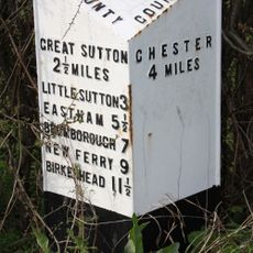
Milepost, between Axes Farm and A5032 jct
3.9 km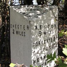
Milepost, SE of Mollington Grange
3.2 km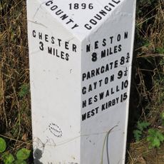
Milepost, E of Overwood Lane jcn
1.9 kmRecensioni
Ha visitato questo luogo? Tocchi le stelle per valutarlo e condividere la Sua esperienza o foto con la community! Provalo ora! Puoi annullarlo in qualsiasi momento.
Scopri tesori nascosti ad ogni viaggio!
Da piccoli caffè caratteristici a panorami nascosti, fuggi dalla folla e scova i posti che fanno davvero per te. La nostra app ti semplifica tutto: ricerca vocale, filtri furbi, percorsi ottimizzati e dritte autentiche da viaggiatori di tutto il mondo. Scaricala subito per vivere l'avventura sul tuo smartphone!

Un nuovo approccio alla scoperta turistica❞
— Le Figaro
Tutti i luoghi che meritano di essere esplorati❞
— France Info
Un’escursione su misura in pochi clic❞
— 20 Minutes