
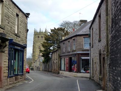
Youlgreave, village and civil parish in Derbyshire Dales district, Derbyshire, England
Posizione: Derbyshire Dales
Confina con: Over Haddon, Monyash, Nether Haddon, Gratton, Harthill, Middleton and Smerrill
Coordinate GPS: 53.17500,-1.68700
Ultimo aggiornamento: 14 marzo 2025 alle 16:51

Nine Stones Close
2.2 km
All Saints’ Church, Youlgreave
217 m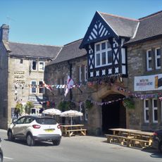
Bulls Head
66 m
Conksbury Bridge
1.4 km
Western gatepiers and gates to All Saints Churchyard
196 m
Mill Bridge
1.2 km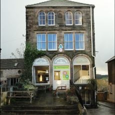
YHA Hostel
33 m
Coal Pit Bridge
1 km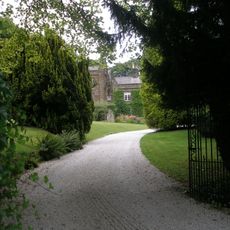
Lomberdale Hall
1.2 km
Meadow Place Grange Farmhouse
1.8 km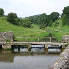
Footbridge over River Bradford 60 metres south west of Bedford House
391 m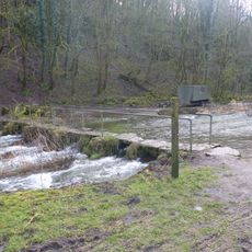
Footbridge 20 metres south of Lathkill Lodge, over River Lathkill
2 km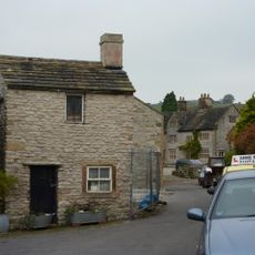
Thimble Hall
33 m
All Saints School and School House
293 m
Raper Lodge
893 m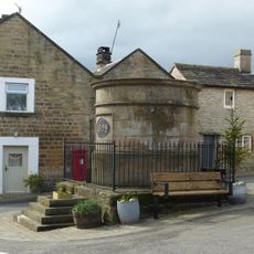
Conduit Head
37 m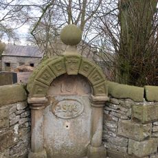
Water Supply Fountain
1.8 km
Castle Ring defended settlement
1.8 km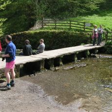
Footbridge over River Bradford
298 m
Rock House
1.1 km
Auburn House and attached railings
160 m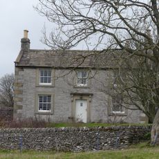
Haddon Grove Farm (East)
3.5 km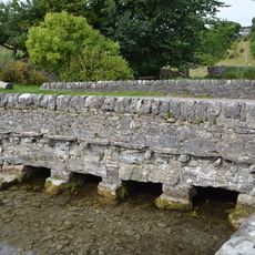
Road bridge over River Bradford
422 m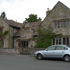
Old Hall
53 m
Sundial 10 metres south west of All Saints Church porch
219 m
Packhorse bridge over River Bradford 120 metres south east of Braemar House
514 m
Ravenstor Close and attached garage
645 m
Lathkill House Farmhouse
1 kmRecensioni
Ha visitato questo luogo? Tocchi le stelle per valutarlo e condividere la Sua esperienza o foto con la community! Provalo ora! Puoi annullarlo in qualsiasi momento.
Scopri tesori nascosti ad ogni viaggio!
Da piccoli caffè caratteristici a panorami nascosti, fuggi dalla folla e scova i posti che fanno davvero per te. La nostra app ti semplifica tutto: ricerca vocale, filtri furbi, percorsi ottimizzati e dritte autentiche da viaggiatori di tutto il mondo. Scaricala subito per vivere l'avventura sul tuo smartphone!

Un nuovo approccio alla scoperta turistica❞
— Le Figaro
Tutti i luoghi che meritano di essere esplorati❞
— France Info
Un’escursione su misura in pochi clic❞
— 20 Minutes