Lisburn, Città mercantile nell'Irlanda del Nord, Regno Unito
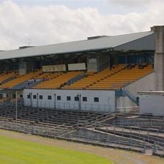
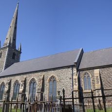
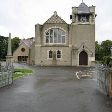
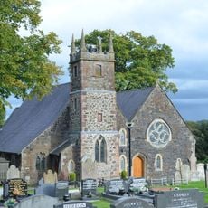
Lisburn è una cittadina nell'Irlanda del Nord posta sul fiume Lagan che funge da centro regionale per la campagna circostante. La struttura urbana si sviluppa lungo la sponda del fiume con quartieri residenziali che si estendono sulle colline adiacenti.
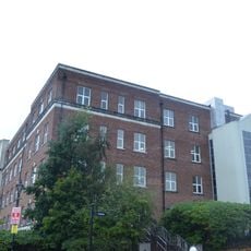
L'insediamento crebbe nel XVII secolo dopo l'arrivo di tessitori fiamminghi che portarono nuovi metodi di produzione. Nel XVIII secolo la città si era sviluppata in un importante sito di produzione tessile con fabbriche lungo il fiume.
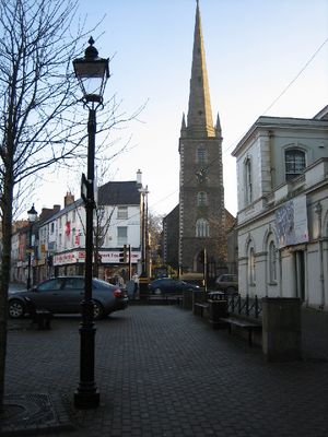
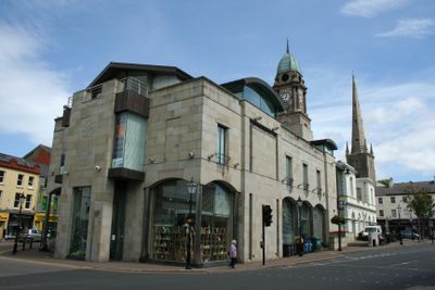
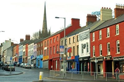
Il centro città conserva l'impianto della tradizionale piazza del mercato con vie disposte attorno all'antica area commerciale. Oggi questi spazi si riempiono di negozi moderni e caffè mentre la struttura originaria continua a modellare il movimento pedonale.
Gli autobus collegano il centro con le città circostanti e circolano a intervalli regolari durante il giorno. Una passeggiata nell'area principale richiede circa mezz'ora e copre la maggior parte delle zone di interesse.
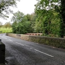
Il fiume scorreva attraverso diverse ruote di mulino che alimentavano l'industria tessile e resti dei vecchi sistemi di canali rimangono visibili in alcuni punti lungo la riva. Questi canali deviavano il fiume per rifornire singole botteghe.
La comunità dei viaggiatori curiosi
AroundUs riunisce migliaia di luoghi selezionati, consigli locali e gemme nascoste, arricchiti ogni giorno da oltre 60,000 contributori in tutto il mondo.