
Tormarton, village and civil parish in Gloucestershire, UK
Posizione: South Gloucestershire
Sito web: https://tormarton.org
Coordinate GPS: 51.50747,-2.33369
Ultimo aggiornamento: 13 marzo 2025 alle 18:55
Dyrham Park
4.1 km
Dodington Park
2 km
Church of St Peter
4.1 km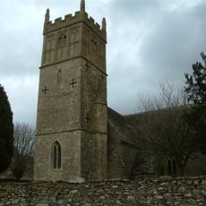
Church of St Mary
4.5 km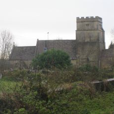
Church of St Mary Magdelene
71 m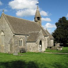
Church of St James
3.4 km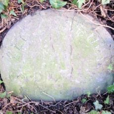
Milestone, About 100 Yards South Of Junction With Church Lane
2.9 km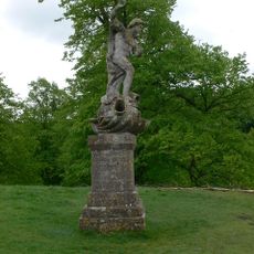
Statue of Neptune About 320 Metres East of Dyrham House
4 km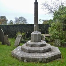
Dyrham War Memorial
4.1 km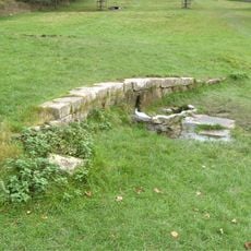
Remains Of Wall About 200 Metres North Of Statue Of Neptune
3.8 km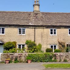
Barn Cottage and Plum Tree Cottage
64 m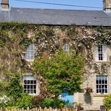
Dunsdown House
3 km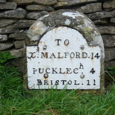
Milestone About 35 Metres North West Of The Crown Inn, On West Side Of A46
2.4 km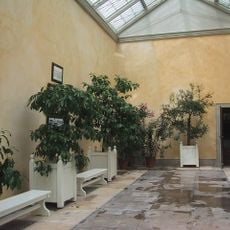
Orangery Attached To South East Of Dyrham House
4.1 km
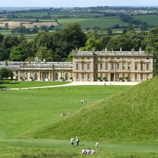
Dyrham House
4.1 km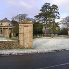
Bath Lodge
1.2 km
Old Hundred
492 m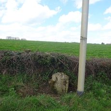
Milestone On Road 30 Yards To East Of The Beeches
2.7 km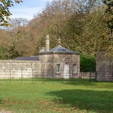
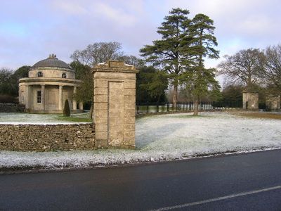
Lodge, Walls, Gate Piers And Railings To Dyrham Park On Bath Road
3.6 km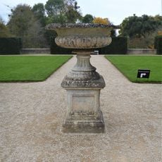
Plinth And Urn About 30 Metres West Of Dyrham House
4.1 km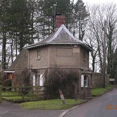
Turnpike Tollhouse
1.2 km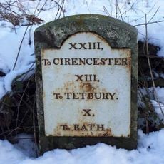
Milestone At Ngr 763790
671 m
Barn About 20 Metres South West Of Old Warren Farmhouse
2.4 km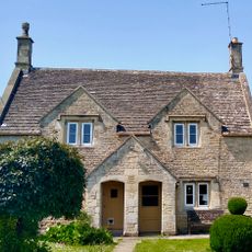
10, Marshfield Road
187 m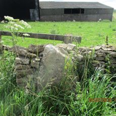
Milestone, Rushmead Farm, Tormarton Road
3.8 km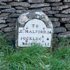
Milestone, jct with A46, opp. The Crown PH
2.4 km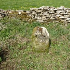
Milestone, E of hotel - blank
2.2 km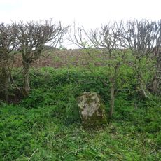
Milestone, E of Newhouse Farm
3.3 kmRecensioni
Ha visitato questo luogo? Tocchi le stelle per valutarlo e condividere la Sua esperienza o foto con la community! Provalo ora! Puoi annullarlo in qualsiasi momento.
Scopri tesori nascosti ad ogni viaggio!
Da piccoli caffè caratteristici a panorami nascosti, fuggi dalla folla e scova i posti che fanno davvero per te. La nostra app ti semplifica tutto: ricerca vocale, filtri furbi, percorsi ottimizzati e dritte autentiche da viaggiatori di tutto il mondo. Scaricala subito per vivere l'avventura sul tuo smartphone!

Un nuovo approccio alla scoperta turistica❞
— Le Figaro
Tutti i luoghi che meritano di essere esplorati❞
— France Info
Un’escursione su misura in pochi clic❞
— 20 Minutes