
Brenzett, village and civil parish in Kent, UK
Posizione: Folkestone and Hythe District
Coordinate GPS: 51.00974,0.85380
Ultimo aggiornamento: 5 marzo 2025 alle 08:43
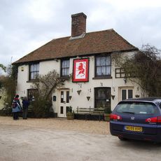
Red Lion, Snargate
1.8 km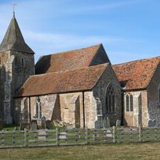
Church of St Clement, Old Romney
3.8 km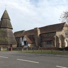
St Augustine's Church, Brookland
2 km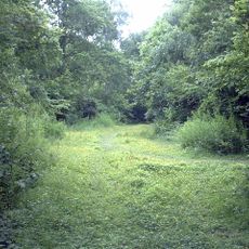
Ham Street Woods
7.1 km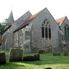
St Eanswith's Church, Brenzett
535 m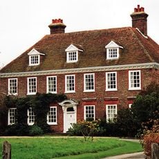
Leacon Hall
6.1 km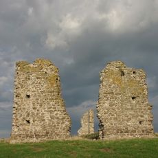
Hope All Saints', remains of church
4.9 km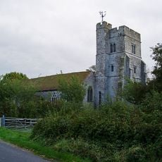
Church of St Peter and St Paul
6.5 km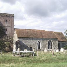
Church of St Matthew
5.4 km
Church of St George
2.5 km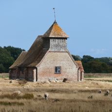
Church of St Thomas A Becket and mounting block attached
3.7 km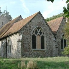
Church of St Augustine
2.9 km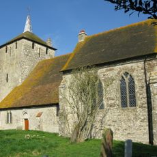
Church of St Mary Magdalene
6.7 km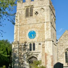
Church of St Peter and St Paul
5 km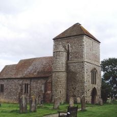
Church of St Mary
5.6 km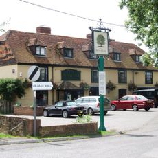
The Royal Oak Inn
2 km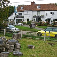
The Woolpack Inn
5.5 km
Church of St Dunstan
1.9 km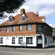
The Fleur De Lys Public House The Fleur-De-Lys-Public House
46 m
Smith's Farmhouse
5.5 km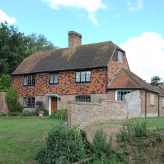
Brattle House
2 km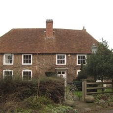
The Manor House
3.7 km
Detached Belfry about 1 yard north of Church of St Augustine
2 km
Blue House Farmhouse
849 m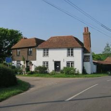
Sly Corner
6.1 km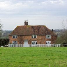
Mill House
6.1 km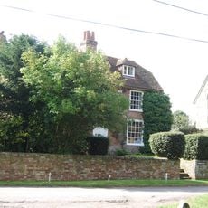
Church Farmhouse
5.4 km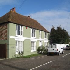
Brookland House
1.9 kmRecensioni
Ha visitato questo luogo? Tocchi le stelle per valutarlo e condividere la Sua esperienza o foto con la community! Provalo ora! Puoi annullarlo in qualsiasi momento.
Scopri tesori nascosti ad ogni viaggio!
Da piccoli caffè caratteristici a panorami nascosti, fuggi dalla folla e scova i posti che fanno davvero per te. La nostra app ti semplifica tutto: ricerca vocale, filtri furbi, percorsi ottimizzati e dritte autentiche da viaggiatori di tutto il mondo. Scaricala subito per vivere l'avventura sul tuo smartphone!

Un nuovo approccio alla scoperta turistica❞
— Le Figaro
Tutti i luoghi che meritano di essere esplorati❞
— France Info
Un’escursione su misura in pochi clic❞
— 20 Minutes