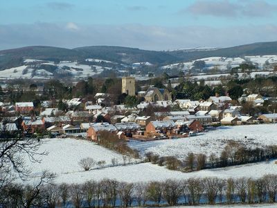
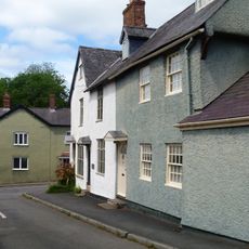
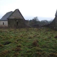
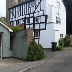
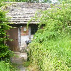
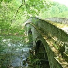
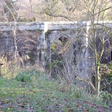
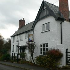
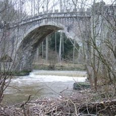
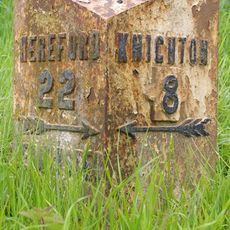
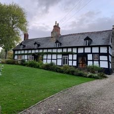
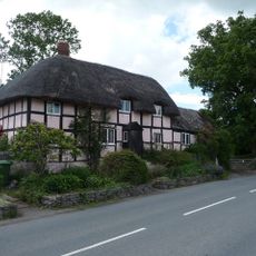
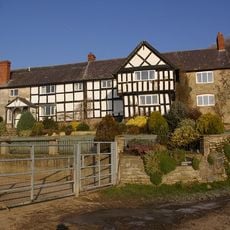
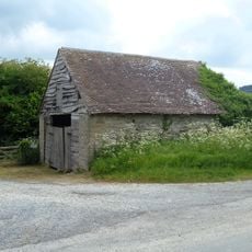
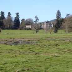
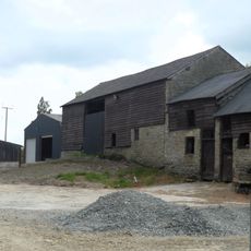
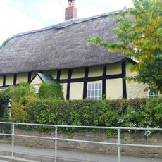
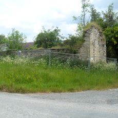
Leintwardine, village and civil parish in Herefordshire, UK
Posizione: Herefordshire
Confina con: Marlow
Coordinate GPS: 52.36100,-2.87600
Ultimo aggiornamento: 7 marzo 2025 alle 19:17
Downton Castle
4.1 km
The Grange
2.8 km
Sun Inn
246 m
Ferney Hall
4.6 km
Church of St Giles
3.3 km
Church of St Mary Magdalene
80 m
Church of St George
4.2 km
1 and 3, Church Street
36 m
Church of St Giles, Downton on the Rock
2.4 km
7, Church Street
29 m
Outbuilding About 20 Yards South-West Of The Tower Of The Church Of St Mary Magdalene
48 m
Castle Bridge, Downton
4 km
Bridge At Main Entrance To Downton Castle
4.2 km
The Swan
75 m
Forge Bridge and Weir
5 km
Castle Bridge (That Part In Burrington Civil Parish)
4 km
Burrington Bridge
3.7 km
The Mill
2.7 km
Paytoe Hall
2.6 km
Milestone And Milepost At National Grid Reference So400714
2.7 km
Lower House And Adjoining Byre
4.3 km
Plough Farmhouse
563 m
Burrington Farm
4.2 km
Storage Building About 100 Yards West-north-west Of The Grange
2.8 km
Broadward Hall
3 km
Barn And Stable About 15 Yards East Of Paytoe Hall
2.6 km
33, High Street
321 m
Outbuilding About 95 Yards West-north-west Of The Grange
2.7 kmHa visitato questo luogo? Tocchi le stelle per valutarlo e condividere la Sua esperienza o foto con la community! Provalo ora! Puoi annullarlo in qualsiasi momento.
Scopri tesori nascosti ad ogni viaggio!
Da piccoli caffè caratteristici a panorami nascosti, fuggi dalla folla e scova i posti che fanno davvero per te. La nostra app ti semplifica tutto: ricerca vocale, filtri furbi, percorsi ottimizzati e dritte autentiche da viaggiatori di tutto il mondo. Scaricala subito per vivere l'avventura sul tuo smartphone!
Un nuovo approccio alla scoperta turistica❞
— Le Figaro
Tutti i luoghi che meritano di essere esplorati❞
— France Info
Un’escursione su misura in pochi clic❞
— 20 Minutes