
Boyton, village and civil parish in the East Suffolk district of Suffolk, England, UK
Posizione: East Suffolk
Coordinate GPS: 52.07500,1.46400
Ultimo aggiornamento: 3 marzo 2025 alle 09:12

Orford Castle
5.1 km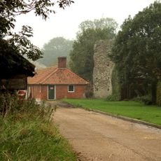
Butley Priory
1.8 km
Staverton Park and The Thicks, Wantisden
3.2 km
Gedgrave Hall Pit
3.2 km
Sandlings Forest
4 km
Sudbourne Park Pit
5 km
Richmond Farm Pit, Gedgrave
4.1 km
Buckanay Farm Pit, Alderton
5.4 km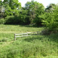
Chillesford Church Pit
4.8 km
Sutton & Hollesley Commons
4 km
Neutral Farm Pit, Butley
3.5 km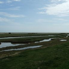
Simpson's Saltings
2.4 km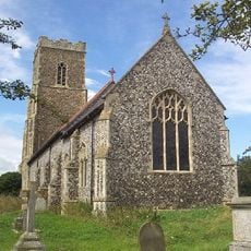
Church of All Saints
3.8 km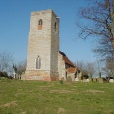
Church of St Peter
4.8 km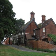
Crown And Castle Hotel
5.2 km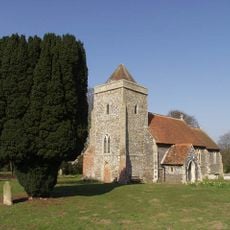
Church of St Andrew
465 m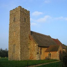
Church of St John the Baptist
2.7 km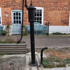
Water Pump
5.2 km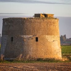
Martello Tower Z
5.7 km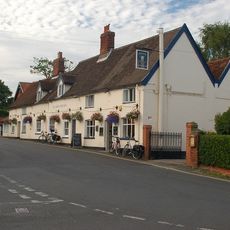
Kings Head Public House
5.3 km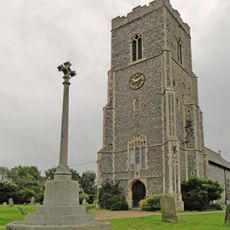
Hollesley and Shingle Street War Memorial
3.8 km
Spratts Cottage
5.2 km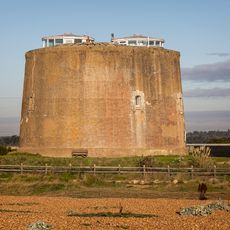
Martello Tower AA
5 km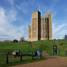
Orford Castle with adjoining quarry and remains of 20th century look-out post
5 km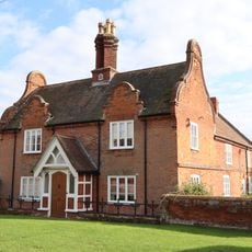
Chantry Farmhouse
5.1 km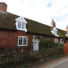
117, Castle Hill
5.1 km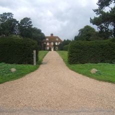
Gedgrave Hall
3.2 km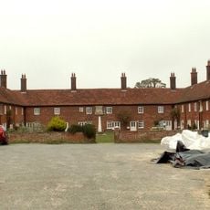
Mary Warner Almshouses And Walled Garden
515 mRecensioni
Ha visitato questo luogo? Tocchi le stelle per valutarlo e condividere la Sua esperienza o foto con la community! Provalo ora! Puoi annullarlo in qualsiasi momento.
Scopri tesori nascosti ad ogni viaggio!
Da piccoli caffè caratteristici a panorami nascosti, fuggi dalla folla e scova i posti che fanno davvero per te. La nostra app ti semplifica tutto: ricerca vocale, filtri furbi, percorsi ottimizzati e dritte autentiche da viaggiatori di tutto il mondo. Scaricala subito per vivere l'avventura sul tuo smartphone!

Un nuovo approccio alla scoperta turistica❞
— Le Figaro
Tutti i luoghi che meritano di essere esplorati❞
— France Info
Un’escursione su misura in pochi clic❞
— 20 Minutes