
Compton, village and civil parish in West Sussex, UK
Posizione: Chichester
Coordinate GPS: 50.92748,-0.89701
Ultimo aggiornamento: 3 marzo 2025 alle 14:52
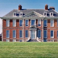
Uppark
2.9 km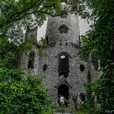
Racton Monument
5.3 km
Vandalian Tower
3.6 km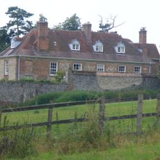
Lordington House
5 km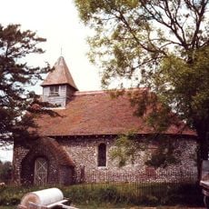
Church of St Mary
3.4 km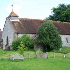
Church of St Peter
3.1 km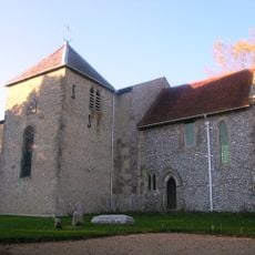
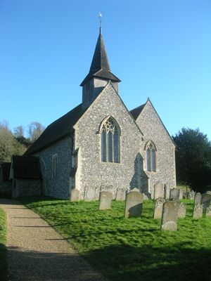
The Parish Church of St Mary
4.1 km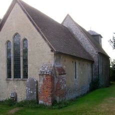
Church of St Michael
2 km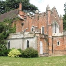
Church of St Paul
4.9 km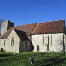
Church of St Michael
4.6 km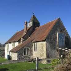
Church of St Hubert
3.4 km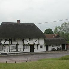
Red Lion Inn
4.6 km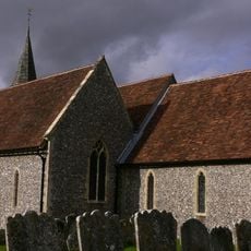
The Parish Church of St Mary
166 m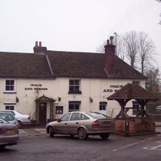
The Coach And Horses Public House
21 m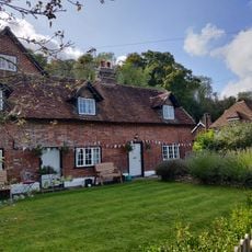
56 And 58
4.4 km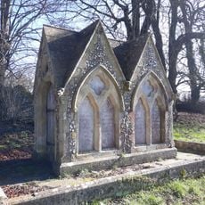
Monument 40 Metres North East Of Church
4.5 km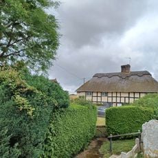
Church Cottage
5.6 km
Stansted House
4.7 km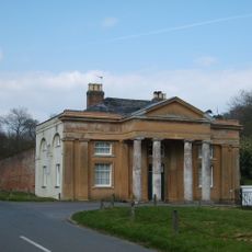
The North Lodge Of Stansted House
4.9 km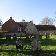
The Priory
4.6 km
The Stable Block At Up Park To The North West Of The House
2.9 km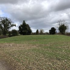
Bevis's Thumb long barrow, 370m west of Fernbeds Farm
1.3 km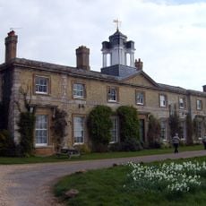
The Former Stables And Service Wing Of Stansted House
4.7 km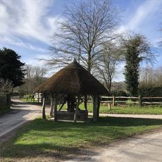
The Village Well Head And Pump
3.1 km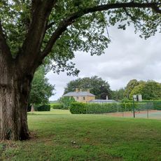
Lumley Seat
3.8 km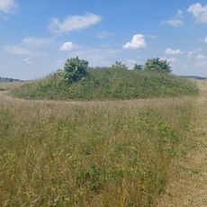
Three bowl barrows on Chalton Down, 860m east of Netherley Farm
4.2 km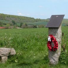
Plt Off B. Własnowolski Memorial, Stoughton, West Sussex
4.3 km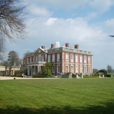
Stansted Park
4.7 kmRecensioni
Ha visitato questo luogo? Tocchi le stelle per valutarlo e condividere la Sua esperienza o foto con la community! Provalo ora! Puoi annullarlo in qualsiasi momento.
Scopri tesori nascosti ad ogni viaggio!
Da piccoli caffè caratteristici a panorami nascosti, fuggi dalla folla e scova i posti che fanno davvero per te. La nostra app ti semplifica tutto: ricerca vocale, filtri furbi, percorsi ottimizzati e dritte autentiche da viaggiatori di tutto il mondo. Scaricala subito per vivere l'avventura sul tuo smartphone!

Un nuovo approccio alla scoperta turistica❞
— Le Figaro
Tutti i luoghi che meritano di essere esplorati❞
— France Info
Un’escursione su misura in pochi clic❞
— 20 Minutes